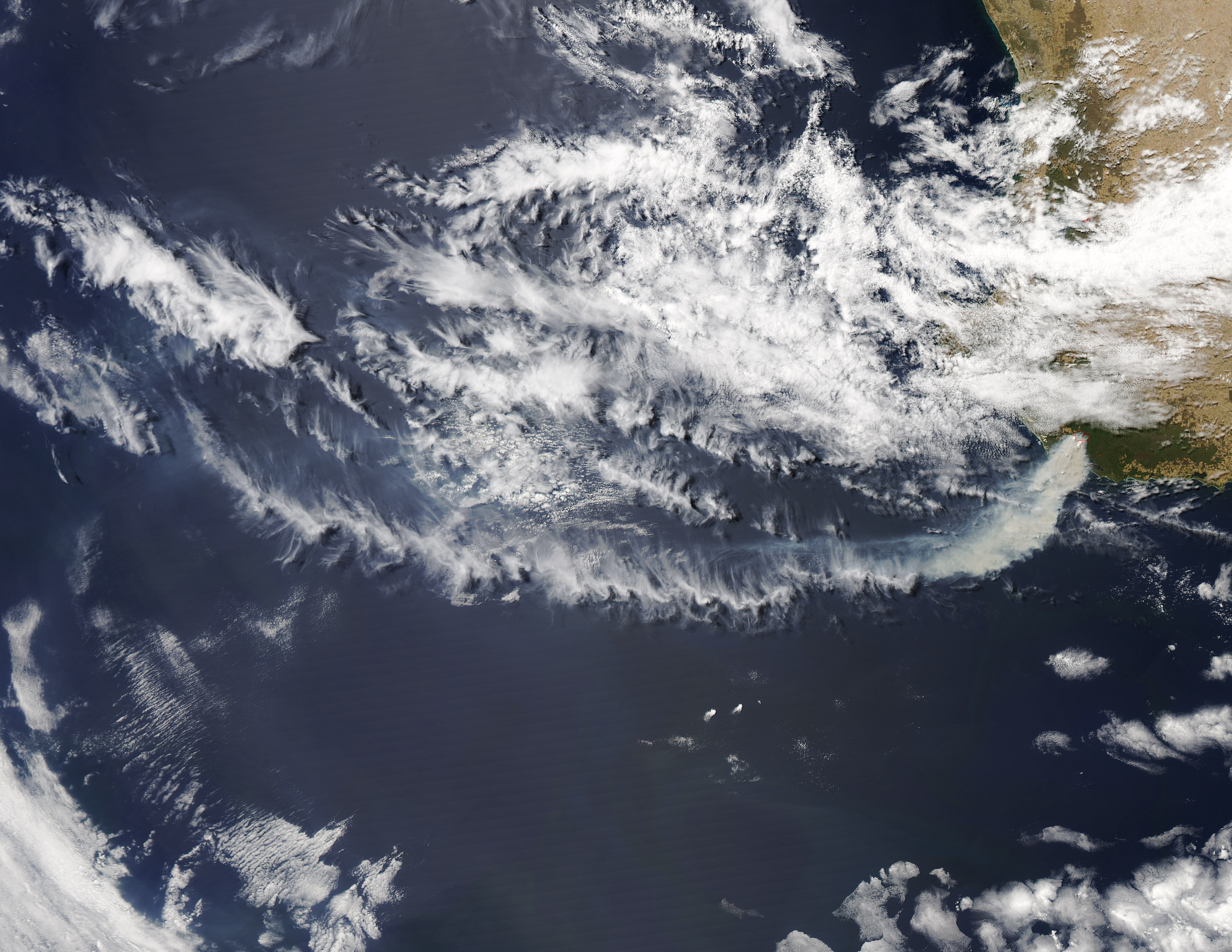
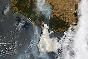
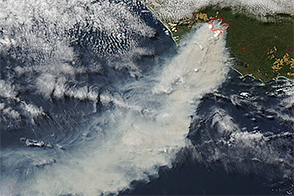
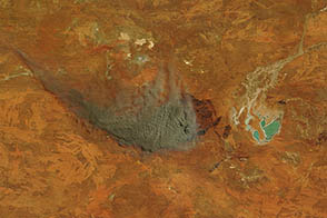
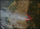
On February 1, 2015, the Moderate Resolution Imaging Spectroradiometer (MODIS) on NASA’s Aqua satellite acquired this image of a large bushfire burning near the town of Northcliffe in Western Australia. Red outlines indicate hot spots where MODIS detected unusually warm surface temperatures associated with fire. As of February 2, the fire had charred 20,000 hectares (70 square miles). According to media reports, local fire authorities considered Northcliffe “undefendable” and have urged residents to evacuate.
NASA image by Jeff Schmaltz, LANCE/EOSDIS Rapid Response. Caption by Adam Voiland.


