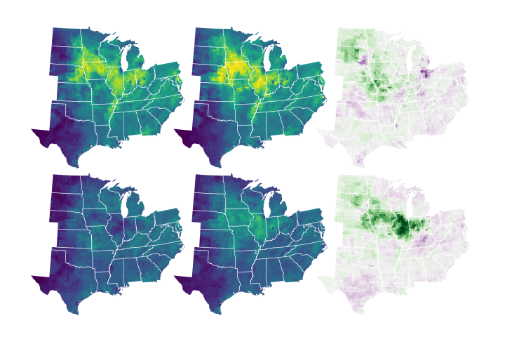
As scientists detect plant fluorescence in better detail, they inch closer to helping farmers respond to extreme weather and close in on understanding how carbon cycles through ecosystems.
Published Jul 10, 2020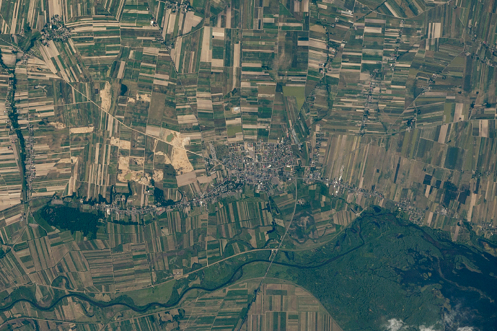
Narrow, rectangular farm plots with historic roots spread across the landscape near Warta.
Published Apr 19, 2020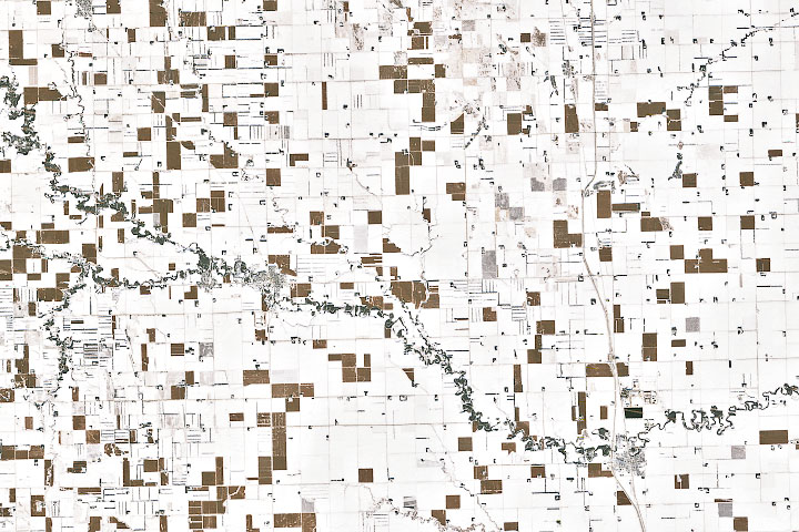
In the wake of a potent winter storm in late November in the U.S. Midwest, an unusual pattern turned up in satellite imagery.
Published Dec 6, 2019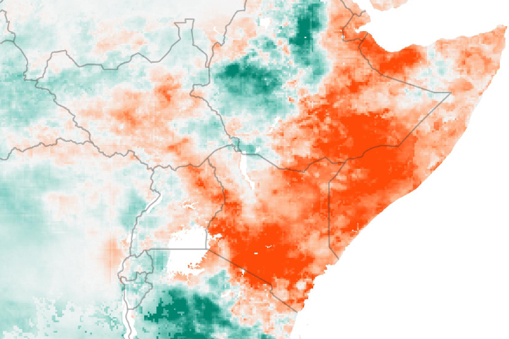
Drought is apparent across much of East Africa after seasonal rains failed to deliver much moisture to the region.
Published May 30, 2019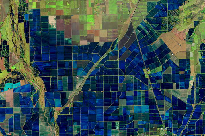
Flooded rice fields in the winter help farmers soften plant stubble for spring tilling. They also provide an oasis for migratory birds.
Published Mar 26, 2019
Fluctuations in rainfall are reducing the ability to sustain cattle on grazing lands.
Published Feb 22, 2019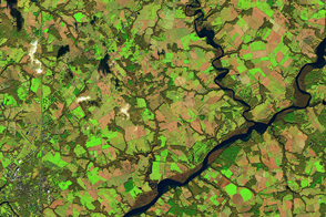
Many farmers in Maryland plant winter cover crops—a practice that reduces how much pollution flows into Chesapeake Bay.
Published Apr 26, 2017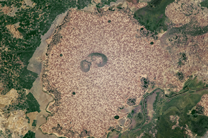
Standing beside floodplains and wetlands, the highlands are packed with farms.
Published Apr 3, 2017