The fire in Alberta, Canada, had burned 2,410 square kilometers of land by May 12, 2016.
Published May 16, 2016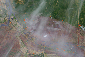
The Fort McMurray fire continued to spread, burning 850 square kilometers by the morning of May 5, 2016.
Published May 6, 2016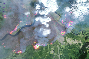
Wildfire continued to spread through Fort McMurray in Canada’s Northern Alberta region.
Published May 5, 2016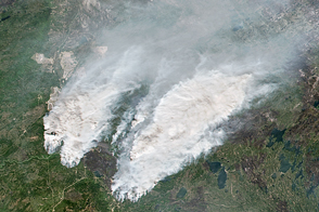
A shift in the winds has put worker camps north of Fort McMurray at risk.
Published May 17, 2016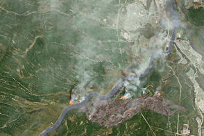
A wildfire burned through neighborhoods in Fort McMurray, Alberta, displacing tens of thousands of residents.
Published May 5, 2016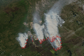
The Fort McMurray wildfire remains out of control, burning under high to extreme fire conditions.
Published May 25, 2016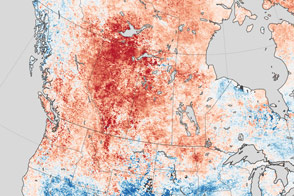
Unusually warm temperatures were part of the fire weather that spurred flames to spread through Fort McMurray in Alberta, Canada.
Published May 7, 2016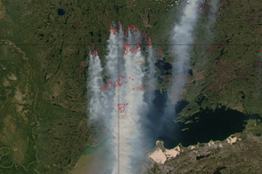
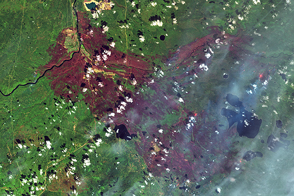
Several large wildfires burn in Alberta, Saskatchewan, and Northern Territories, Canada in this image from June 26, 2011.
Published Jun 28, 2011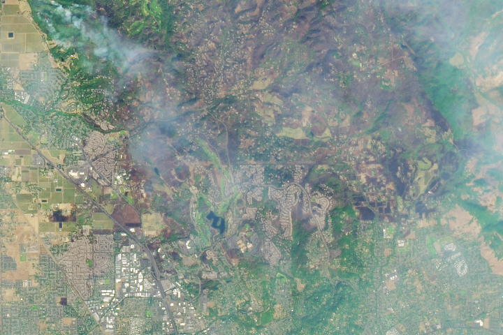
In the past week, 21 wildfires have ignited in communities north and east of San Francisco Bay, consuming at least 170,000 acres.
Published Oct 12, 2017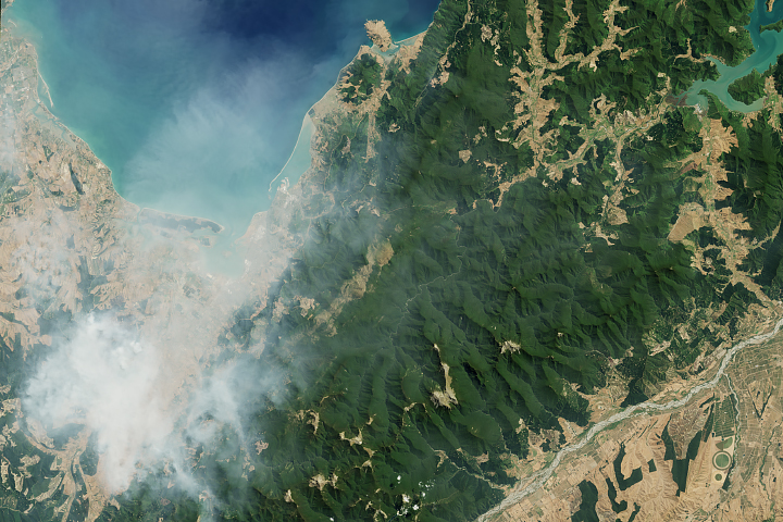
Wildfires near the city of Nelson burned amid a hot, dry summer.
Published Feb 11, 2019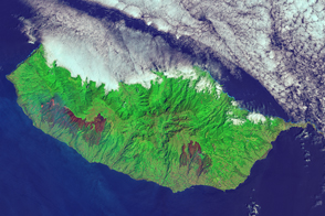
An outbreak of fire on the Portuguese island blackened a large swath of forest.
Published Aug 18, 2016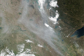
Winds pushed plumes of smoke from an intense wildfire in Alberta southeast into the Great Plains.
Published May 9, 2016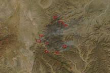
This image pair shows two large fires burning in the mountains of northern Mexico on April 3, 2011.
Published Apr 4, 2011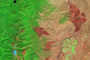
Taken on September 9, this image shows the extent of the High Cascades Complex fire burning in northern Oregon.
Published Sep 16, 2011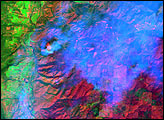
alert message
