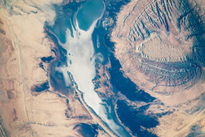
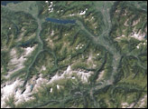
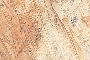
An astronaut’s lens captures the diversity of textures in a central Iranian landscape.
Published Jan 19, 2016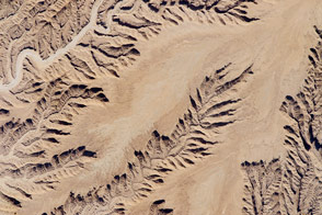
A low sun angle add three-dimensional relief to a flat landscape in the desert.
Published Dec 14, 2015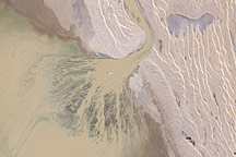
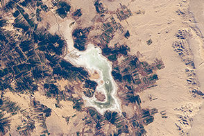
Muddy brown water spreads into Australia's Lake Eyre through a triangular delta in this natural-color Landsat image from May 9, 2009. The water transformed the dry basin into a vast inland sea where flocks of birds gathered to breed.
Published May 24, 2009
In the Western Desert of Egypt, date and olive groves stand out alongside an ancient settlement.
Published Jun 20, 2016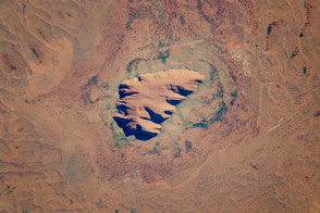
This ancient rock is one of Australia’s major tourist attractions and a sacred place for indigenous people.
Published Dec 19, 2016
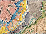
The Zagros Mountains in southwestern Iran present an impressive landscape of long linear ridges and valleys. Formed by collision of the Eurasian and Arabian tectonic plates, the ridges and valleys extend hundreds of kilometers. Stresses induced in the Earth’s crust by the collision caused extensive folding of the preexisting layered sedimentary rocks. Subsequent erosion removed softer rocks, such as mudstone and siltstone while leaving harder rocks, such as limestone and dolomite. This differential erosion formed the linear ridges of the Zagros Mountains. This astronaut photograph of the southwestern edge of the Zagros mountain belt includes another common feature of the region—a salt dome (Kuh-e-Namak or “mountain of salt” in Farsi).
Published Apr 17, 2006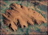
Linear dunes and ephemeral streams converge on the eastern margin of the Simpson Desert in a region known for its floods.
Published Sep 15, 2012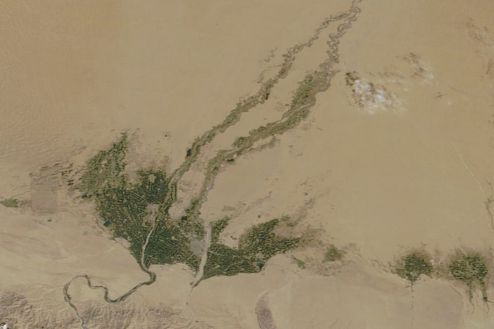
Even in China’s largest, driest, and hottest desert, vegetation sprouts in the spring.
Published May 5, 2020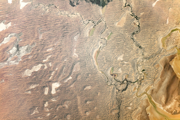
Fantastic dunes stand alongside one of the world’s largest internally draining river systems.
Published Sep 29, 2019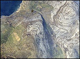
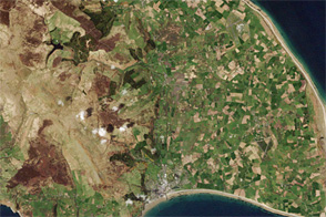
Adjoining Galway Bay to the north, the Burren Plateau (Burren is Gaelic for “stony place”) is an example of karst terrain. Karst terrain is generally formed when sedimentary rocks are dissolved by groundwater. This astronaut photograph illustrates the northwestern-most portion of the Burren Plateau, which is characterized by the distinctive bare exposures of almost horizontal, layered Paleozoic-age limestone rocks that form Gleninagh Mountain.
Published May 5, 2008alert message
