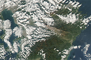
The Aqua satellite acquired this image of ash blowing southeast from Mount Aso on November 29, 2014.
Published Dec 3, 2014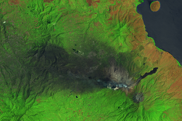
Eruptions in November 2024 sent volcanic material over the Indonesian island of Flores.
Published Nov 6, 2024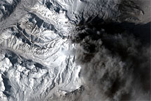
In contrast to the explosive eruptions of the previous week, ash emissions from Mount Redoubt became more frequent but confined to lower altitudes on March 30, 2009. The commercial satellite GeoEye-1 captured a high-resolution view of the volcano the same day.
Published Apr 1, 2009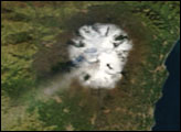
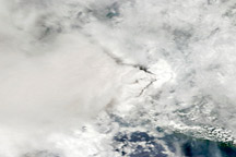
Signs of the eruption at Mount Merapi managed to punctuate the persistent cloud cover over Java on November 5, 2010.
Published Nov 6, 2010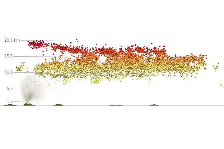
Explosive eruptions from the Caribbean volcano have flung ash and sulfate particles to the stratosphere.
Published Apr 15, 2021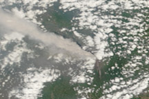
A thick plume of ash rose from Mount Merapi on November 10, 2010, when this photo-like image was taken. It is the most cloud-free image of the eruption to date.
Published Nov 11, 2010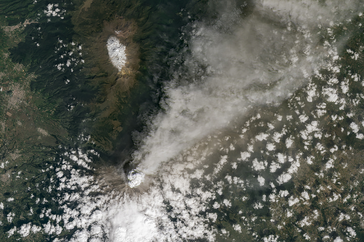
Ash billowed from the stratovolcano, which has been active since 2005.
Published Oct 28, 2024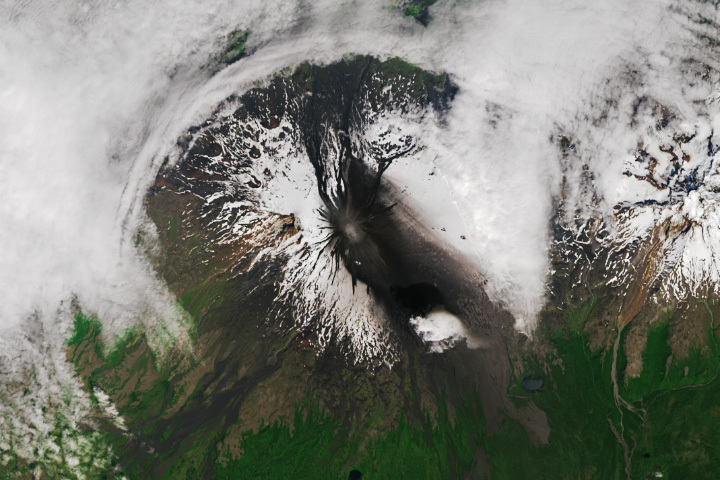
Ash from recent eruptions blackened the snow-covered flanks of the Alaskan volcano.
Published Jul 24, 2023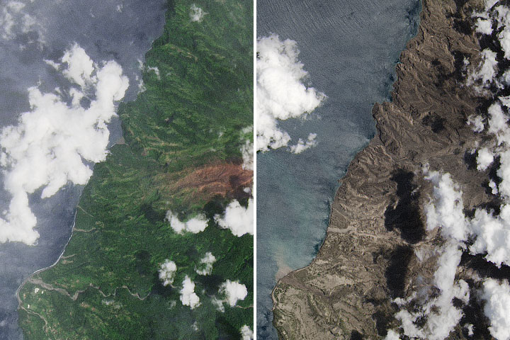
Following several explosive eruptions on the Caribbean island of Saint Vincent, volcanic ash poses myriad hazards in the air and on the ground.
Published Apr 28, 2021Image of the Day Atmosphere Land Volcanoes Human Presence Remote Sensing
alert message
