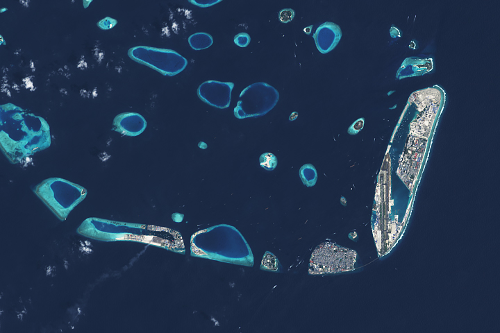
A new artificial island near Malé could be a destination for people trying to escape rising waters on lower-lying islands.
Published Apr 9, 2021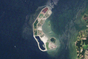
Poplar Island is rising back out of the Chesapeake...with a little help.
Published Jun 30, 2012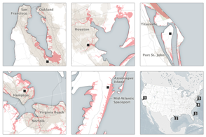
The nation’s problem is also NASA’s problem: Half to two-thirds of our space infrastructure and assets stand within 5 meters of sea level.
Published Sep 8, 2015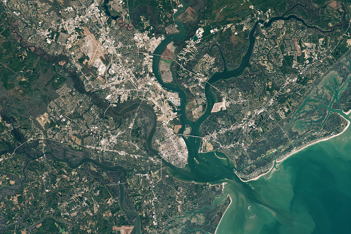
Sea level rise and new development are on a collision course in South Carolina lowcountry.
Published Jan 11, 2021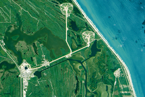
Global sea level rise poses very local challenges for the many NASA centers situated on U.S. coasts.
Published Sep 30, 2015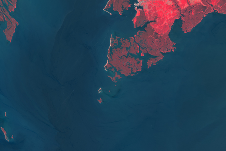
Rising waters are swallowing up another island in Chesapeake Bay.
Published Dec 2, 2019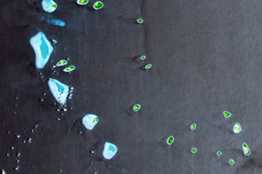
The Maldives rise just a few meters above the surrounding ocean.
Published Jan 15, 2017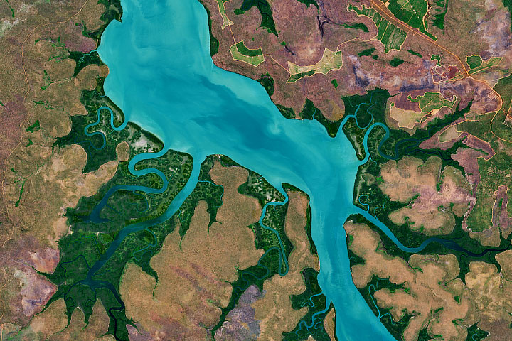
Myths about these Australian islands seem to provide an ancient explanation for sea level rise.
Published Dec 27, 2019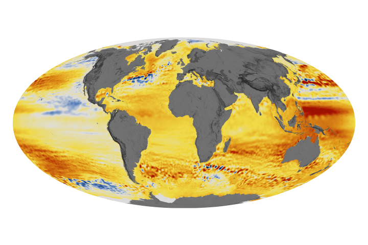
The acceleration has been driven mainly by increased ice melting in Greenland and Antarctica, and it has the potential to double the total sea level rise projected by 2100.
Published Feb 20, 2018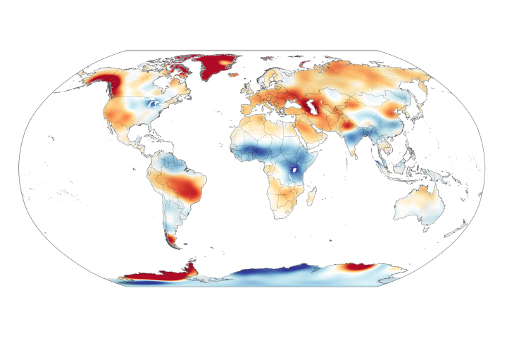
Scientists measure ice’s gravitational pull on a pair of satellites, allowing them to estimate ice loss and its contribution to sea level rise.
Published Nov 5, 2020alert message
