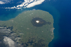
This protected area on North Island is centered around a volcano and sits on a promontory that juts out into the Tasman Sea.
Published Oct 13, 2014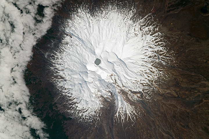
A lake at the summit of the volcano provides the main clues to what is happening below.
Published Sep 18, 2022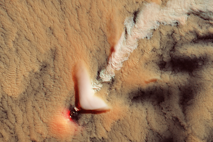
The nearly 1,000-meter-tall volcano in the South Sandwich Islands frequently finds a way to put on a show.
Published Dec 4, 2021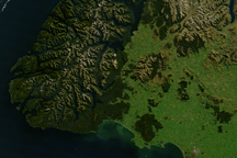
From space, the southwest coast of New Zealand resembles the greenstone for which it is named. This cloud-free satellite image is from April 9, 2010.
Published May 22, 2010
Since the mid-1200s, the state has controlled Niepołomice Forest, which contains some of the last pockets of old-growth forest in Poland.
Published Nov 29, 2013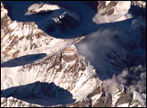
Over the years, astronauts have used various viewing angles and lenses to capture the many faces of Everest. Differing seasons and illumination allow for very different, but always spectacular perspectives. The astronauts on the International Space Station obtained this view of Mt. Everest in late November 2003.
Published Dec 29, 2003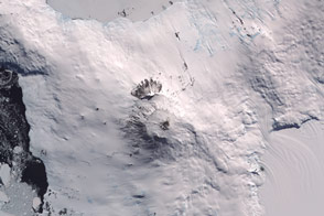
The southernmost active volcano in the world has a molten lava lake at its core.
Published Feb 5, 2016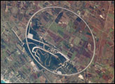
The Nardò Ring is a striking visual feature from space, and astronauts have photographed it several times. The Ring is a race car test track; it is 12.5 kilometers long and steeply banked to reduce the amount of active steering needed by drivers. Although it is a perfect circle, it appears oval in this photograph. This distortion is because the astronaut’s viewing angle was 35 degrees, looking back along the orbit track to the southwest from the International Space Station’s window.
Published Sep 10, 2007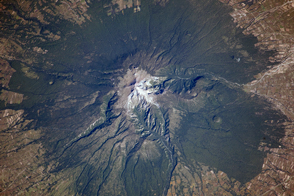
Though there are no historical accounts, geologic evidence suggests an eruption about 3,100 years ago affected Pre-Columbian settlements in Mexico.
Published Nov 25, 2013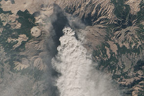
Landsat 8 observed a thick plume of ash from the Japanese volcano on January 13, 2015.
Published Jan 18, 2015alert message
