The international Surface Water and Ocean Topography (SWOT) mission will measure the height of freshwater bodies and the ocean on more than 90 percent of Earth’s surface.
Published Dec 17, 2022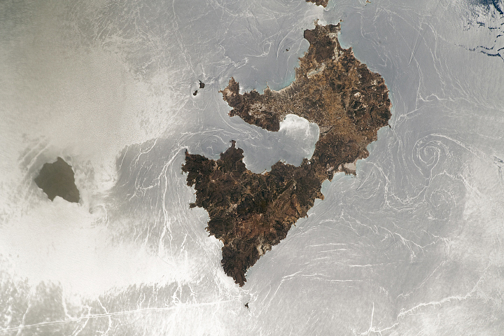
The play of sunlight on the water surface illuminates water phenomena around some Greek islands.
Published Sep 12, 2022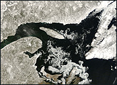
Located in eastern Canada, the Gulf of St. Lawrence owes many of its unique characteristics to its geography. Sea water flows into and out of the gulf through only two channels. Currents and tides sweep cold, Arctic seawater through the narrow Strait of Belle Isle in the north. In the south, the wider Cabot Strait admits warmer water from the Atlantic Gulf Stream. With no other outlet to the Atlantic, the Gulf of St. Lawrence is relatively isolated.
Published Apr 12, 2008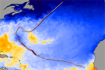
On land, the passage of a severe storm might be marked by fallen trees or swollen streams. In the ocean, a hurricane leaves a swath of cold water in its path. That trail of cold water marks the passage of Hurricane Bertha through the North Atlantic Ocean in this sea surface temperature image.
Published Jul 26, 2008
An arid region grew even drier between 2003 and 2009 due to human consumption of water for drinking and agriculture.
Published Mar 13, 2013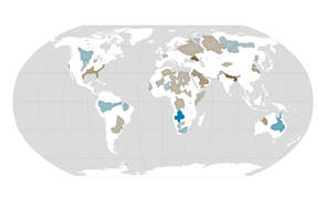
About one third of Earth’s large groundwater basins are being rapidly depleted by human consumption even though we have little accurate data about how much water remains in them.
Published Jul 24, 2015
Natural vegetation and irrigated farmland along the Snake River Plain in Idaho use dramatically different amounts of water during the growing season.
Published Jan 26, 2010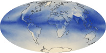
The tiny amount of water vapor in our atmosphere has an outsized influence on the planet as a potent greenhouse gas.
Published Oct 7, 2010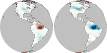
In much of the world, differences in seasonal precipitation—and in how that water gets stored on land—are big enough to affect Earth’s gravity field.
Published Oct 22, 2010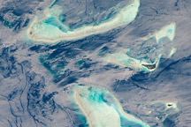
This detailed astronaut photograph features surface currents illuminated by mirror-like reflections of sunlight off the waters around the Malée Atoll in the Maldive Islands.
Published Mar 1, 2010alert message
