A fast-moving storm dropped a heavy dose of winter—and even a tornado—on the region.
Published Dec 31, 2019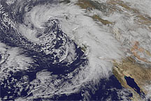
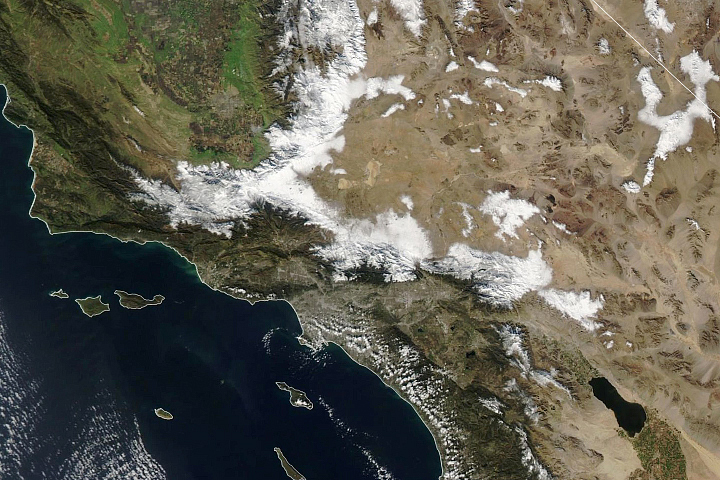
Acquired January 19, 2010, this image shows three cloud banks on their eastward path over California. One is over the ocean, one hovers over the coast, and one has traveled inland.
Published Jan 22, 2010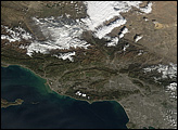
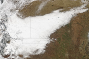
A strip of white defines the path of a deadly winter storm across New Mexico, Texas, Oklahoma, Colorado, and Kansas in this satellite image from December 21, 2011.
Published Dec 23, 2011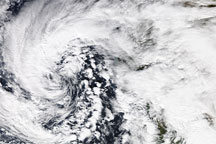
Acquired January 20, 2010, this true-color image shows an apostrophe-shaped storm, looking slightly like a hurricane without most of its center, over the California coast. Isolated areas of clear sky show the Central Valley and Baja Peninsula.
Published Jan 21, 2010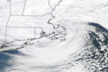
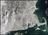
The storm that hammered New England on January 12, 2011, is a classic, comma shaped Nor’easter, as shown in this photo-like image.
Published Jan 13, 2011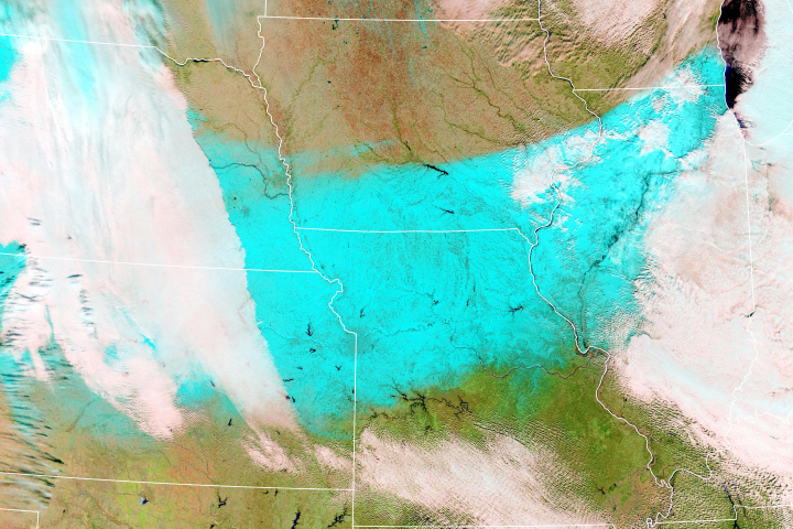
A November blizzard snarled transportation and disrupted power across a wide area.
Published Nov 28, 2018
alert message
