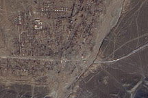
Acquired March 21, 2010, a true-color, high-resolution image shows the settlement of Kyzylagash and its surroundings. On either side of the waterway, two tiny white strips along the highway suggest a destroyed bridge. Rugged mountains, partially covered with snow, push up against Kyzylagash.
Published Mar 22, 2010
The pit near Phalaborwa and Kruger National Park is the most visible sign of a long history of mining in the region.
Published Jul 30, 2019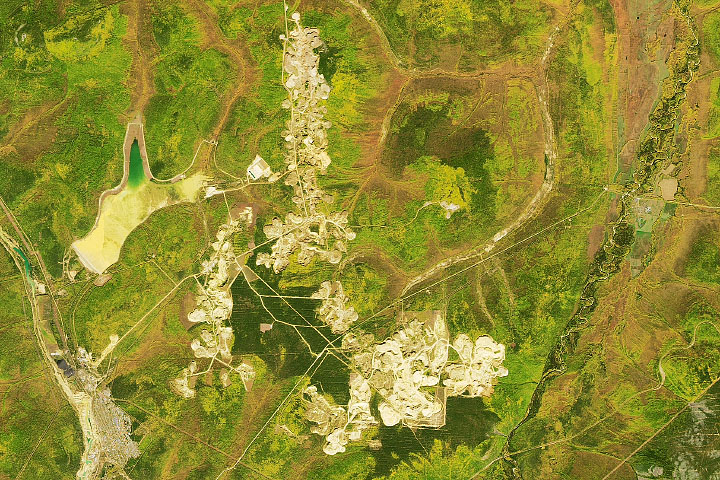
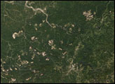
In places where concentrations of the precious metal have been discovered, mining operations are large enough to be seen from space.
Published Jan 30, 2021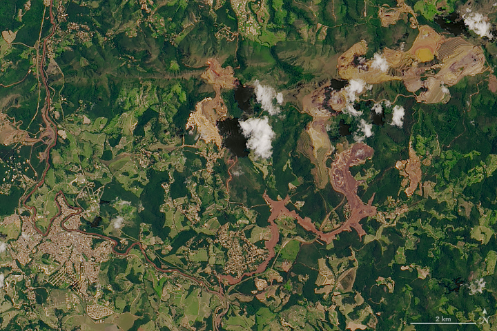
A torrent of waste sludge from an iron mine has devastated a small town in Minas Gerais.
Published Feb 1, 2019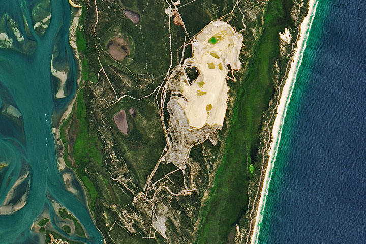
After seven decades, sand mining operations have stopped in Australia’s North Stradbroke Island.
Published May 7, 2020
Mountaintop removal mining dramatically changes the topography across thousands of acres. Mountaintop removal mining alters this topography by reducing the elevation of the ridge lines, flattening out the steep slopes, and also by filling in hollows and stream beds with the excess rock and dirt that once topped the mountains.
Published Dec 28, 2007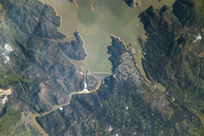
The International Space Station got a view of the overflowing dam.
Published Mar 3, 2017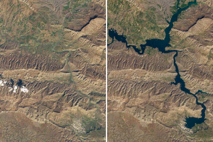
The 12,000-year old town of Hasankeyf could soon be underwater due to the construction of a new dam.
Published Mar 17, 2020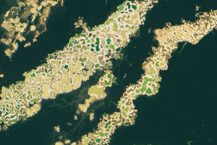
Researchers have created a satellite-based tool to help officials identify new activity.
Published Jun 16, 2021alert message
