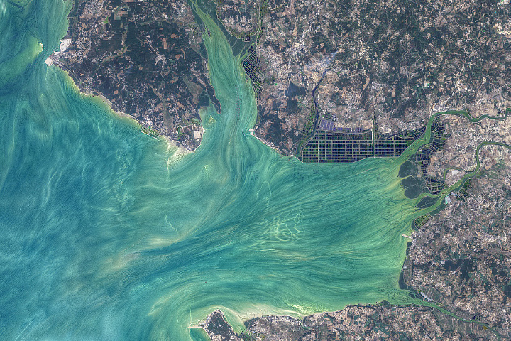
Tides, currents, and human activity combine to produce art-like patterns in the waters off China’s southern province of Guangdong.
Published Mar 20, 2021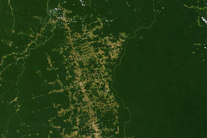
Decades of satellite data make it possible to map how deforestation has evolved over time.
Published Nov 21, 2019
The opening of the Landsat data archive and a partnership with Google has allowed researchers to track the fine details of forest change around the world.
Published May 7, 2015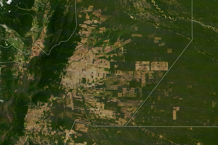
South America’s second-largest forest has been experiencing rapid tree losses in recent decades.
Published May 20, 2020
This series of maps shows how much the landscape of the eastern United States changed between 1650 and 1992. The maps depict canopy height, the height of the tallest continuous layer of vegetation.
Published Feb 2, 2008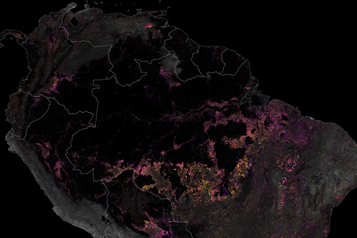
Satellites have played a key role in monitoring and reducing the rate of deforestation in the rainforest.
Published Dec 19, 2019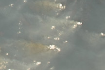
In 2007, the Amazon fire season was the worst of this decade. This pair of images shows deforestation and the smoke from intense fires in the 2007 dry season in northwest Rondônia, Brazil.
Published May 28, 2009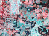
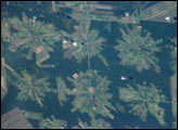
The area east of Santa Cruz was originally dry tropical forest.
Published May 27, 2001alert message
