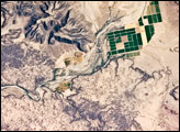
This detailed astronaut photograph depicts a portion of the Gila River channel in south-central Arizona. The northernmost boundary of the Sentinel Volcanic Field is visible in the image, recognizable by the irregular flow fronts of thin basalt lava flows. Active agricultural fields along the Gila River are a rich green set against the surrounding desert.
Published Jul 28, 2008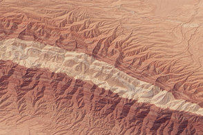
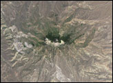
The “Mountain of Sulfur” rises from the desert in north-central Iran.
Published Sep 26, 2015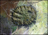
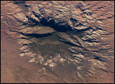
The Colorado Plateau of Arizona, Colorado, New Mexico, and Utah is made of mostly flat-lying layers of sedimentary rock that record paleoclimate extremes ranging from oceans to widespread deserts over the last 1.8 billion years. Navajo Mountain in southeastern Utah is a dome-shaped chunk of igneous rock that intruded into the sedimentary layers and lifted up the overlying layer. Navajo Mountain is one of several of these rock formations, called laccolith by geologists, in southeastern Utah’s portion of the Plateau. This oblique (from-the-side) astronaut photograph highlights Navajo Mountain in the center of the image, surrounded by light red-brown Navajo Sandstone (also visible in the canyon at bottom of the image). The igneous rock at the core of the mountain is wrapped in sedimentary layers. The peak of Navajo Mountain, at approximately 3,148 meters (10,388 feet) elevation, is comprised of uplifted Dakota Sandstone deposited during the Cretaceous Period (approximately 66-138 million years ago).
Published Oct 31, 2005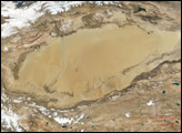
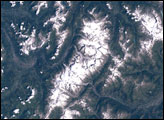
The Taklimakan Desert in northwest China is a vast region of sand desert sitting in a depression between two high, rugged mountain ranges. Rolling sand dunes stretch out over several hundred thousand square miles in the Xinjiang Region of China.
Published Dec 3, 2001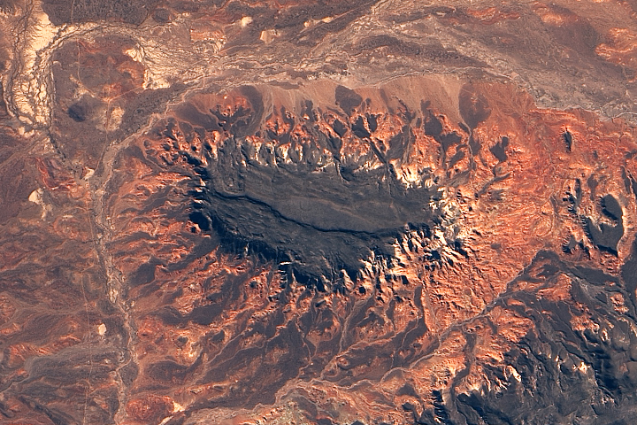
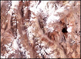
Erosion has produced a striking landscape east of the Andes Mountains in Chubut Province.
Published Nov 27, 2018
alert message
