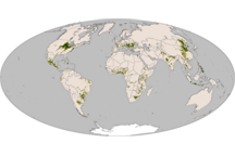
Native to America, corn is now a staple in diets around the world. This map shows the global distribution of corn in 2000.
Published Nov 25, 2010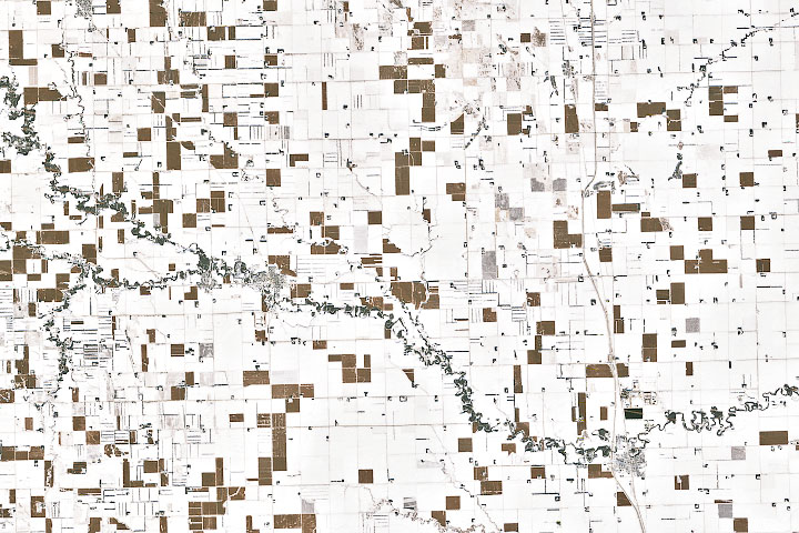
In the wake of a potent winter storm in late November in the U.S. Midwest, an unusual pattern turned up in satellite imagery.
Published Dec 6, 2019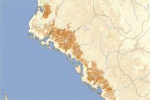
This vegetation image shows extensive damage to crops in Sinaloa, Mexico, following a cold snap in February 2011.
Published Mar 23, 2011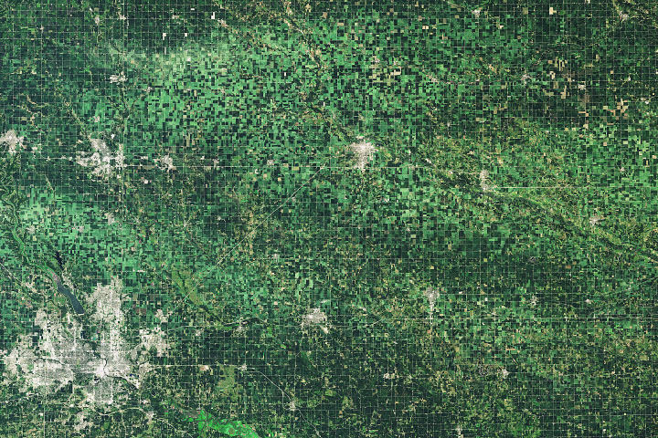
A line of thunderstorms with hurricane-force winds caused widespread damage to crops.
Published Aug 20, 2020Image of the Day Atmosphere Land Life Severe Storms Human Presence
This pair of natural-color (photo-like) images from the Moderate Resolution Imaging Spectroradiometer (MODIS) on NASA’s Terra satellite contrasts 2009 conditions in southern Buenos Aires province with the conditions in 2008, a more normal year.
Published Feb 24, 2009
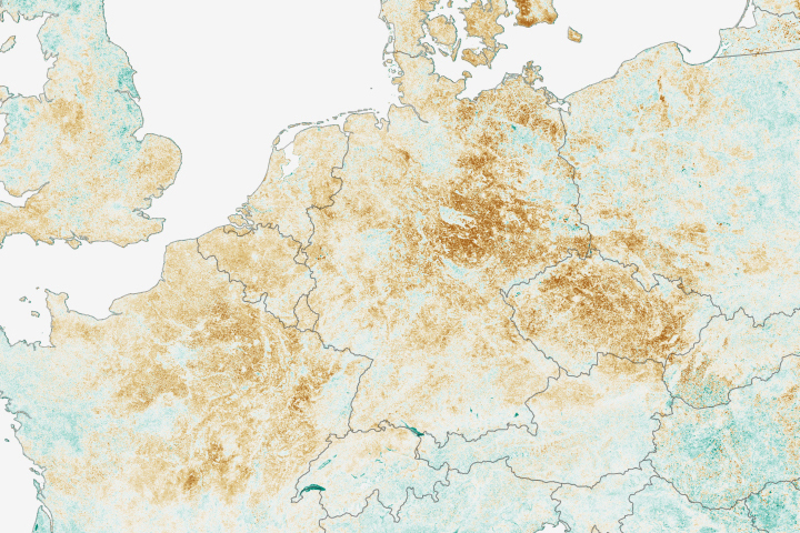
Economists are using satellite data to help make more accurate price predictions of important crops.
Published Sep 20, 2018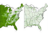
A series of maps showing land use in 1850 and 1920.
Published Feb 9, 2008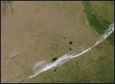
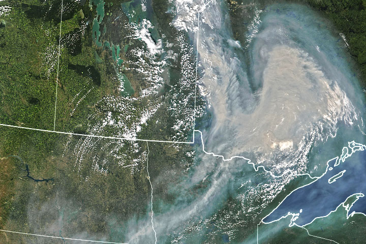
Smoke from Ontario, Canada, has blown south into the United States.
Published Jul 12, 2021alert message
