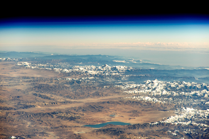
The peaks of these mountains are a dramatic expression of massive tectonic forces pushing continents together.
Published Dec 9, 2018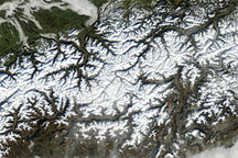
Acquired January 17, 2011, this natural-color image provides an uninterrupted view of the Alps.
Published Jan 23, 2011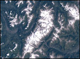
Once clouds have cleared away, the effects of major storms often can be viewed from space for days and weeks.
Published Oct 31, 2016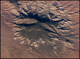
The Colorado Plateau of Arizona, Colorado, New Mexico, and Utah is made of mostly flat-lying layers of sedimentary rock that record paleoclimate extremes ranging from oceans to widespread deserts over the last 1.8 billion years. Navajo Mountain in southeastern Utah is a dome-shaped chunk of igneous rock that intruded into the sedimentary layers and lifted up the overlying layer. Navajo Mountain is one of several of these rock formations, called laccolith by geologists, in southeastern Utah’s portion of the Plateau. This oblique (from-the-side) astronaut photograph highlights Navajo Mountain in the center of the image, surrounded by light red-brown Navajo Sandstone (also visible in the canyon at bottom of the image). The igneous rock at the core of the mountain is wrapped in sedimentary layers. The peak of Navajo Mountain, at approximately 3,148 meters (10,388 feet) elevation, is comprised of uplifted Dakota Sandstone deposited during the Cretaceous Period (approximately 66-138 million years ago).
Published Oct 31, 2005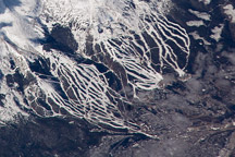
Snow-covered ski runs at Copper Mountain and Breckenridge stand out from darker forests of the Tenmile Mountain Range in this astronaut image from October 24, 2008.
Published Dec 29, 2008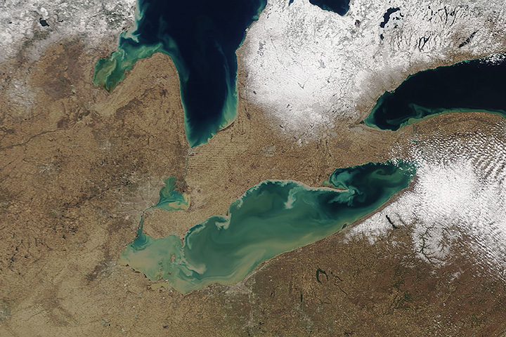
After a heavy snowfall in April, muddy rivers and streams are turning Lake Erie brown.
Published Apr 28, 2018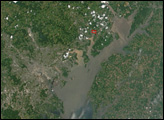
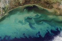
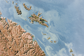
Tan and green clouds of sediment clouded the Gulf of Mexico on November 10, 2009.
Published Nov 13, 2009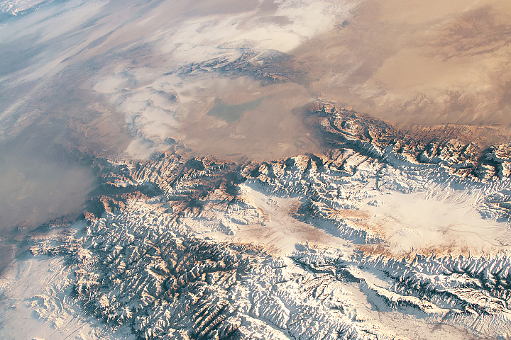
Spring melting of snow and ice in the Tien Shan offers an essential source of fresh water in an otherwise dry region.
Published Mar 31, 2019alert message
