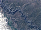
This natural-color image of Hells Canyon was captured by NASA’s Landsat-7 satellite on September 19, 2002. The image shows the northern part of the canyon, where the Imnaha River joins the Snake River.
Published Mar 8, 2009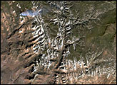

The geology of the Grand Canyon has amazed visitors since John Wesley Powell first navigated the Colorado River in 1869. Now the Landsat Data Continuity Mission (LDCM) offers a new view of the gorge.
Published Apr 20, 2013
Parts of the Glen Canyon that John Wesley Powell explored in 1869 have been submerged by Lake Powell.
Published Oct 16, 2016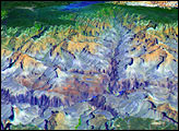
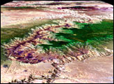
Black Canyon of the Gunnison National Park is a small park that encompasses the steep-walled canyons of the Gunnison River, which drains snowmelt from the Rocky Mountains in western Colorado.
Published Oct 2, 2005
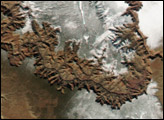
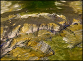
A river in Peru has sculpted one of the deepest canyons in the world.
Published Feb 7, 2018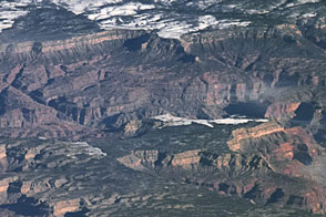
Grand Canyon National Park spans 277 river miles and often stretches 10 miles wide. But the true wonder arises from its depth...or height, depending on where you stand.
Published Apr 24, 2016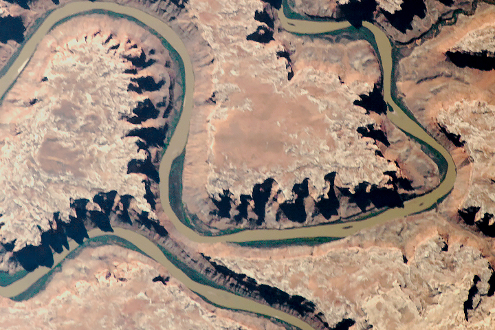
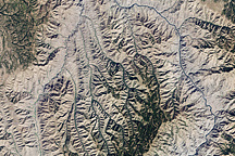
The old river has cut compelling patterns and formations into the red rocks of Utah.
Published Sep 18, 2018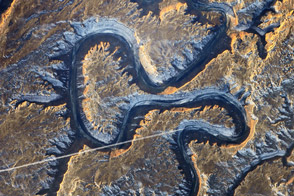
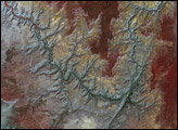
The Green River in eastern Utah once carved soft sediment into meanders on a floodplain. Then the land and mountains rose and the river dug deep, preserving those meanders in stone.
Published Mar 17, 2014