The TIRS instrument on the new Landsat Data Continuity Mission satellite helps scientists pinpoint fine differences in temperature.
Published May 7, 2013Image of the Day Atmosphere Heat Land Volcanoes Temperature Extremes
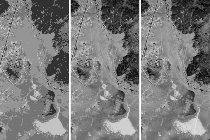
The Thermal Infrared Sensor on the newest Landsat provides insight into something invisible to human eyes: the temperature of the land surface.
Published Apr 18, 2013Image of the Day Heat Drought Human Presence Temperature Extremes
LDCM extends an unprecedented four-decade record of global land observations.
Published Feb 12, 2013
When the Landsat archive is combined with modern computing power, scientists can view the planet not just across space, but also time.
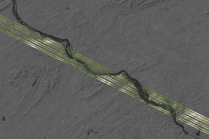
Published Jun 11, 2013Image of the Day Land Unique Imagery Human Presence Remote Sensing
Being able to see traces of human history in satellite imagery is dependent on what details can be resolved on a given image. There are four main types of image resolution.
Published Oct 4, 2017
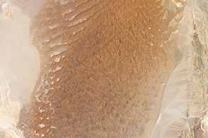
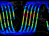
For five out of seven years studied, the Lut Desert in Iran sweltered like no other place on the planet.
Published Apr 12, 2012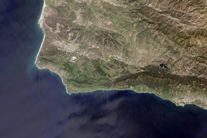
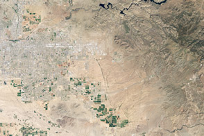
The new Landsat Data Continuity Mission satellite captured a glimpse of Vandenberg Air Force Base and the central California coast. Vandenberg has been the launch site for a majority of U.S. Earth science research missions.
Published Apr 11, 2013Image of the Day Land Water Unique Imagery Human Presence Remote Sensing
Spaceborne laser observations show fine details of forests and land topography.
Published Apr 15, 2019
Plane-mounted radar and other instruments are studying the shrinking and growing wetlands along the Gulf Coast.
Published Jun 25, 2015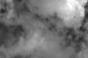
Earth science satellites are designed to study our home planet’s surface and atmosphere, but occasionally they capture views of other objects in low-Earth orbit such as satellites, the International Space Station, and rocket debris.
Published Jun 29, 2016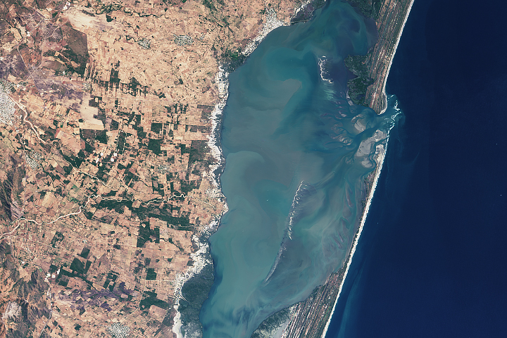
The satellite measures more than just polar ice; it also makes detailed elevation measurements over the planet’s tropical and temperate latitudes.
Published Jan 29, 2019