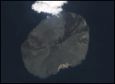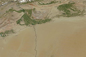
The Uvs Nuur Basin sits on the northern edge of the Central Asian steppes, bounded on all sides by mountains. Though largely arid, the basin is dotted with water. A large salt lake, the Uvs Nuur Lake, sits at the center of the basin, and several smaller lakes are scattered across the 600 kilometers east to west and 120 kilometers north to south that make up the basin. Rivers, the largest of which is the Tes-Khem River, run from the surrounding mountains into the basin, but no rivers flow out of the basin, making it an enclosed basin. This image shows one of the smaller lakes near the western edge of the basin.
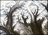
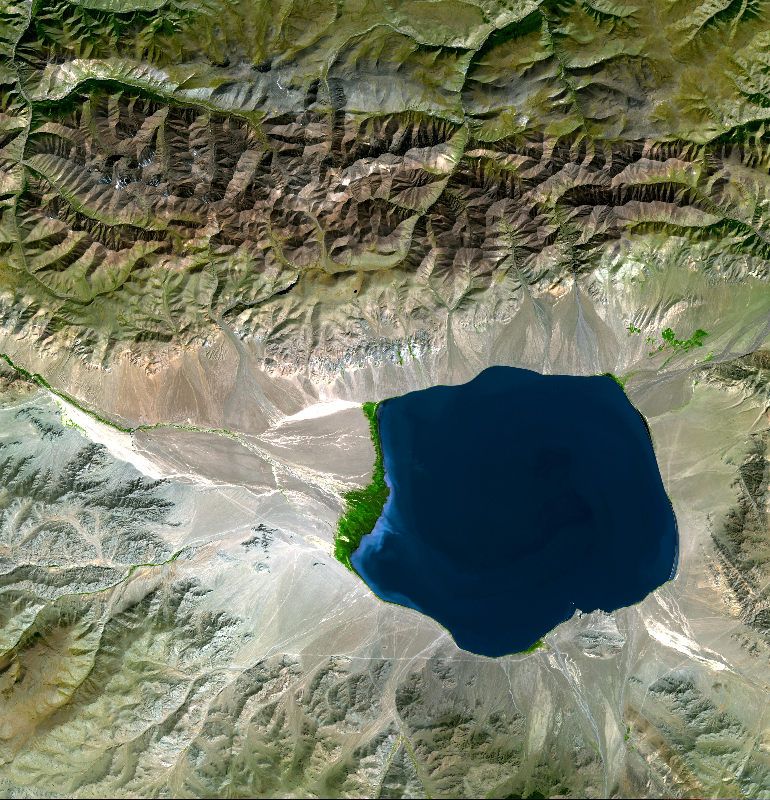
The sapphire waters are nestled against the southern face of the Tannu Ola Range, which forms the northern edge of the Uvs Nuur Basin. The angle of the Sun on the mountains’ steep peaks and ridgelines creates sharp lines and angles that color the rocky landscape shadowy black to pale tan. The mountains block moist air from the north, leaving the entire Uvs Nuur basin drier than the land on the north side of the range. This rainshadow effect is evident even in the small area shown in this image. The northern side of the Tannu Ola Range is much greener than the tan desert landscape to the south. The mountains also form a boundary between the taiga (evergreen forests) of southern Siberia and the deserts and steppes (grasslands) of Central Asia.
Since little rain falls in the basin, the most vibrant green in this image comes from the wetlands that surround rivers flowing into the small lake. A web of bright green lines the river that flows in from the west, culminating at a broad green delta. Other wetlands cluster around rivers on the northeast and southern sides of the lake. Possibly the most striking feature of this image, the wetlands are an important wildlife habitat. Streaks of white running across the desert are likely seasonal streams that flow when snow melts off the mountains in the spring. The Advanced Spaceborne Thermal Emission and Reflection Radiometer (ASTER), flying on NASA’s Terra satellite, captured this image in the late summer on September 4, 2001.
Far from a moderating ocean, the Uvs Nuur Basin has an extreme climate with temperatures that swing from a low of -58 degrees Celsius (-72 Fahrenheit) during the winter up to 40 Celsius (104 Fahrenheit) in the summer. Containing a number of ecosystems in its fresh and salt water lakes, deserts, mountains, grasslands, and forests, the basin provides an important habitat for a variety of animals ranging from the endangered snow leopard to the white-tailed sea eagle. Because of its diversity and the relatively low amount of human impact on the area, the basin is a United Nations World Heritage Site.
NASA image provided courtesy of NASA/GSFC/METI/ERSDAC/JAROS, and the U.S./Japan ASTER Science Team.