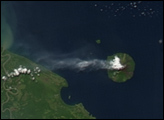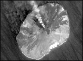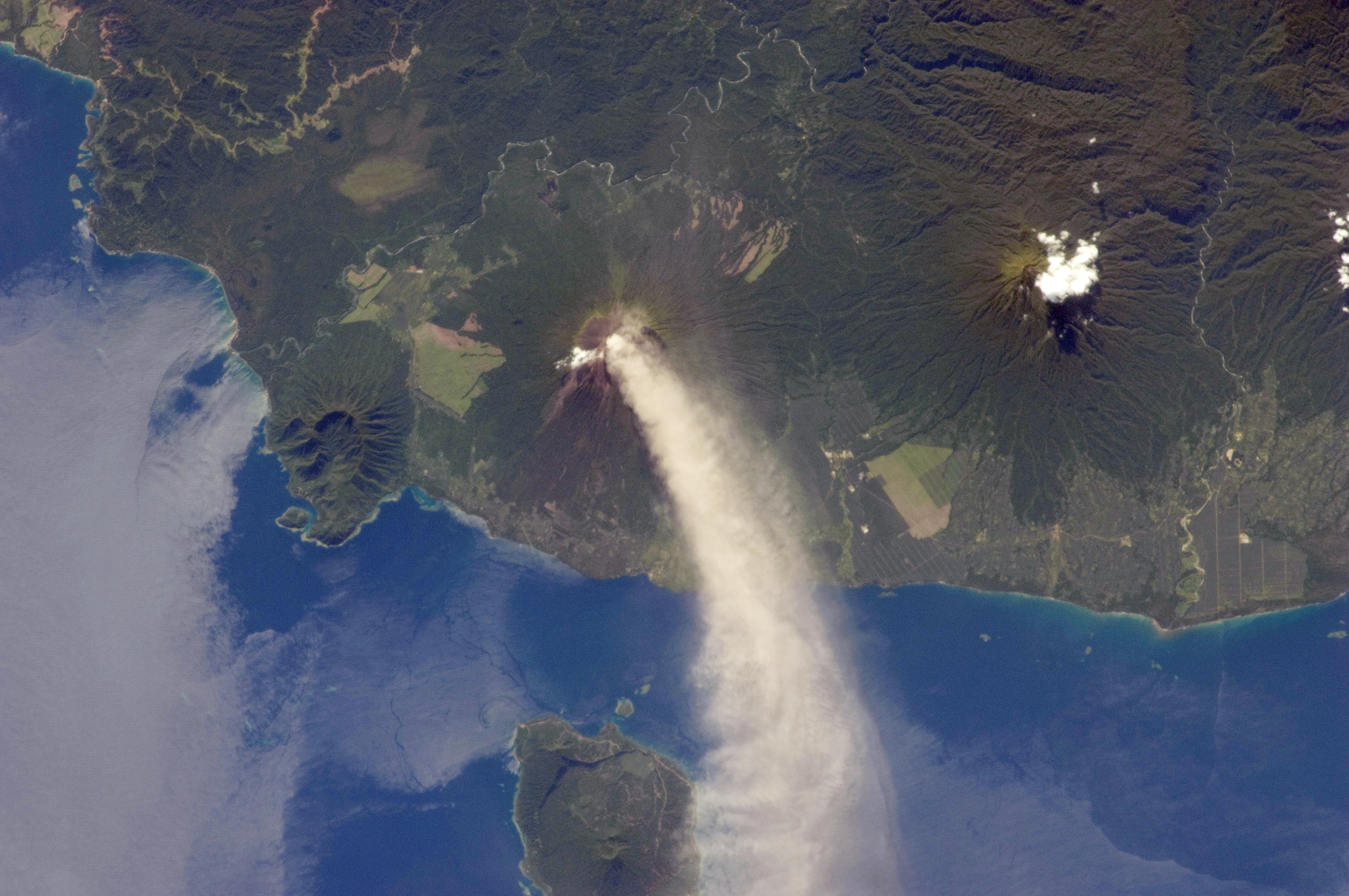
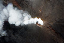
Numerous volcanoes contribute to the landmass of the island of New Britain, the largest in the Bismarck Archipelago of Papua New Guinea. One of the most active of these volcanoes—Ulawun—is also the tallest, with a summit elevation of 2,334 meters (7,657 feet).
This astronaut photograph was taken during the most recent phase of volcanic activity at Ulawun. A plume of white steam and ash extends from the summit crater of the stratovolcano towards the northwest. The plume begins to broaden as it passes the southwestern coast of Lolobau Island, approximately 23 kilometers downwind. Note that the image is oriented such that north is towards the lower left.
Ulawun is also known as “the Father,” with the Bamus volcano to the southwest also known as “the South Son.” The summit of Bamus is obscured by white cumulus clouds (not of volcanic origin) in this image. While Ulawun has been active since at least 1700, the most recent activity at Bamus occurred in the late 19th century. A large region of ocean surface highlighted by sunglint—sunlight reflecting off the water surface—is visible to the north-northeast of Ulawun.
Astronaut photograph ISS034-E-5496 was acquired on November 30, 2012, with a Nikon D2Xs digital camera using a 180 millimeter lens, and is provided by the ISS Crew Earth Observations experiment and Image Science & Analysis Laboratory, Johnson Space Center. The image was taken by the Expedition 34 crew. It has been cropped and enhanced to improve contrast, and lens artifacts have been removed. The International Space Station Program supports the laboratory as part of the ISS National Lab to help astronauts take pictures of Earth that will be of the greatest value to scientists and the public, and to make those images freely available on the Internet. Additional images taken by astronauts and cosmonauts can be viewed at the NASA/JSC Gateway to Astronaut Photography of Earth. Caption by William L. Stefanov, Jacobs/ESCG at NASA-JSC.
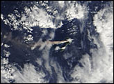
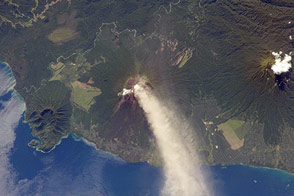
Ulawun Volcano on the island of New Britain released a small plume in early June 2010.
alert message