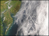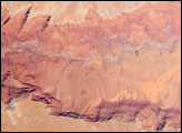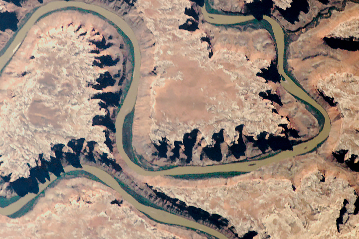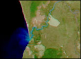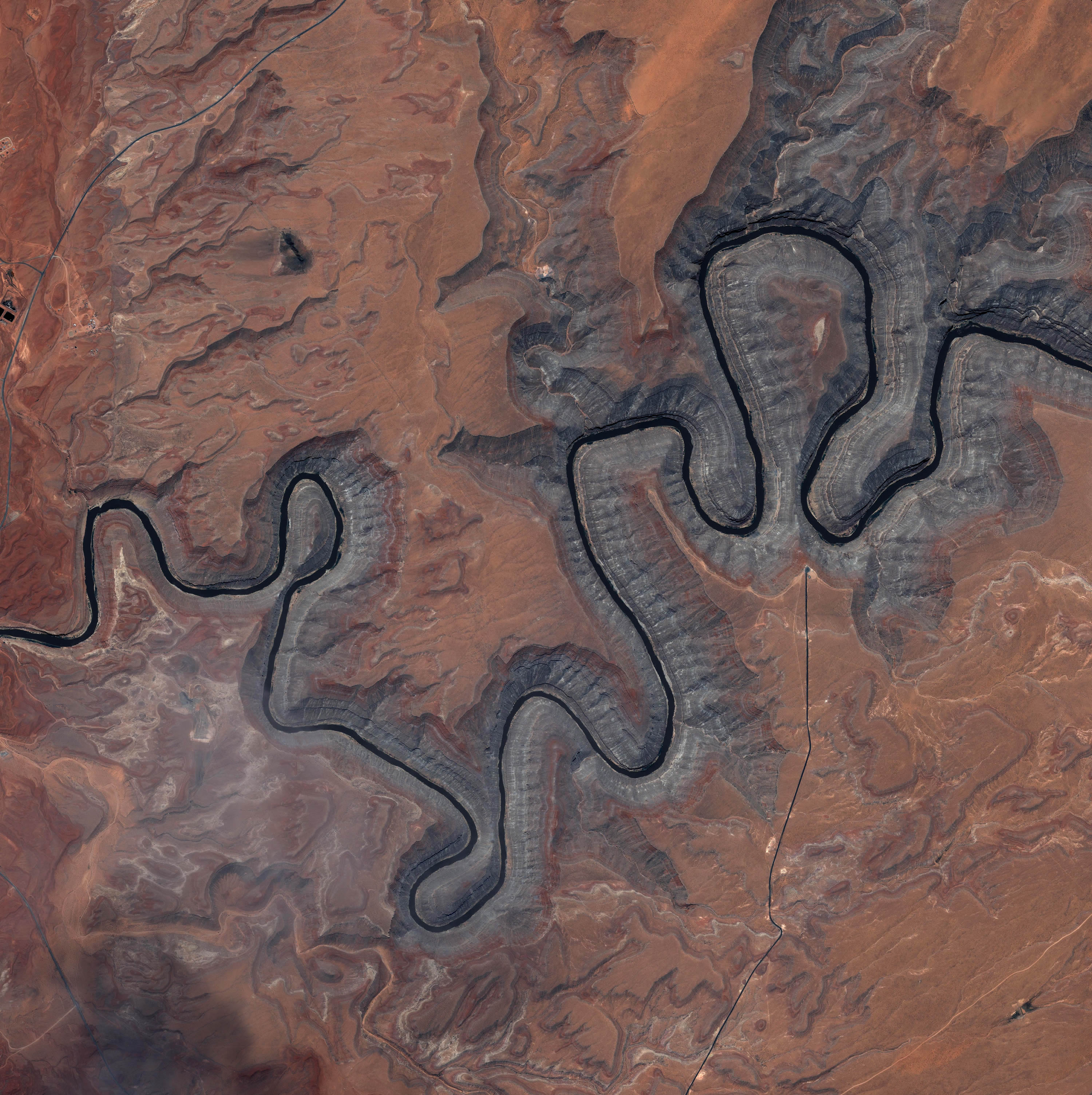
The sinuous black ribbon of the San Juan River cuts deep into the sandstone-pink landscape of southeastern Utah in this Ikonos image, taken on May 9, 2004. The image shows Goosenecks State Park, where the river is surrounded by canyon walls more than 1,000 feet high. Light gray, pink, and white striations (parallel lines) on the canyon walls mark where the river has eaten away at the ancient landscape to reveal 16 layers of geology, the oldest of which is well over 300 million years old.
The ancient San Juan River flows out of the San Juan Mountains in southwestern Colorado. Early in its history, the river flowed over a flat landscape where swirling water wandered freely in ever-changing loops. Over time, the river wore away at the earth, cutting the deep canyons seen here, until its course was fixed into a groove. At the same time, the land of southern Utah and northern Arizona was being pushed up, making the groove even deeper. The result—the chasms of Goosenecks State Park—is one of the best examples of an entrenched river meander in the world.
Image copyright DigitalGlobe
© All Rights Reserved: Use of IKONOS, GeoEye, QuickBird and WorldView imagery must be coordinated with Maxar.