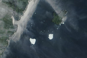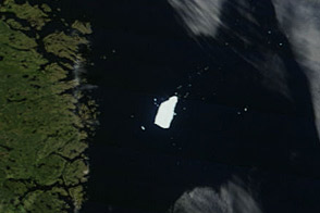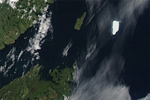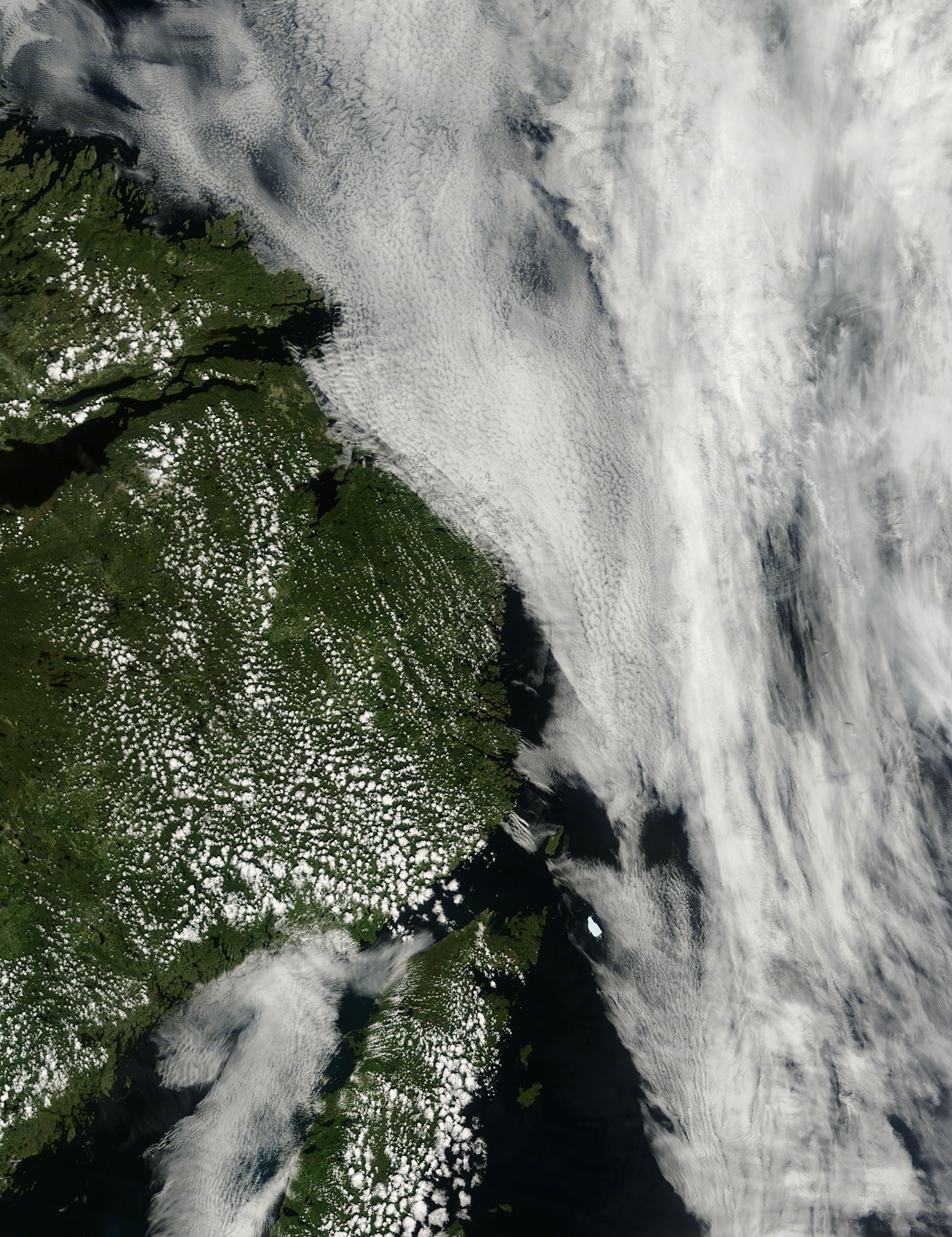
At the beginning of August 2011, the Petermann Ice Island-A (PII-A) was roughly 25 kilometers (15 miles) off the northeastern tip of Newfoundland, having drifted south of its position east of Belle Island just days earlier.
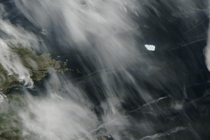
The Moderate Resolution Imaging Spectroradiometer (MODIS) on NASA’s Terra satellite captured this natural-color image on August 1, 2011. As it had days earlier, PII-A appears to shed blocks of ice, this time mostly off its southeastern edge.
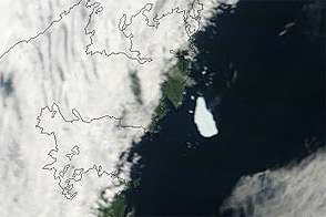
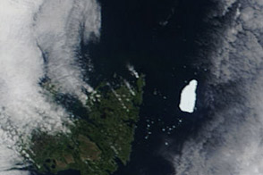
Calving and melting slowly ate away at the ice island as the summer of 2011 progressed. As of July 27, 2011, the Canadian Ice Service reported, PII-A had a surface area of about 50 square kilometers (19 square miles). This was somewhat reduced from its surface area on July 8, of roughly 55 square kilometers (21 square miles).
NASA image courtesy Jeff Schmaltz, MODIS Rapid Response, NASA Goddard Space Flight Center. Caption by Michon Scott.