
By early September 2010, tens of thousands of residents of southern Mexico had fled their homes while tens of thousands more slept on their rooftops refusing to leave. Torrential rains hit the states of Veracruz, Oaxaca, and Tabasco the hardest, affecting some 900,000 people in various ways, according to news reports. Heavy rains compelled authorities to release water from four dams that had reached capacity, causing rivers in the region to overflow.
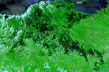
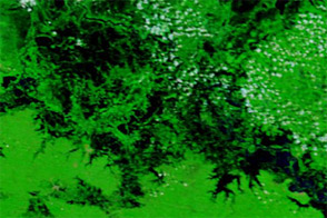
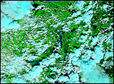
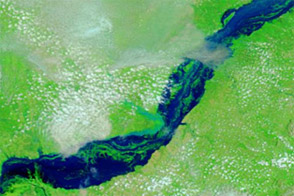
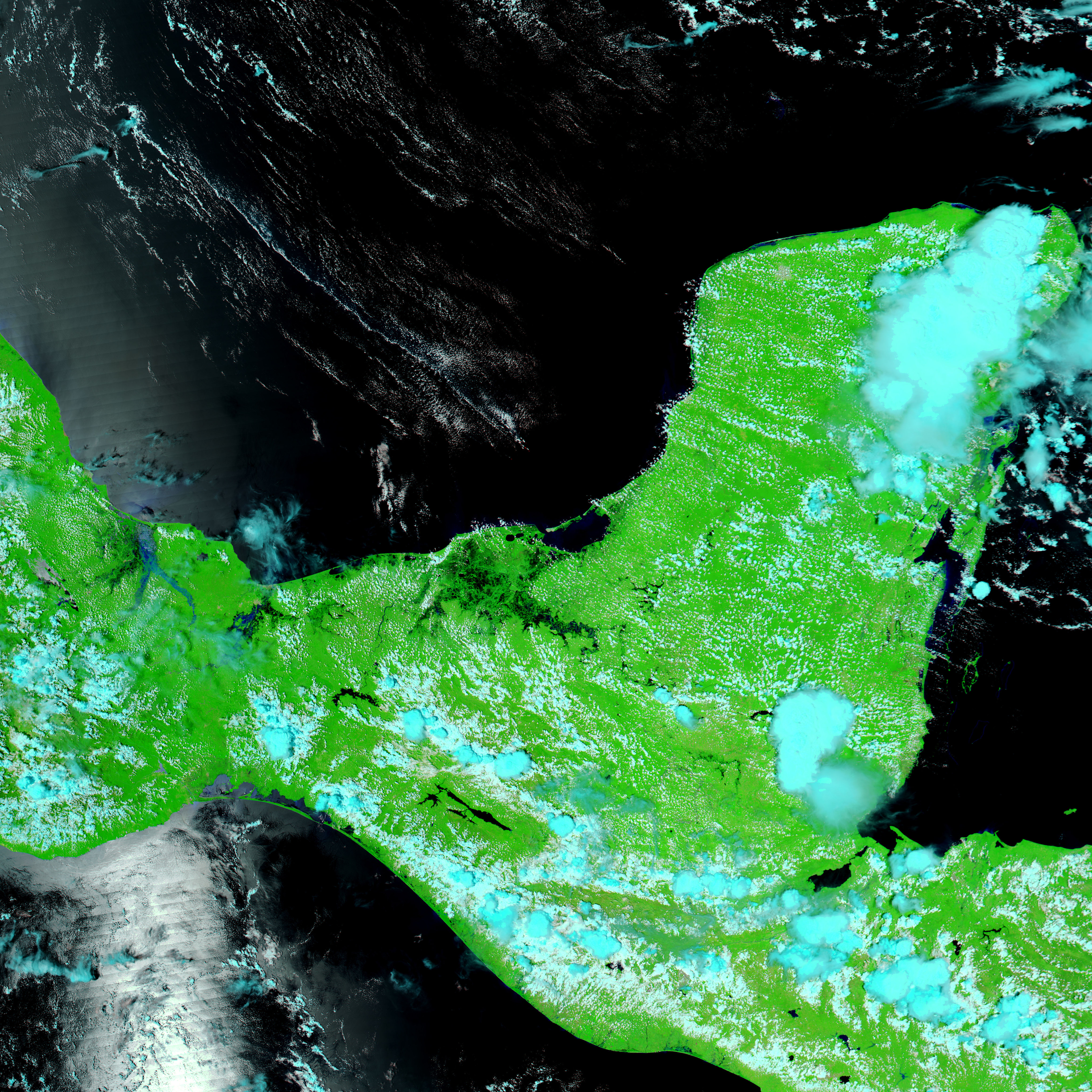
The Moderate Resolution Imaging Spectroradiometer (MODIS) on NASA’s Aqua satellite captured these images on September 8, 2010 (top), and September 9, 2009 (bottom). Both images use a combination of infrared and visible light to increase the contrast between water and land. Clouds appear in varying shades of light blue-green, and vegetation appears bright green. Water varies in color from electric blue to navy, and differences in the shade of blue probably result from the angle of sunlight.
The Usumacinta River flows through a network of lakes, ponds, and wetlands in southeastern Mexico. In the image from 2009, the river appears as a thin water body meandering toward Bahía de Campeche. In the image from 2010, the river has pushed over its banks in many locations, and standing water appears next to the river south of the bay.
Agence France-Presse described the heavy rains striking southern Mexico and Guatemala in the summer of 2010 as the worst in living memory, and reported that the death toll had risen to 50 as of September 8.
NASA images courtesy MODIS Rapid Response Team at NASA GSFC. Caption by Michon Scott.
alert message