November 1, 2009JPEG
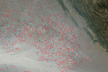
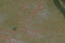
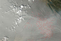
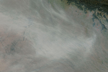
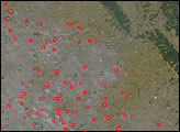
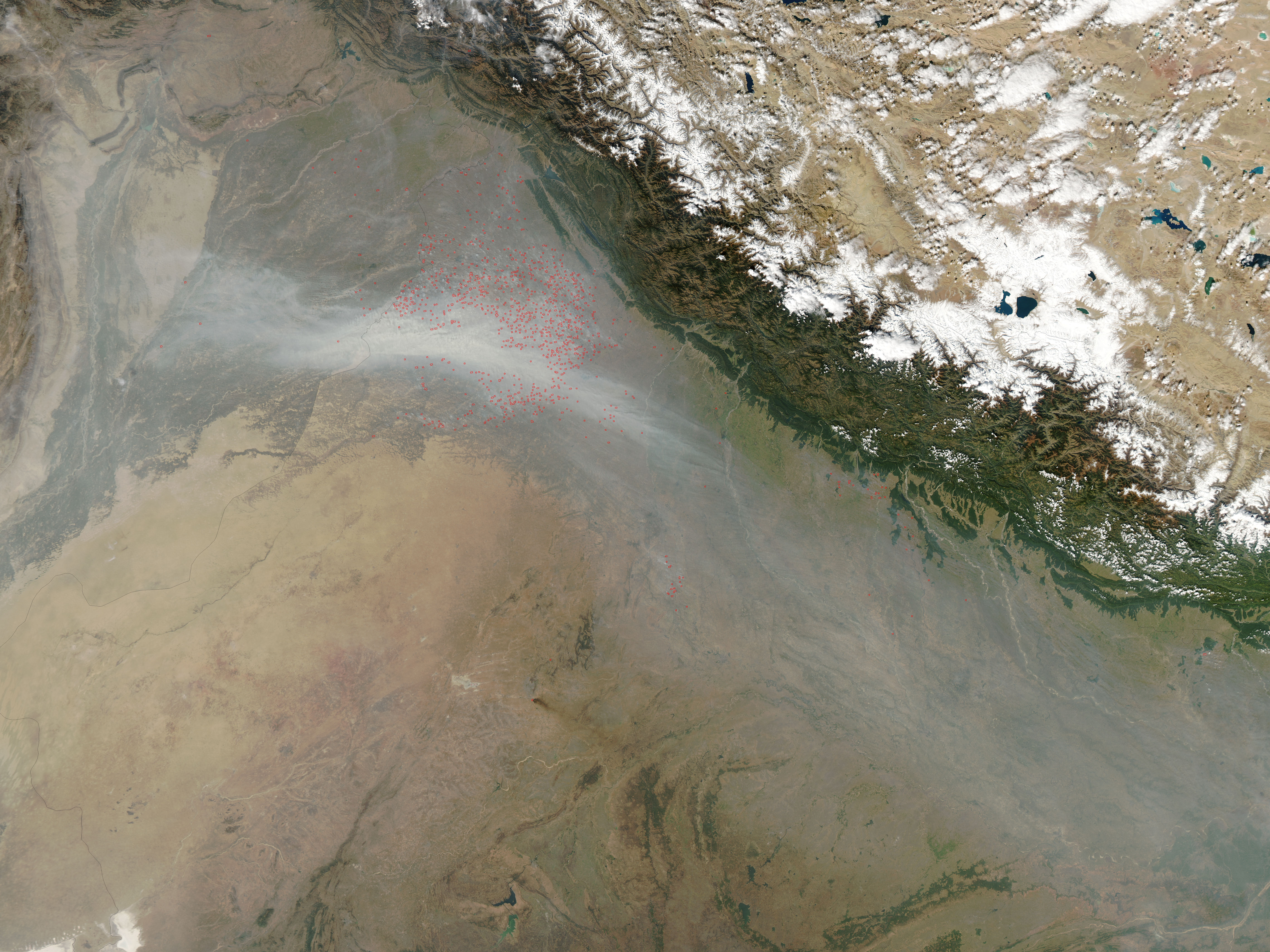
The skies over northwest India were extremely hazy on November 1, 2009, when the Moderate Resolution Imaging Spectroradiometer (MODIS) on NASA’s Aqua satellite captured this image. Scores of fires (locations outlined in red), probably related to agriculture, were puffing small plumes of smoke that coalesced into a thick river of haze to the south. The haze may also contain urban air pollution and dust.
NASA image by Jeff Schmaltz, MODIS Rapid Response Team. Caption by Rebecca Lindsey, NASA’s Earth Observatory.
Thick smoke from agricultural fires, perhaps combined with urban air pollution and dust, veiled the skies over northwest India on November 1, 2009.
Atmosphere Land Fires Human Presence
Agricultural fires burned in northwestern India in late October 2009.


Acquired November 8, 2009, this true-color image shows a cluster of fires, marked by red outlines, burning in northwestern India, not far from the Pakistan border. Haze appears especially thick in Pakistan, and might result from multiple sources.
Acquired October 21, 2009, this true-color image shows a large cluster of fires burning in northwestern India. Red outlines delineate actively burning fires, and many fires produce small smoke plumes.
A river of smoke pours out of northwestern India and over the Arabian Sea in this true-color image from November 4, 2009.
