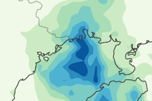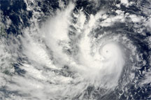
Typhoon Parma passed over the northern Philippines on October 3, 2009, claiming at least 15 lives, according to Agence France-Presse. The news agency reported that two separate landslides buried homes in the province of Benguet, killing 12 people, in addition to three other deaths reported by authorities. Parma struck the Philippines in the wake of deadly floods from Tropical Storm Ketsana.
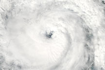
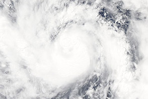
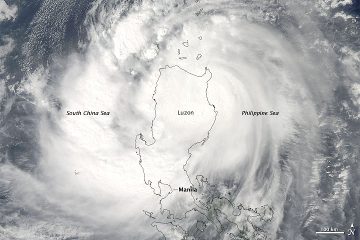
The Moderate Resolution Imaging Spectroradiometer (MODIS) on NASA’s Aqua satellite captured this true-color image of Typhoon Parma at 1:20 p.m. Manila time (5:20 UTC) on October 3, 2009. Clouds stretch from the Philippine Sea in the east to the South China Sea in the west, completely covering the island of Luzon. Unlike earlier images, however, this image does not show an easily identifiable eye of the storm.
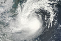
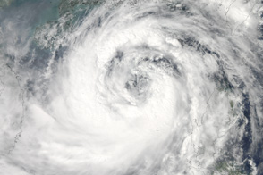
At 15:00 UTC (11:00 p.m. Manila time) on October 4, 2009, the Joint Typhoon Warning Center issued a bulletin stating that Typhoon Parma had been downgraded to tropical storm status. At the time of that bulletin, the storm had sustained winds of 60 knots (about 110 kilometers per hour) with gusts up to 75 knots (about 140 kilometers per hour). At the time of that bulletin, the storm was roughly 350 nautical miles (roughly 650 kilometers) east-southeast of Hong Kong.
NASA image courtesy Jeff Schmaltz, MODIS Rapid Response Team at NASA GSFC. Caption by Michon Scott.
alert message