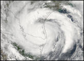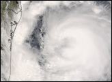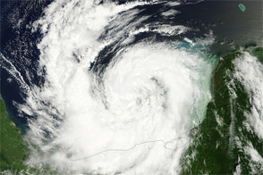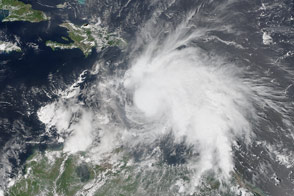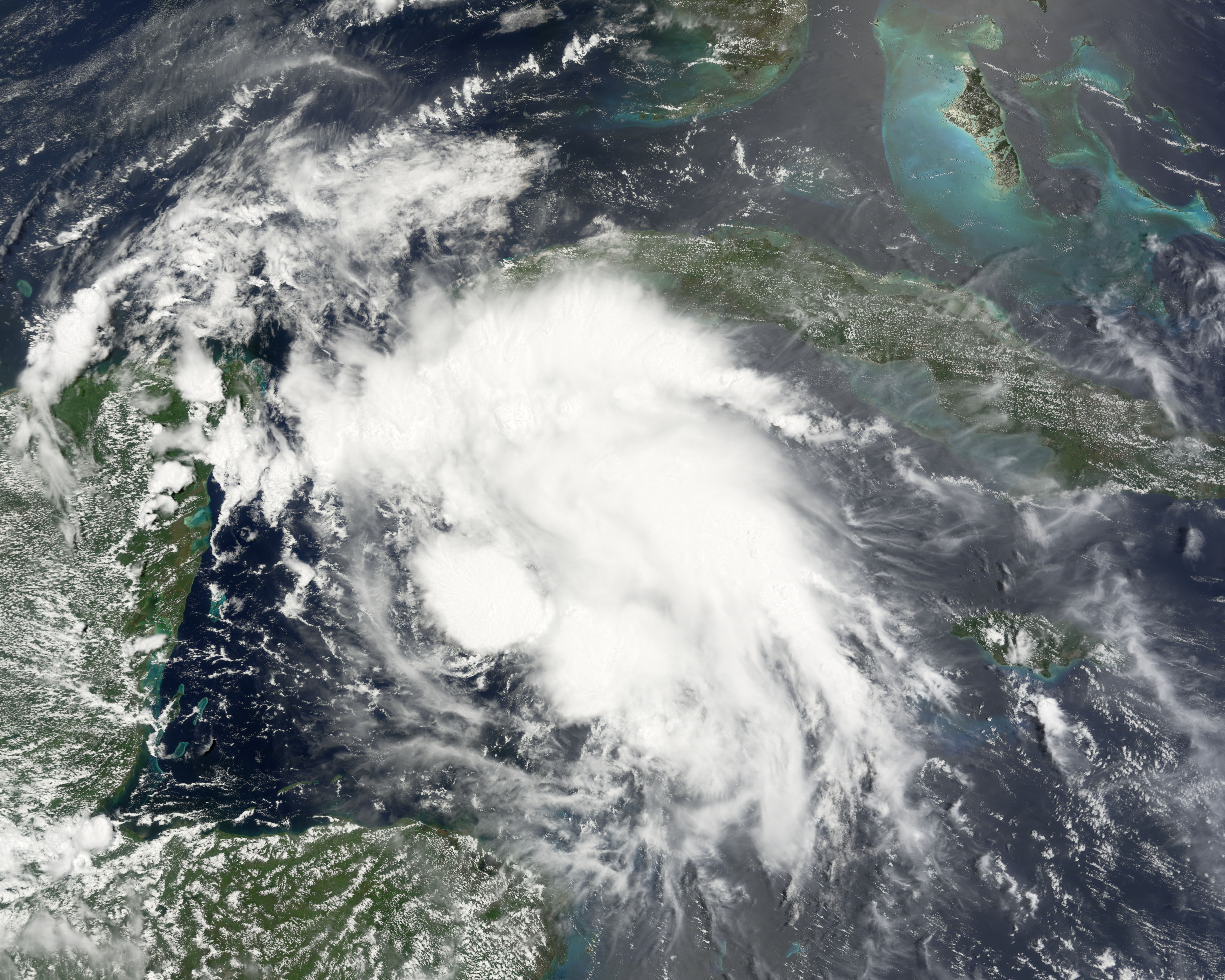
Tropical Storm Dolly formed in the Caribbean Sea between Honduras and Cuba on July 20, 2008. The storm system never gained hurricane status, but brought very heavy rain to Mexico’s Yucatan region as it traversed the peninsula. The storm re-organized and gained strength when it began crossing the Gulf of Mexico. As of the morning of July 22, forecasters were anticipating that it would just reach minimal hurricane strength before coming ashore again somewhere in the region near Brownsville, Texas, which sits on the border between the United States and Mexico.
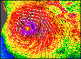
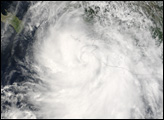
This natural-color satellite image, obtained by the Moderate Resolution Imaging Spectroradiometer (MODIS) on NASA’s Terra satellite, shows Tropical Storm Dolly as it appeared at 11:05 a.m. local time (16:05 UTC) on July 20, 2008, just as the storm was forming in the Caribbean Sea south of Cuba. While it is clearly an organized storm, Dolly lacked the signature elements of a powerful hurricane. The storm center lacked an eye, clearly defined spiral arms, and the rotation of the storm is only barely apparent. However, distinct thunderstorm systems within Dolly are apparent; these tall columns of cloud tower over the surrounding cloud deck.
In both northern Mexico and southern Texas, hurricane warnings had local residents and businesses batten down to protect property. According to the Associated Press, officials were particularly concerned about the possibility of substantial flooding associated with the storm, with predictions of storm surge along the coast of about six feet, plus a reasonably high probability of heavy rains, perhaps 25 to 50 centimeters (10 to 20 inches).
You can download a 250-meter-resolution KMZ file of the storm suitable for use with Google Earth.
NASA image created by Jesse Allen, using data obtained from the Goddard Land Processes data archives (LAADS). Caption by Jesse Allen.
alert message