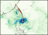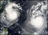
Typhoon Kalmaegi crossed the northern tip of Taiwan during the night on July 17, 2008. The storm system lost power as it approached the coast and crossed land, emerging back over water on the far side of the island as a tropical storm system. It remained a tropical storm as it crossed the Taiwan Strait, and it was predicted to come ashore in the evening of July 19 in mainland China, according to forecasters.
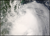
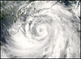
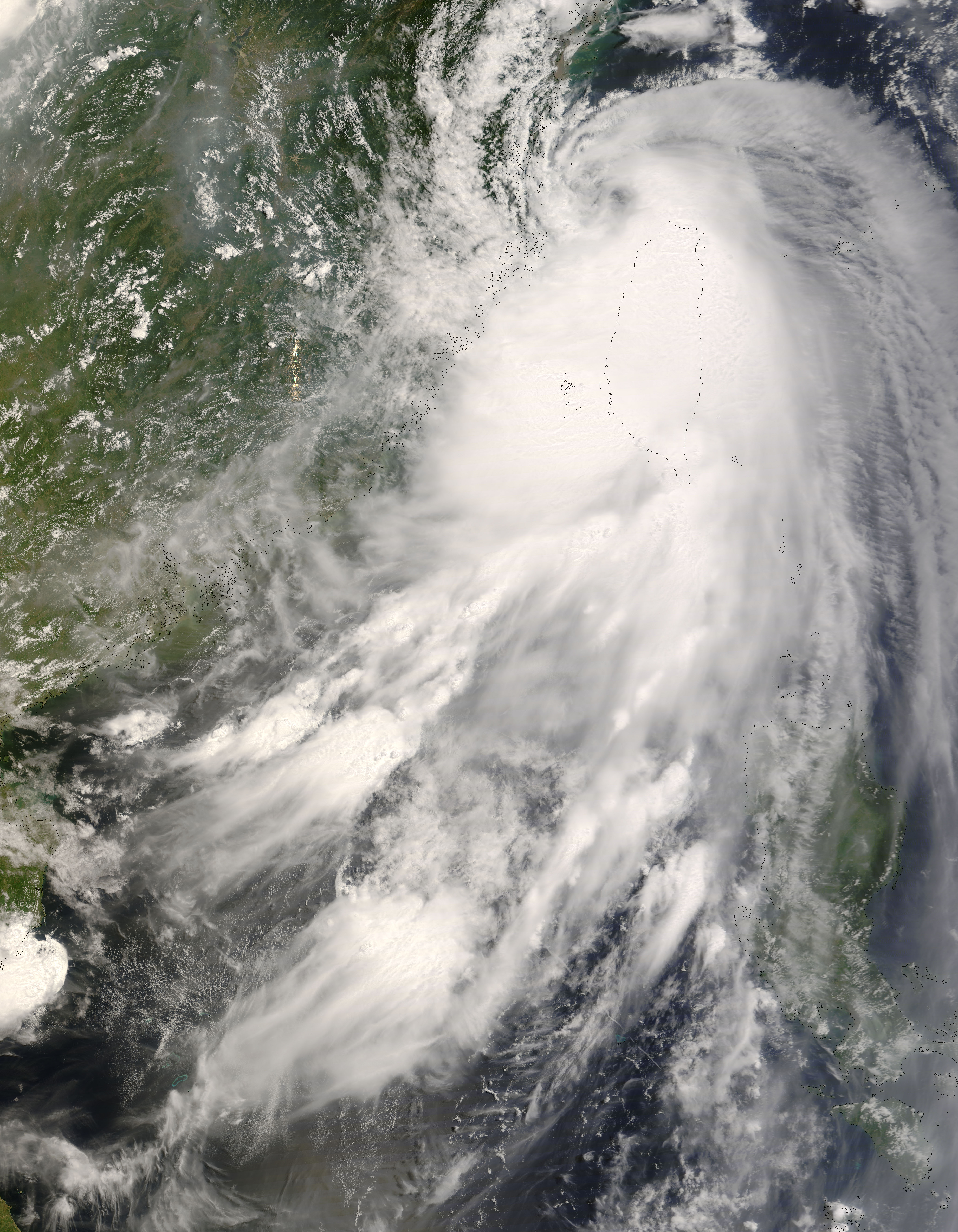
This natural-color satellite image, obtained by the Moderate Resolution Imaging Spectroradiometer (MODIS) on NASA’s Terra satellite, shows Tropical Storm Kalmaegi as it appeared at 11:10 a.m. local time (3:10 UTC) on July 18, 2008. The storm system showed remnants of the basic spiral shape of a typhoon, but it lacked the strong arm structure and well-defined central eye characteristic of mature, powerful systems. The central eye was completely gone, but long arms of clouds with thunderstorms stretch out for many miles from the storm’s center.
The typhoon was responsible for six deaths on Taiwan, according to UPI news service, and another six were reported missing. Though the storm’s center passed over the northern end of the island, most damage from the storm was in the low-lying southern section of Taiwan, where heavy rains caused extensive flooding.
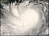
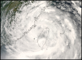
The high-resolution image provided above is at MODIS’ full spatial resolution (level of detail) of 250 meters per pixel. The MODIS Rapid Response System provides this image at additional resolutions.
You can download a 250-meter-resolution KMZ file of the storm suitable for use with Google Earth.
NASA image by Jeff Schmaltz, MODIS Rapid Response Team, Goddard Space Flight Center.