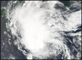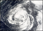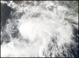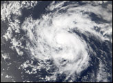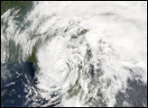
Tropical Storm Wukong formed in the western Pacific on August 12, 2006, as a tropical depression. Within a day, it had become organized enough to be classified as a tropical storm and earn its name. Wukong is the name of the Monkey King in a Chinese legend, “Journey to the West.” On August 17, the storm came ashore on the island of Kyushu at the southern end of the Japanese Islands. As of August 17, it was expected to bring rain and wind to southern Japan and southern Korea for several days.
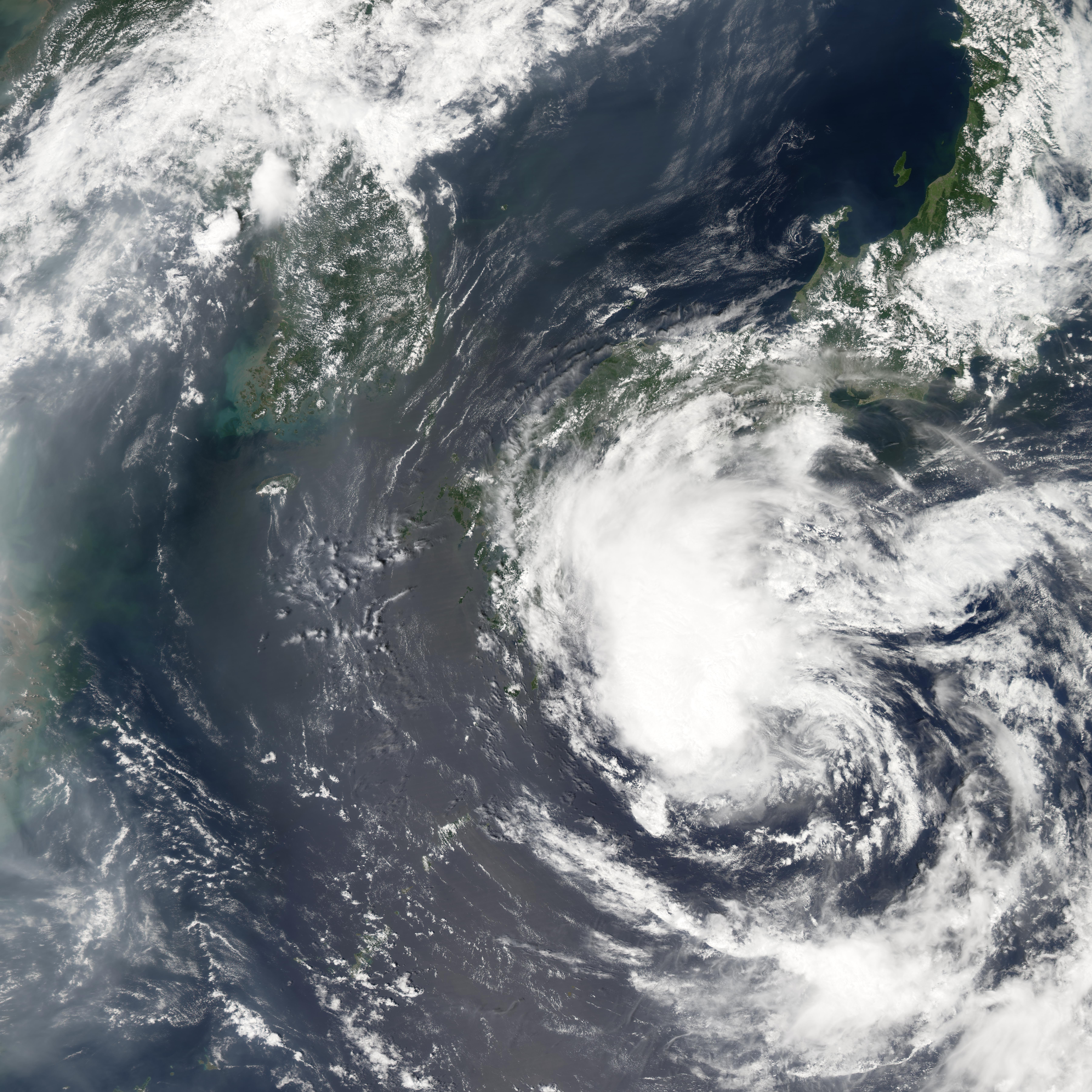
This photo-like image was acquired by the Moderate Resolution Imaging Spectroradiometer (MODIS) on the Aqua satellite on August 16, 2006, at 1:30 p.m. local time (04:30 UTC). Tropical Storm Wukong at the time of this image was a very large system with a well-defined but unstructured ball of clouds. In the large image, which shows a wider area around the storm, clear air is visible around the storm, which is pushing smog and dust-laden air from China to the north and east of the storm system. Tropical Storm Wukong had sustained winds of around 90 kilometers per hour (55 miles per hour) near the time of this image, according to the University of Hawaii’s Tropical Storm Information Center.
NASA image created by Jesse Allen, Earth Observatory, using data provided courtesy of the MODIS Rapid Response team.