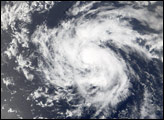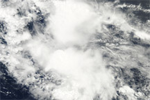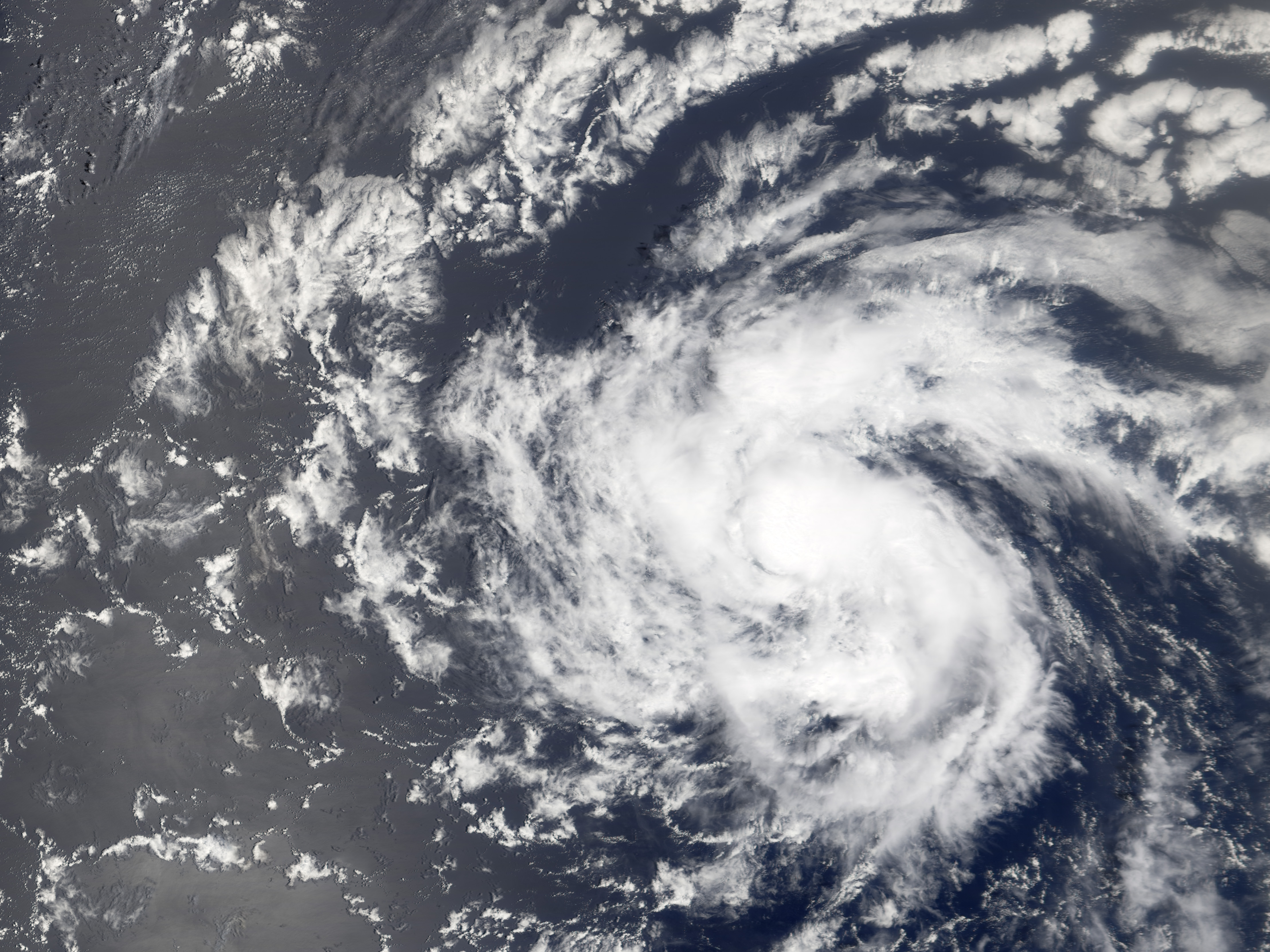
Tropical Storm Debby formed near the Cape Verde Islands off the west African coast on August 21, 2006. Within a day, it had become organized enough to be classified as the fourth storm of the 2006 Atlantic season: Tropical Storm Debby. As of August 24, 2006, Tropical Storm Debby was making its way through the central Atlantic and posed no immediate threat to any land areas. It is known as a Cape Verde storm because of its formation in the far eastern Atlantic near to Cape Verde Islands.
This photo-like image was acquired by the Moderate Resolution Imaging Spectroradiometer (MODIS) on NASA’s Terra satellite on August 24, 2006, at 10:35 a.m. local time. Tropical Storm Debby at the time of this image was a small and not particularly powerful storm system, though it did possess a well-defined round shape and basic spiral-arm structure. Tropical Storm Debby had sustained winds of around 75 kilometers per hour (45 miles per hour), according to the University of Hawaii’s Tropical Storm Information Center.
NASA image created by Jesse Allen, Earth Observatory, using data provided courtesy of the MODIS Rapid Response team.
alert message