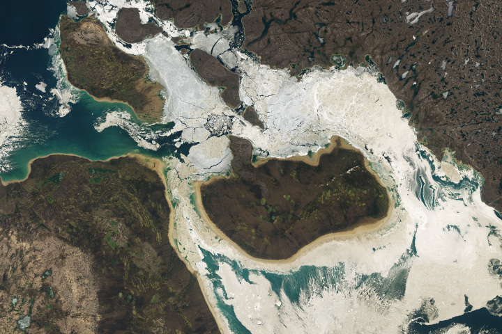
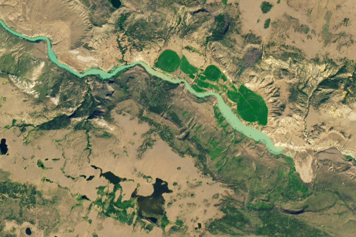
The Earth Observatory has published its last Image of the Day on this website. Please join us on our new home at science.nasa.gov/earth/earth-observatory.

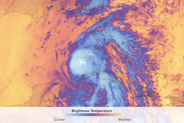
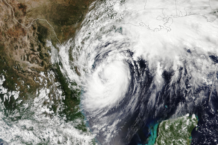
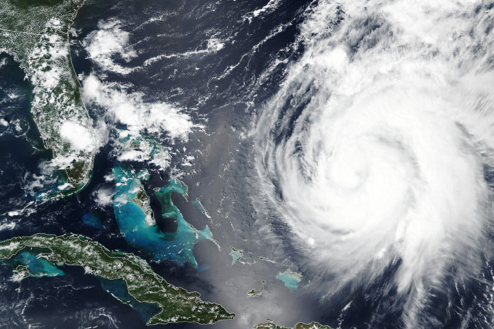
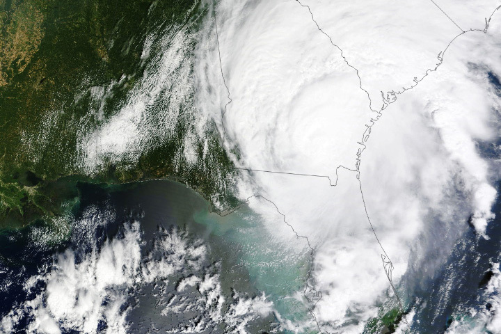
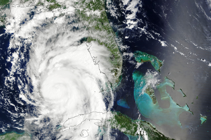
Hurricane Debby made landfall near the town of Steinhatchee, Florida, at 7 a.m. Eastern Time on August 5, 2024, as a Category 1 storm. As it moves northeast, the storm is forecast to stall over the U.S. Southeast and deliver torrential rainfall.
This GeoColor image was captured by the ABI (Advanced Baseline Imager) on the GOES-16 (Geostationary Operational Environmental Satellite-16) at 3 a.m. Eastern Time, four hours before Debby made landfall. The satellite is operated by the National Oceanic and Atmospheric Administration (NOAA), which includes the National Weather Service (NWS). NASA helps develop and launch the GOES series of satellites, which observe Earth from about 22,000 miles (36,000 kilometers) above the equator.
Debby developed into a tropical storm on August 3 in the Gulf of Mexico, becoming the fourth named storm of the 2024 hurricane season. Bands of intense rainfall soon began to lash western Florida, dumping over a foot (30 centimeters) of rain near Sarasota between August 3 and 4.
By August 5, Debby had grown into a Category 1 storm with sustained winds of around 80 miles (130 kilometers) per hour at the time of landfall. As of 11 a.m. Eastern Time that day, over 207,000 homes were without power, according to PowerOutage.us. NWS forecasts called for the storm to bring 10 to 20 inches of rain and “life-threatening” storm surge of up to 10 feet to parts of the Big Bend region, where Florida’s panhandle curves to meet the peninsula.
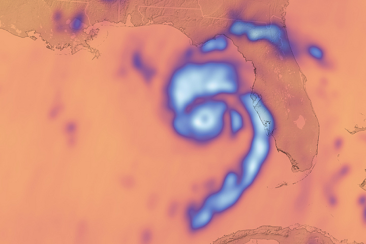
“There’s a lot of warm water and low vertical wind shear in the Gulf of Mexico right now, which are two key ingredients for storm intensification,” said Patrick Duran, a hurricane expert at NASA’s Short-Term Prediction Research and Transition (SPoRT) project, based at Marshall Space Flight Center. Vertical wind shear is the difference in the speed and direction of lower-level and upper-level winds. High shear rips the tops off of developing hurricanes and weakens them, while low shear allows storms to build.
NASA’s SPoRT team focuses on improving weather forecasts using satellite data from NASA and NOAA. Duran uses the ABI instrument on GOES satellites in his work to look at fine-scale structures in clouds and find the center of a storm’s circulation. ABI’s infrared bands are used during the day and night to look at the depth of a storm’s convection and how it is developing.
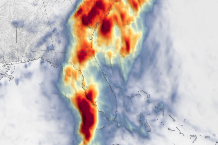
Debby hit the same stretch of sparsely populated land as Idalia, which came ashore as a Category 3 hurricane in August 2023. Though Debby is weaker than Idalia, its slower pace means it could unleash “potentially historic” rain across the Southeast, according to the NWS. Forecasts indicate that from August 5 to 10, parts of southeast Georgia, coastal South Carolina, and southeast North Carolina could see 10 to 20 inches of rain, with up to 30 inches possible in some places.
NASA Earth Observatory image by Lauren Dauphin, using GOES 16 imagery courtesy of NOAA and the National Environmental Satellite, Data, and Information Service (NESDIS). Story by Emily Cassidy.