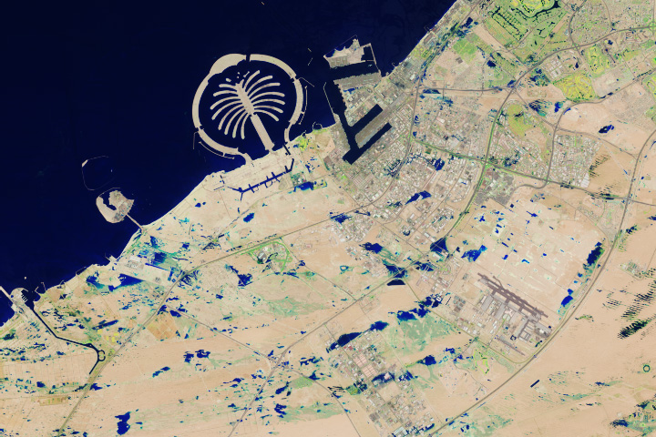
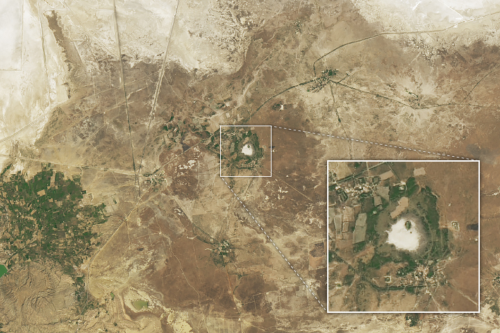
The Earth Observatory has published its last Image of the Day on this website. Please join us on our new home at science.nasa.gov/earth/earth-observatory.
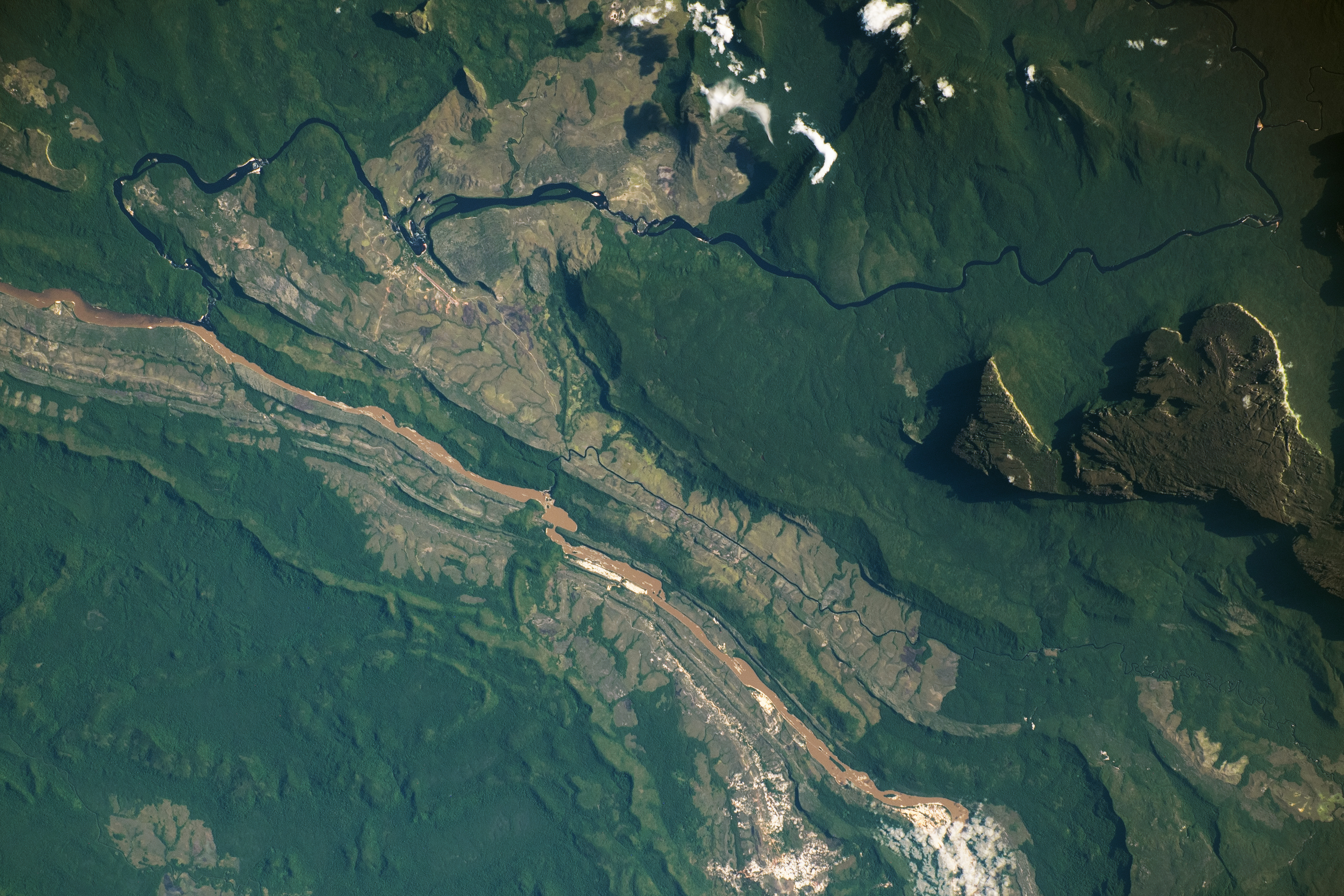
This photograph, taken by an astronaut aboard the International Space Station, captures the lush, dynamic landscape of southeastern Venezuela. The Auyán-tepuí, also called Auyán Massif, towers thousands of feet above the surrounding area, casting shadows along its northern and western edges. The Caroní and Carrao rivers flow west of the massif, converging near Canaima and ultimately joining the Orinoco River.
Located within the Guiana Highlands, the table-top mountains—known as tepuis—have steep vertical cliffsides that rise up to 3,000 meters (10,000 feet). Auyán-tepuí, one of the larger tepuis, reaches a height of almost 1,524 meters (5,000 feet).
Due to their height, the summit zones of the tepuis have cooler climates. They are unique ecological islands, hosting species of flora and fauna only found on the flat tops of the range. The tepuis contain some of the oldest geologic formations on Earth, with ages estimated at more than 1.7 billion years old, making them older than the Himalayan and Appalachian mountains combined.
The small town of Canaima appears as a small, light-toned patch at the top left of the image. Tourists visiting the tepuis access the remote area via this town. To the east of the Caroní River, Canaima National Park preserves waterfalls, rivers, rainforests, and wildlife such as giant otters, jaguars, and exotic birds. Along the Carrao River, waterfalls, such as the Salto el Sapo, are visible near Canaima. The area is a UNESCO world heritage site, known for its geologic history, significant number of endemic species, biodiversity, and natural beauty.
Astronaut photograph ISS070-E-53609 was acquired on January 4, 2024, with a Nikon D5 digital camera using a focal length of 240 millimeters. It is provided by the ISS Crew Earth Observations Facility and the Earth Science and Remote Sensing Unit, Johnson Space Center. The image was taken by a member of the Expedition 70 crew. The image has been cropped and enhanced to improve contrast, and lens artifacts have been removed. The International Space Station Program supports the laboratory as part of the ISS National Lab to help astronauts take pictures of Earth that will be of the greatest value to scientists and the public, and to make those images freely available on the Internet. Additional images taken by astronauts and cosmonauts can be viewed at the NASA/JSC Gateway to Astronaut Photography of Earth. Caption by Sara Schmidt, GeoControl Systems, JETS II Contract at NASA-JSC.