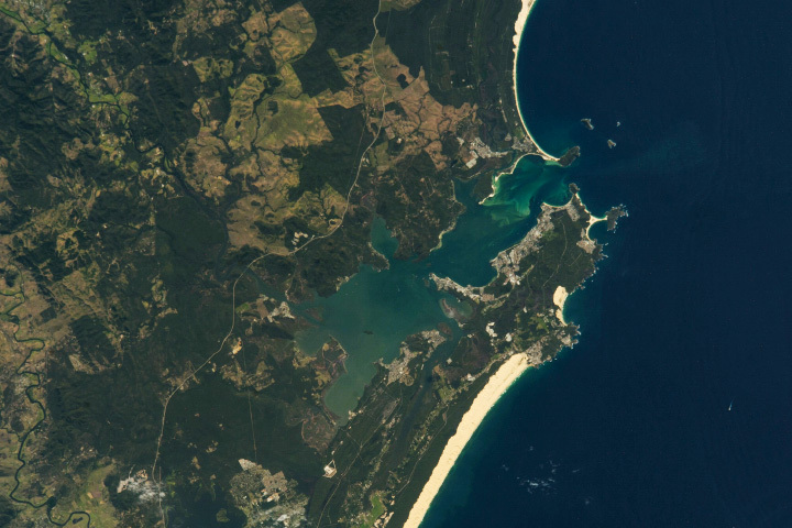
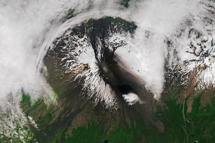
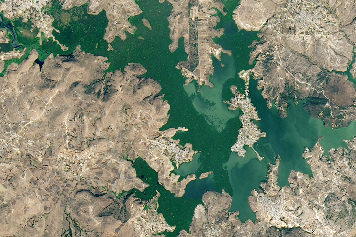
The Earth Observatory has published its last Image of the Day on this website. Please join us on our new home at science.nasa.gov/earth/earth-observatory.
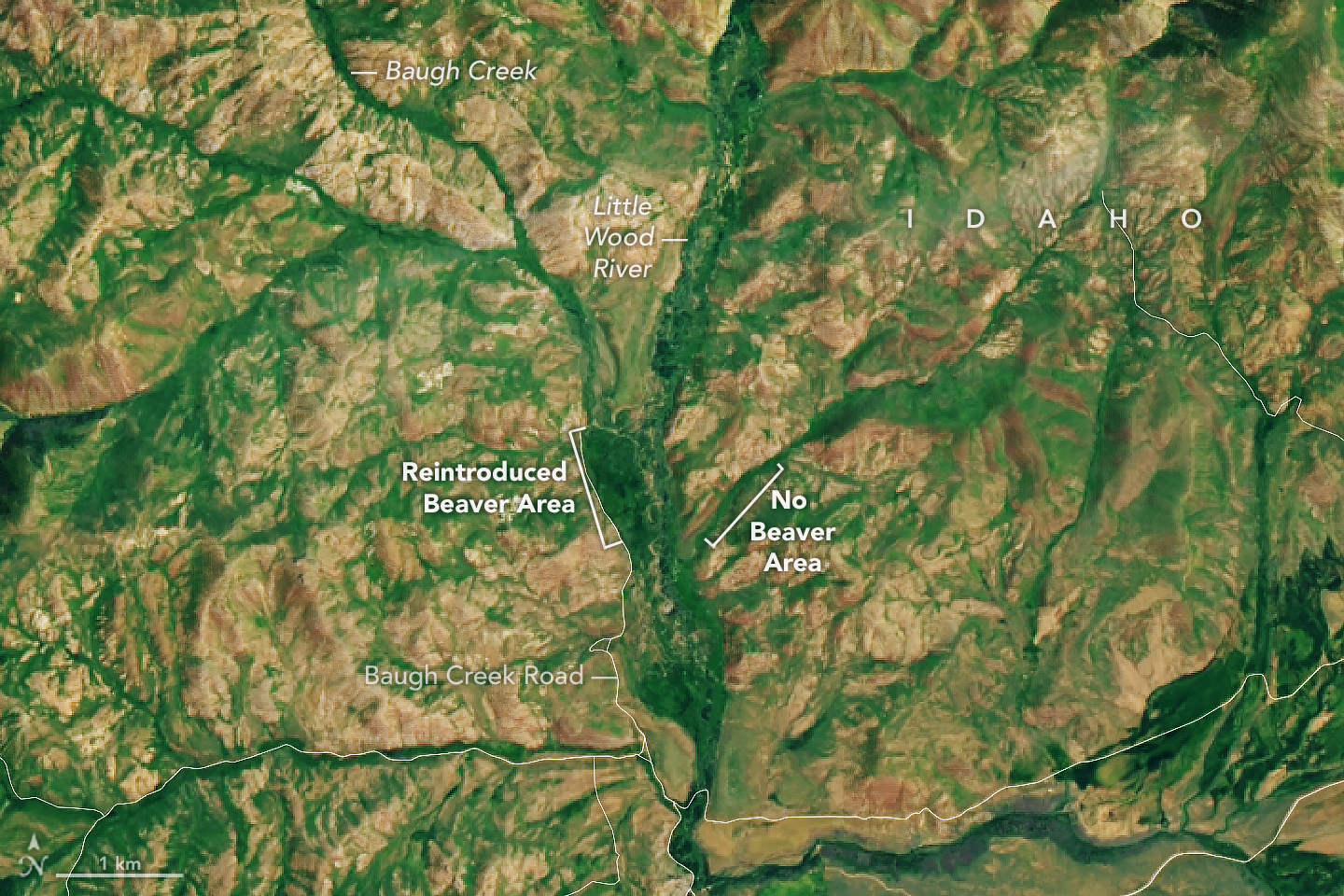
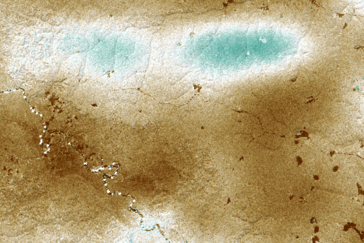
Baugh Creek originates in the Pioneer Mountains of south-central Idaho and flows generally southeast until it meets the Little Wood River. The tributary is easy to identify in satellite images given the wide patches of green vegetation surrounding its banks. Plants are thriving here, thanks to the ponded water from beaver dams.
For decades, beavers that were considered a nuisance in populated areas of Idaho were relocated to more remote parts of the state. One of these relocation sites is the Baugh Creek watershed. Beavers have become established in the area in recent years, though they are not yet pervasive.
The Operational Land Imager-2 (OLI-2) on Landsat 9 acquired this natural-color image of Baugh Creek and Little Wood River on June 24, 2022. Notice the wide patch of green vegetation surrounding the beaver relocation site at Baugh Creek. In contrast, only a narrow strip of vegetation lines nearby waterways where beavers have not been introduced.
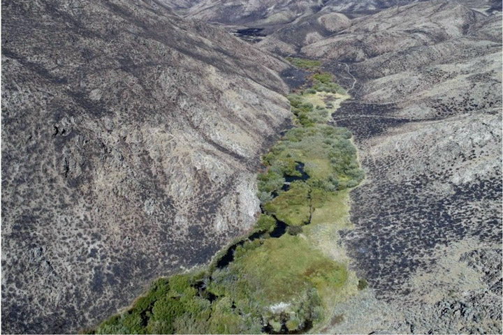
The area has been called an “emerald refuge” because of its resilience to fire. In 2018, the Sharps Fire burned about 65,000 acres including large portions of the Baugh Creek watershed. After the fire, areas where beavers had created wetland complexes remained vibrant emerald-green amid a sea of brown, burned land. The photo below shows an aerial view of the wetlands around Baugh Creek after the fire.
This and other benefits of healthy beaver populations on local ecosystems are now widely recognized. Rivers with beavers can support more biodiversity, are more drought resilient, and keep water available on the land for more days of the year. Some ranchers have gone from seeing beavers as a nuisance to recruiting them onto their land.
But witnessing the impact of nature’s engineers on a single stream is easier than measuring it across a region or choosing the ideal site to reintroduce beavers. Now, a NASA-supported effort in Idaho adds remote sensing data to the suite of tools used to predict which streams can support beavers and to monitor how water and vegetation change once they return.
Boise State University scientists Jodi Brandt, Nick Kolarik, and Nawaraj Shrestha are part of the beaver rewilding project, funded by NASA Applied Sciences’ Ecological Conservation program area. The project includes four parts: updating the existing Beaver Restoration Assessment Tool (BRAT), creating two applications that use Earth observations to measure beaver rewilding impacts (MRRMaid and MVP), and a smartphone application for comparing photos of field sites (Phlux).
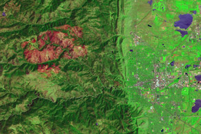
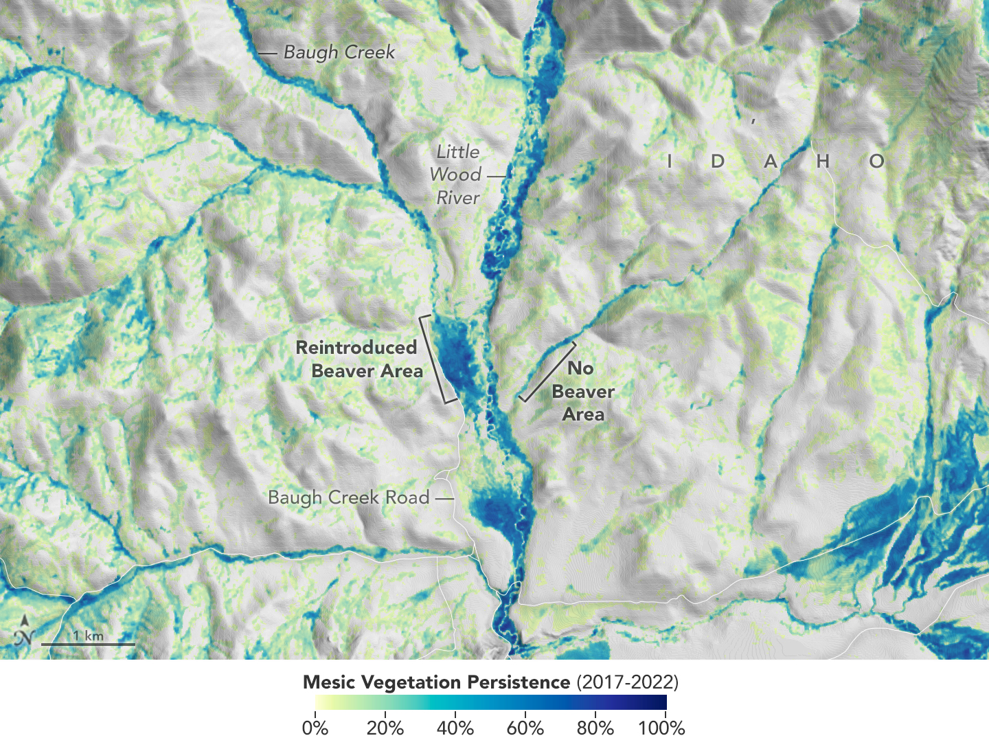
The MVP application, led by Shrestha, uses data from Landsat and Sentinel-2 satellites to produce near-real time measures of plants growing near rivers and streams (mesic vegetation). The map above shows mesic vegetation persistence in the Baugh Creek region detected with Sentinel-2 data between 2017 and 2022. Mesic vegetation persistence can be used to characterize an area’s vegetation over time. It is also a proxy for water and can be used to identify streams or creeks that are flowing but perhaps too small or narrow to detect directly.
Learn more about the beaver rewilding project, collaborations with conservationists, and the various decision support tools in this feature story.
NASA Earth Observatory images by Lauren Dauphin, using Landsat data from the U.S. Geological Survey, and Sentinel-2/Landsat mesic persistence data provided by Boise State University. Photograph by Joe Wheaton/USU, used under the Creative Commons Attribution 4.0 International license. Story by Kathryn Hansen and Kaitlin Carpenter.