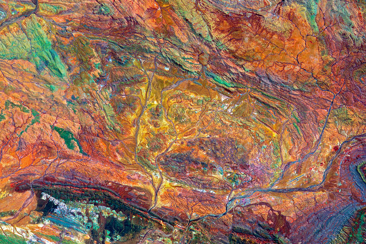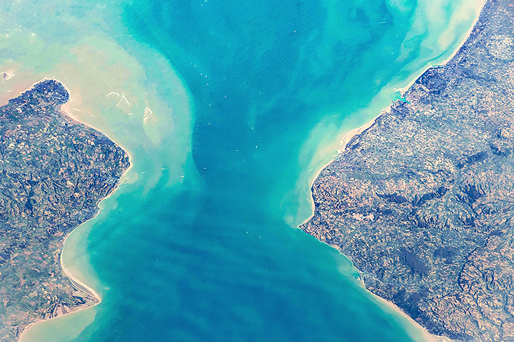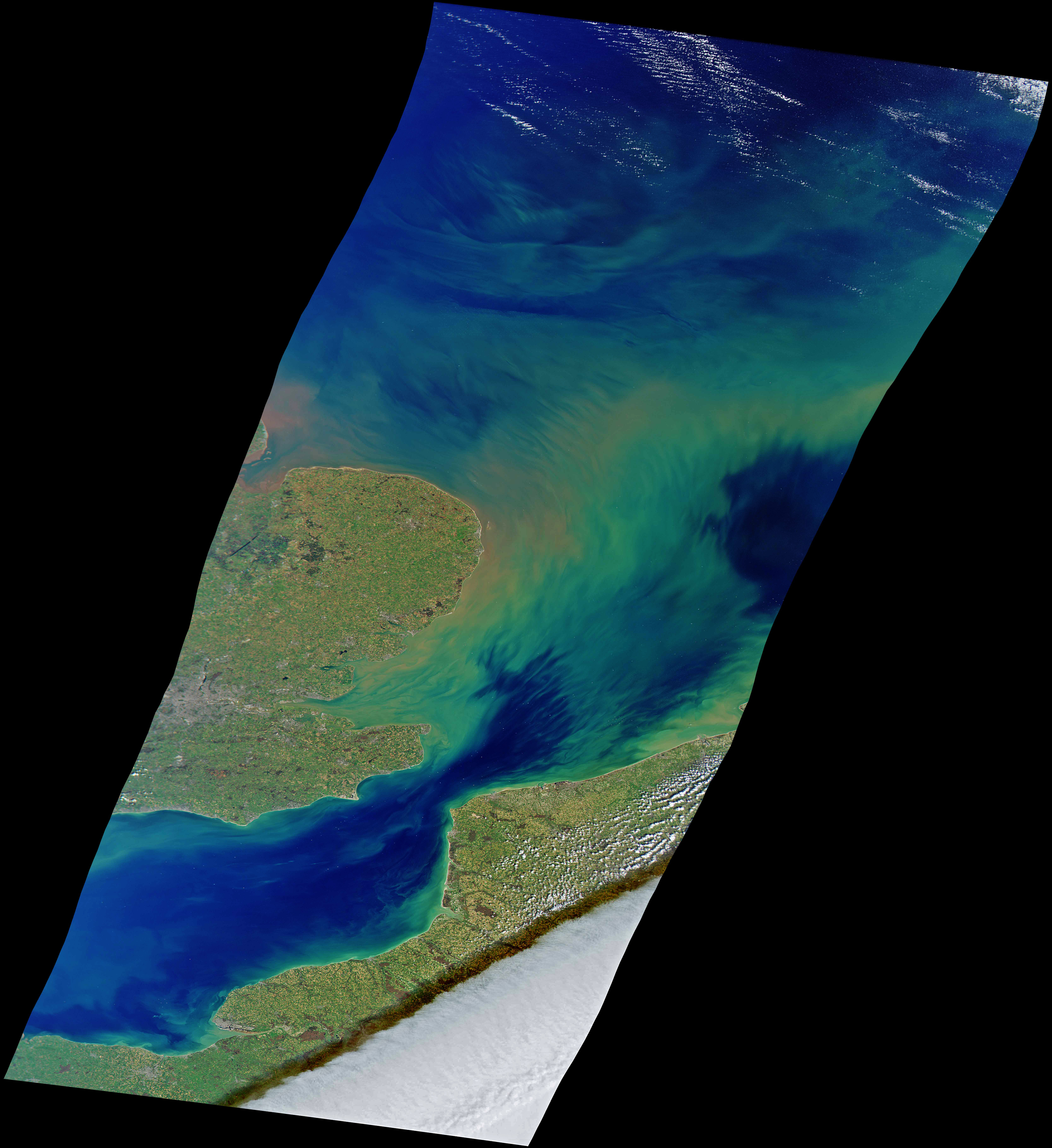
In mid-March 2022, the skies were clear over the eastern end of the English Channel (La Manche), though the waters were not. Springtime in these northern seas is often accompanied by the outflow of sediments from rivers, the stirring of sediments from the seafloor, and the blooming of floating, plant-like phytoplankton that thrive on the influx of nutrients and fresh water.
“The optical complexity of the waters in the eastern English Channel and southern North Sea is a real witches brew of suspended sediments issuing from the Thames Estuary and the soft substrates of the French and Belgian coastlines,” said Tim Smyth, science lead for marine biogeochemistry and observations at Plymouth Marine Laboratory (UK). Those sediments are typically churned up by waves and strong currents that slosh back and forth through the Channel. “The complexity of the currents and the ever-shifting seafloor bathymetry shapes the beautiful filamentous patterns in this region.”
Smyth also suggested that some patches of the North Sea and the English Channel could be discolored by spring phytoplankton blooms. “The optical complexity of the meeting of the English Channel and North Sea makes it difficult to separate sediment from the chlorophyll signal there,” he added.
The natural-color image above was acquired on March 17, 2022, by the multispectral HawkEye sensor aboard the SeaHawk CubeSat. Besides the sediments, note the many small, bright points in the water—mostly ships and boats traversing one of the world’s busiest shipping lanes. Note also the bank of stratocumulus clouds (lower right) and the shadow they cast on northern France.
“It is extremely rare to actually have a cloud-free day across this region,” said Alan Holmes, the Cloudland Instruments engineer who built HawkEye. “This does not happen often across wide fields of view.”
SeaHawk is a relatively new nanosatellite designed to monitor ocean color and coastal ecosystems. The tiny satellite is roughly the size of a shoebox and flies in a polar orbit at 585 kilometers (363 miles) in altitude. SeaHawk was funded by private grants and built by a team led by the University of North Carolina, Wilmington. NASA scientists assisted in the development and have since worked to integrate the data with other ocean color datasets.
Previous ocean-observing satellite instruments—such as the Sea-viewing Wide Field-of-view Sensor (SeaWiFS)—had lower spatial resolution and large pixels of data that made detailed research of coastal environments challenging. SeaHawk was designed to fill this void by providing data with eight times the spatial resolution of SeaWiFS. This small satellite was conceived, in part, to prove that some ocean color measurements in coastal ecosystems could be made more often and at lower cost.
NASA image by Alan Holmes/NASA's Ocean Color Web, using data from SeaHawk/HawkEye. Story by Michael Carlowicz, with input from Gene Feldman, NASA.
alert message