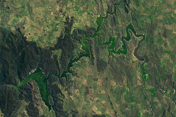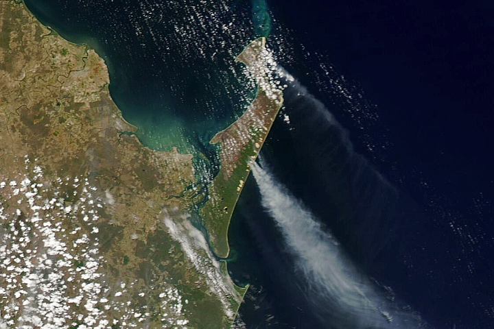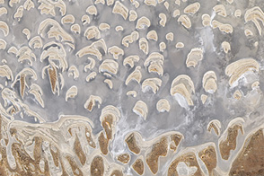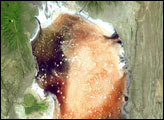
For much of the year, an efflorescent salt crust makes Lake Lefroy stand out as a bright, white spot in satellite images. But after heavy rains, the ephemeral lake in Western Australia takes on a different look.
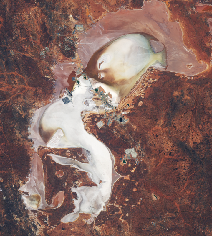
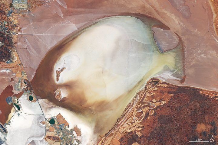
When the Operational Land Imager (OLI) on Landsat 8 acquired this natural-color image on February 9, 2021, water had pooled in the playa’s lowest points. The rain fell as part of a tropical low that soaked the Eastern Goldfields region in early February. The water was discolored by some combination of suspended sediments from the region’s red soils, light reflecting off the rust-colored lake bed, or bacterial activity in the salty water.
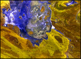
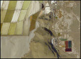
The smaller pools of green water in the center of the lake are areas where a mine discharges groundwater, a process called mine dewatering. The mine, built along a causeway that bisects the lake, taps into rich deposits of gold and nickel. Mining pits, roads, tailing ponds, and other mining infrastructure are visible along the causeway.
Large volumes of water do not persist for long in Lake Lefroy because the region’s hot, dry climate encourages evaporation. While water pooled in early February in a pattern that resembles a tropical fish, it’s unlikely the pattern will last. Lake Lefroy is frequently reshaped by changes in the prevailing winds that transport water back and forth between different parts of the playa. Nor are fish often found in these waters. Aside from certain flies, small crustaceans, phytoplankton, and algae, not much thrives in the hypersaline and impermanent waters.
NASA Earth Observatory images by Lauren Dauphin, using Landsat data from the U.S. Geological Survey. Story by Adam Voiland.