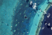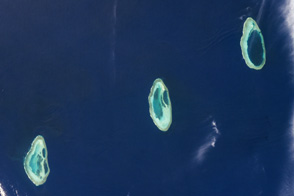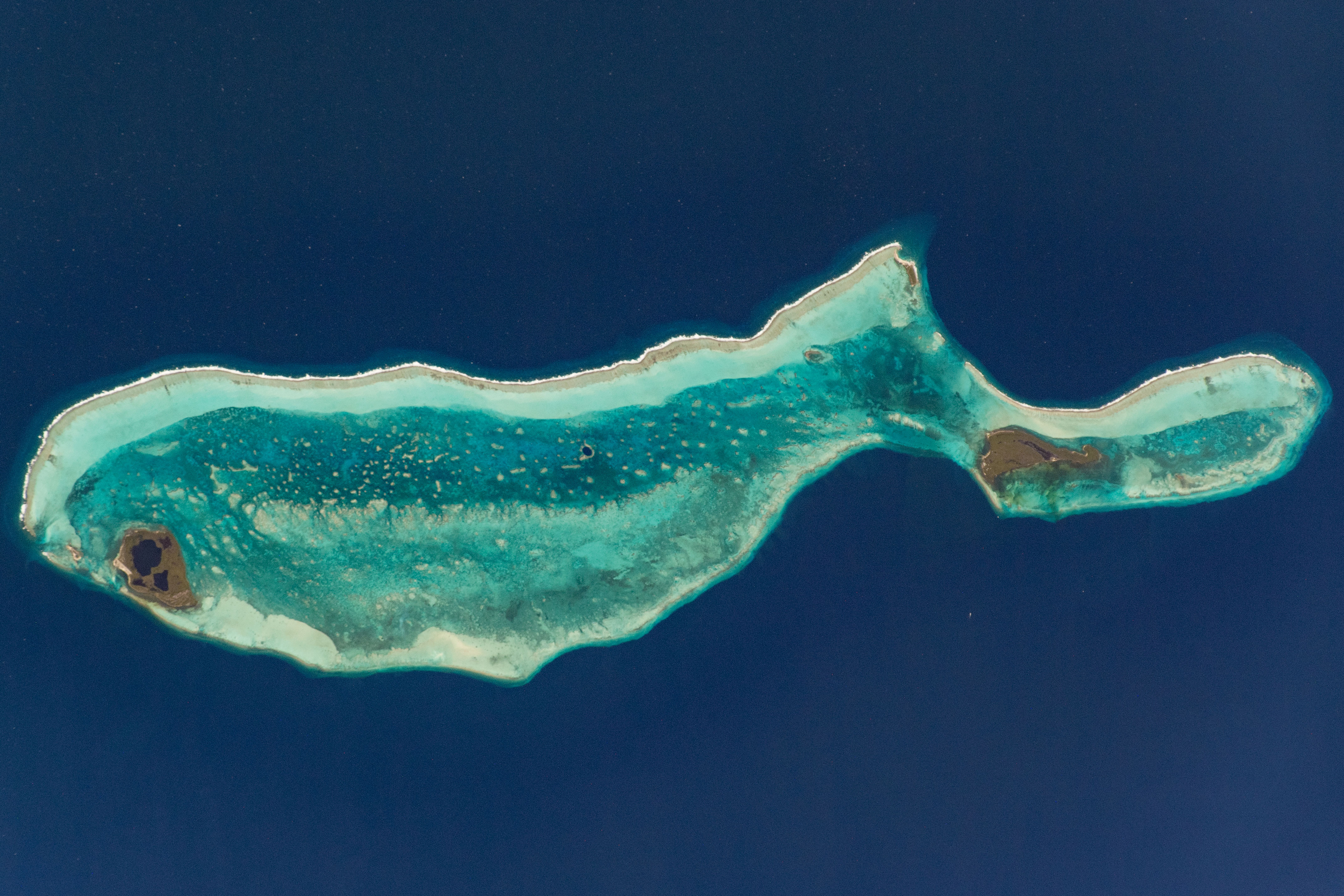
This photograph, taken by an International Space Station astronaut while in orbit over the Caribbean Sea, captures one of Earth’s most alluring ocean locations. The Great Blue Hole lies near the center of Lighthouse Reef atoll, about 80 kilometers (50 miles) from the coast of mainland Belize. The exceptional clarity of the water, characteristic of atolls in the Caribbean, allows the deeper (darker) hole to stand out against the shallower (lighter) waters of the reef.
The mysterious Great Blue Hole most likely formed during the last Ice Age, when global sea level was much lower. This marine sinkhole contains many geologic features, including limestone stalactites and stalagmites. It stretches 300 meters (about 1,000 feet) across and reaches depths of more than 120 meters (400 feet). The depths and compelling rock formations within the Great Blue Hole are intriguing to seasoned divers. While the reefs around it are teeming with life, the poor circulation of oxygen and lack of light at the bottom of the hole creates an inhospitable environment for most life forms.
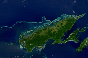
Lighthouse Reef and the Great Blue Hole are just small pieces of the Belize Barrier Reef system, one of the world’s most pristine marine ecosystems. Comprised of fringing, barrier, and atoll reefs, the area supports a rich diversity of species. There are several natural monuments within the atoll, including Half Moon Caye, a marine protected area created by the Belizean government to support rare bird species.
The Belize Barrier Reef is an integral part of the greater Mesoamerican Barrier Reef, the second longest in the world. Stretching along 1000 kilometers (600 miles) of the coastlines of Mexico, Belize, Guatemala, and Honduras, the reef system is a major hub for marine species and one of the most biodiverse places on Earth.
Astronaut photograph ISS062-E-81945 was acquired on March 5, 2020, with a Nikon D5 digital camera using a 380 millimeter lens and is provided by the ISS Crew Earth Observations Facility and the Earth Science and Remote Sensing Unit, Johnson Space Center. The image was taken by a member of the Expedition 62 crew. The image has been cropped and enhanced to improve contrast, and lens artifacts have been removed. The International Space Station Program supports the laboratory as part of the ISS National Lab to help astronauts take pictures of Earth that will be of the greatest value to scientists and the public, and to make those images freely available on the Internet. Additional images taken by astronauts and cosmonauts can be viewed at the NASA/JSC Gateway to Astronaut Photography of Earth. Caption by Laura Phoebus, Jacobs, JETS Contract at NASA-JSC.