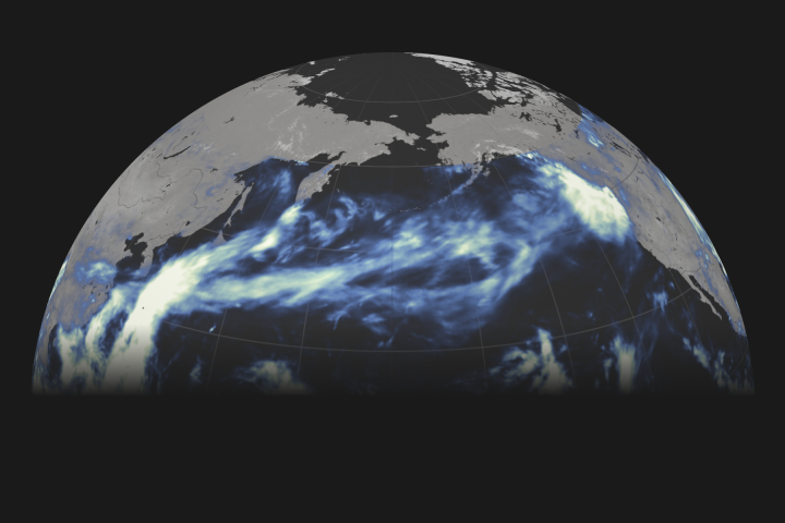
Australian meteorologists took note recently when not one—but two—vast bands of clouds stretched from the eastern Indian Ocean to Australia, channeling streams of moisture that delivered intense rains to both sides of the continent.
Moisture-transporting atmospheric rivers occur all over the world and regularly hit Australia, but it is rare for two of the rainmakers to hit at once, according to Australia’s Bureau of Meteorology. One of them delivered more than 150 millimeters (6 inches) of rain in less than 24 hours to Western Australia’s Nullabar Coast, a dry area that typically receives 24 millimeters of rain in the whole of August. The second system dropped large volumes of rain on New South Wales.
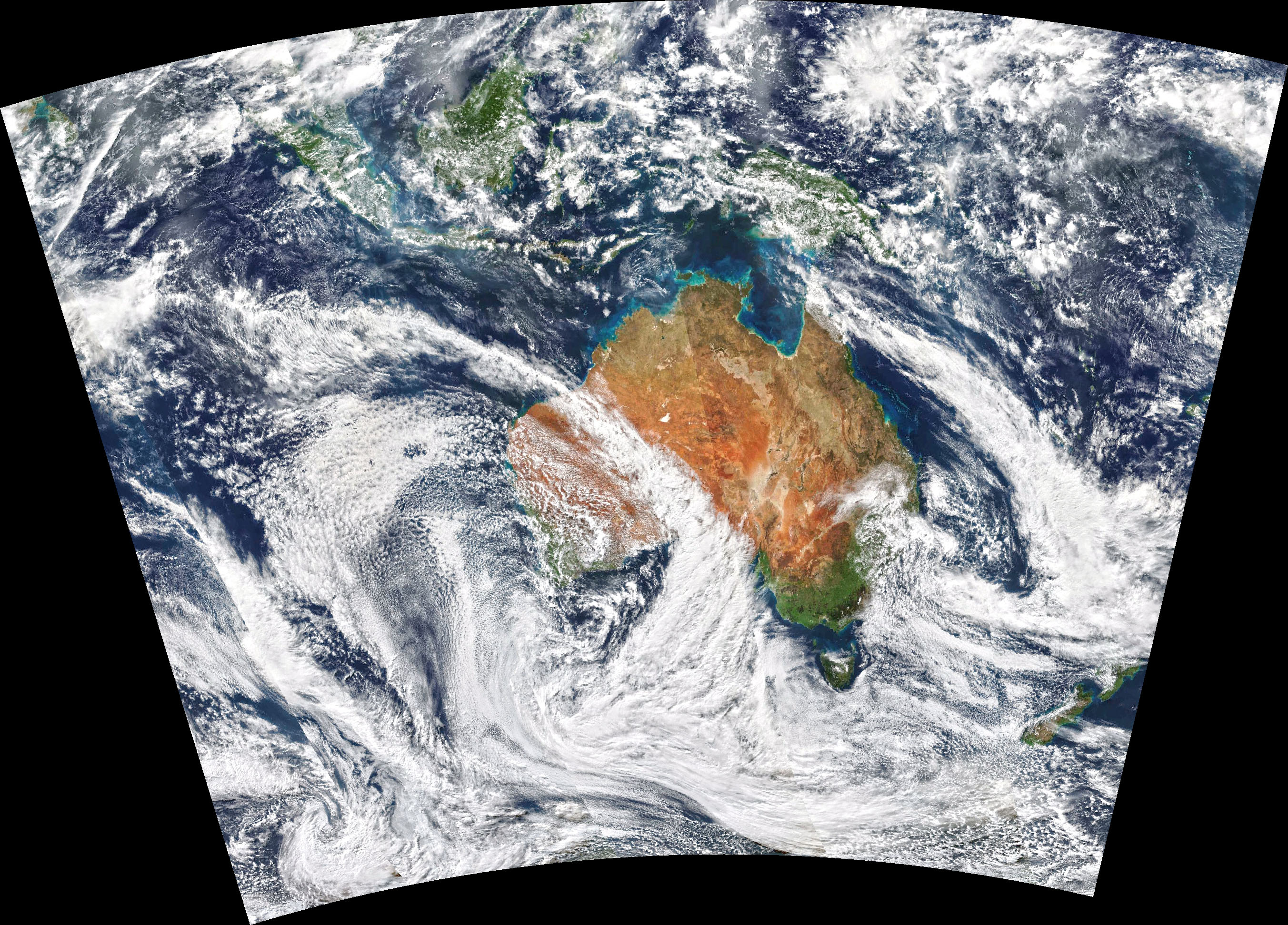
The Visible Infrared Imaging Radiometer Suite (VIIRS) on the NOAA-NASA Suomi NPP satellite captured this natural-color image of the cloud bands on August 10, 2020.
Atmospheric rivers are often called Northwest Cloud Bands in Australia. The same type of event in the United States is colloquially called the Pineapple Express, because it brings moisture from the tropical Pacific near Hawaii to the U.S. West Coast.
There are some indications that the frequency of atmospheric rivers could be increasing as global climate changes. After searching through 30 years of satellite data (1984-2014) for Northwest Cloud Bands affecting Australia, a team of University of Melbourne researchers concluded that the number of cloud band days had increased by nearly one day per year over the study period.
NASA Earth Observatory image by Joshua Stevens, using VIIRS data from NASA EOSDIS/LANCE and GIBS/Worldview and the Suomi National Polar-orbiting Partnership. Story by Adam Voiland.