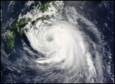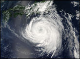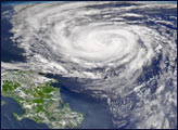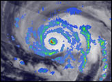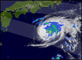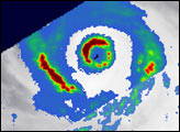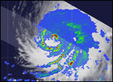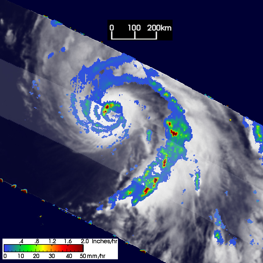
Typhoon Namtheun, which means “river,” was quickly gaining strength in the western North Pacific when the Tropical Rainfall Measurement Mission (TRMM) satellite captured this image during the early morning hours of June 26, 2004. The graceful arc of spiral rainbands don’t give much indication that this storm is rapidly intensifying. At the time this image was taken, sustained wind speeds were about 65 knots (75 miles per hour). Six hours later, Namtheun had strengthened to 90 knots (103 mph), and by late afternoon, sustained wind speeds were up to 115 knots (132 mph). The small red regions near the eye (rain rates approaching up to 50 mm an hour) are giant thunderstorms, some of which tower to 56,000 feet. These storms are powering the intensification of Namtheun. In this image, the storm is located southeast of Japan, and it is headed in a westerly direction.
NASA and the Japanese space agency, JAXA, launched TRMM in 1997 to study rainfall across the tropics and subtropics—including El Nino, the Asian Monsoon, and circulations that lead to local drought and flood. Several agencies including the NOAA Tropical Prediction Center and the Pacific Joint Typhoon Warning Center use TRMM data and images to better monitor the track and intensity change of tropical storms.
NASA image courtesy of Hal Pierce, NASA GSFC/SSAI.