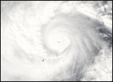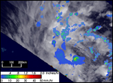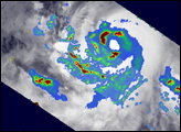
Lupit began as a tropical depression on November 19, 2003 about 375 miles west of the Kwajalein Atoll in the Marshall Islands. The depression moved due west and became a tropical storm a day later on the 20th. Lupit continued moving west, skirting the northern edge of the Caroline Islands before becoming a minimal Category 1 typhoon at 06:00 UTC on November 22, about 90 miles north of Truk Island. As it passed about 350 miles due south of Guam on the 23rd, Lupit had become a Category 2 storm with winds estimated at 110 miles per hour by the Joint Typhoon Warning Center. Lupit then turned towards the northwest and headed for the Philippine Sea, continuing to intensify. Lupit became a Super Typhoon on November 26, with winds estimated at more than 165 miles per hour.
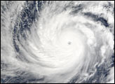
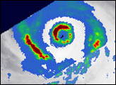
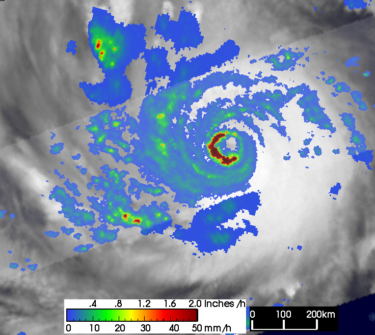
The Tropical Rainfall Measuring Mission (TRMM) satellite captured this remarkable image of Super Typhoon Lupit as the storm entered the Philippine Sea about 175 miles north-northwest of the Yap Islands. The image was taken at 17:42 UTC on November 25, 2003. At the time, the Joint Typhoon Warning Center had classified Lupit as a powerful Category 4 typhoon, estimating its sustained winds at around 135 miles per hour.
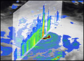
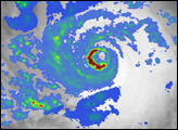
The image shows the horizontal distribution of rain rates as seen from above by the TRMM satellite. Rain rates in the center swath are from the TRMM Precipitation Radar (PR), the first such radar to be flown in space, while rain rates in the outer swath are from the TRMM Microwave Imager (TMI). These data are overlaid on infrared (IR) data from the TRMM Visible Infrared Scanner (VIRS). TRMM reveals an intense band of heavy, 2-inch-per-hour rain rates (dark red semicircle) on the western edge of the closed center.
Typhoons and hurricanes act as large heat engines. The fuel for these engines comes from the transformation of water vapor in the atmosphere. As water vapor condenses into the cloud droplets that form the precipitation, heat is released. This heat, known as latent heat, is what drives the circulation of the storm. In general, the more heat that is being released, the more intense the storm will be. This heating is most effective in driving the storm if it is occurs near the center of the storm as is the case shown here with Lupit.
TRMM is a joint mission between NASA and the Japanese space agency NASDA.
Images produced by Hal Pierce (SSAI/NASA GSFC) and caption by Steve Lang (SSAI/NASA GSFC)