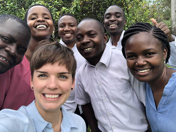
Karibu! Welcome! I just returned from a training in Dar es Salaam, Tanzania, after an incredible week focused on using satellite data to better understand complex watershed dynamics and manage water resources. Referred to as Dar by locals, Tanzania’s largest city sits on the tropical east coast of Africa and is full of salty sea smells and friendly people. Our SERVIR colleagues from the Regional Centre for Mapping of Resources for Development (RCMRD) and I spent a full 5 days with Tanzanian water resources managers from the Rufiji Basin, Wami-Ruvu Basin, and other offices focused on…you guessed it…water.

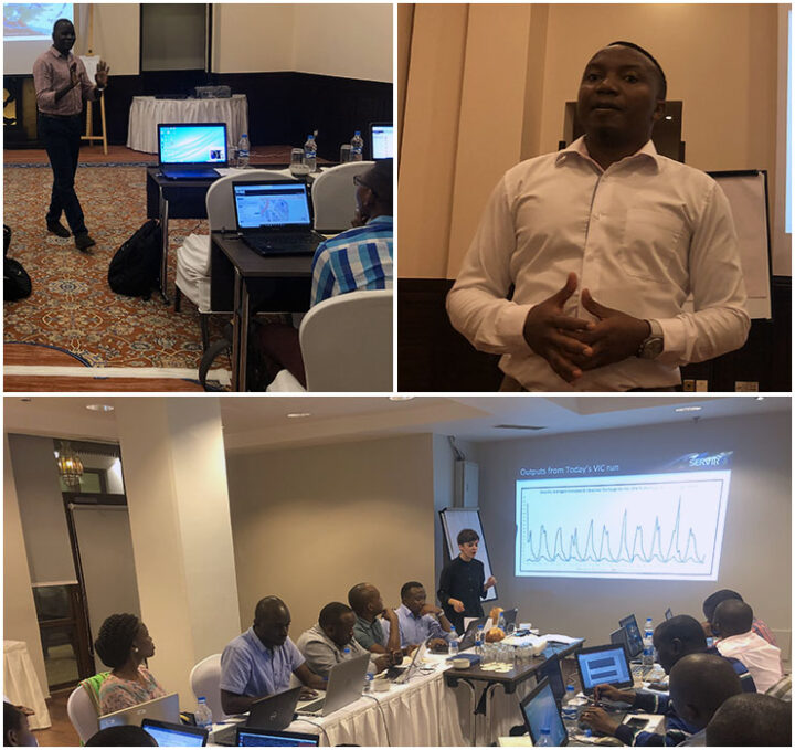
My colleagues from RCMRD and I shared the labor in teaching on different modules designed to build on one another with each day (Top left: Calvince Wara, Top right: Denis Macharia, Bottom: Andi Thomas, Behind the Camera: Felix Kasiti).
Flowing from the Eastern Arc Mountains, the Rufiji river basin is one of the largest in East Africa and where most of Tanzania’s agriculture grows. The Wami-Ruvu basin is where Tanzania’s largest urban centers (including Dar) and industrial complexes are concentrated, but you will also find agricultural fields. Both basins are vulnerable to environmental factors that affect water quantity and quality. Examples include increased water demand from population growth, pollution from industrial and agricultural runoff, and uncertainty in rainfall patterns as our climate changes. With NASA’s freely-available satellite data, hydrologists can measure streamflow at a given place and time, and estimate discharge using different hydrologic models.
These predictions support sustainable water management, as other factors change in and around the basin. In Tanzania, the long rains are from March to June while the short rains are from October to December. As our climate changes, Tanzania experiences high and low extremes with intense drought or floods with the changing of seasons. These anomalies threaten agricultural production and livelihoods in the region as populations grow, pollution increases, and natural disasters are more devastating. Monitoring and modeling water resources can help to plan ahead and respond more efficiently.

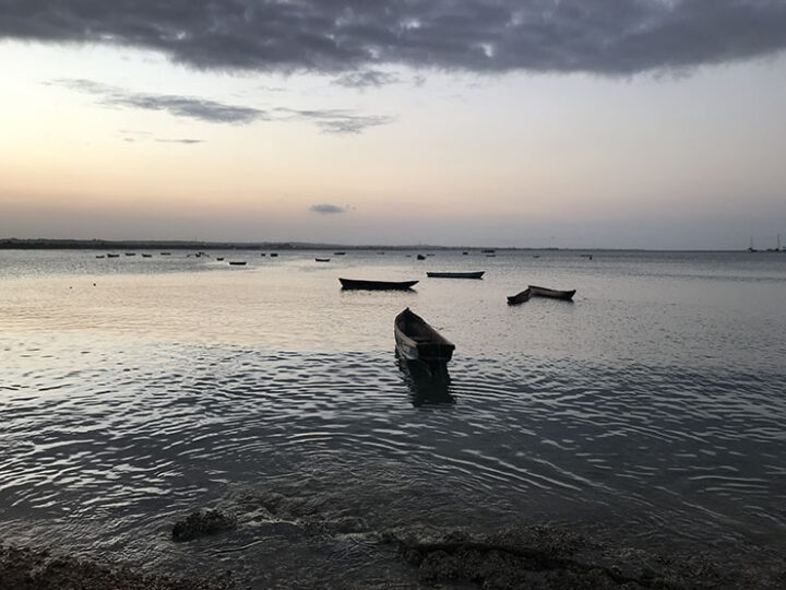
Dar es Salaam is a fishing community on the coast. Fishermen park their boats along the shoreline after a long day of fishing while the night fishermen prepare to leave at sunset.
One of the goals of the SERVIR program is to build capacity to use satellite data in the regions we work in by training the trainers with tools, products, and services that aid in environmental management. For this training, we used a common hydrological model– the Variable Infiltration Capacity (VIC) model– to estimate streamflow. Over five days, the intensive training covered the entire modeling process for VIC– from data access and preparation to model run, calibration, and interpretation.
As a result of this workshop, stakeholders are equipped to return to their offices and replicate the process for different sub-basins. Estimating discharge over time with satellite data will save resources and allow hydrologists in the region to better understand long-term basin characteristics for improved management practices.


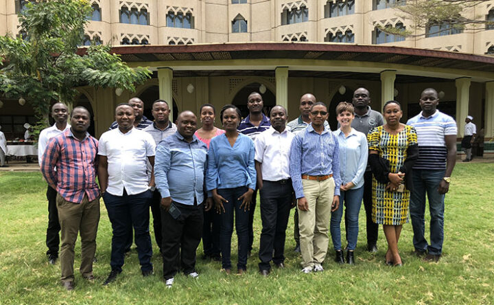
One last photo before I leave you. Here we are outside of the hotel, just before our last meal together. I cannot wait to meet again someday!
Tags: Connecting Space to Village, Easter & Southern Africa, Rufiji Basin, SERVIR, Tanzania, Water, Water Resources Management


Thanks Andi Thomas for penning down this wonderful piece of experience. I enjoyed and loved every bit it; the interaction of learning from one another during the training. History won’t take this away. Thanks for sharing this.
Just now I visit this website and first time … I heartly say , you people are doing very very very much good . Super .. awesome.. really it touch my hearts… it’s not helpful for your life/our life, it’s all for our future generation mainly EARTH LIFE❤️?
Prodigious information I get this website seo and it is an awesome info website. I am weighting the next post to read. Please keep posting such kind of post and info. Thank you very much again for such great information. I am a founder of etijobs.com