In the early 19th century, Meriwether Lewis and William Clark led an ambitious expedition across the western United States. They greatly expanded our knowledge of the country’s geography and biological diversity through their specimen collection, mapping of the landscape, and detailed journal entries.
This year NASA and the National Park Service are encouraging the public to follow in the footsteps of Lewis and Clark through a new citizen science challenge. From June 1 to September 2, citizens are invited to use their smart phones and the NASA GLOBE Observer app to map land cover along the Lewis and Clark National Historic Trail to assist scientists studying environmental changes.
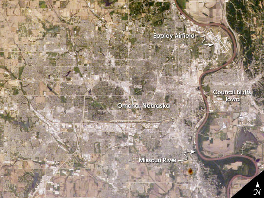
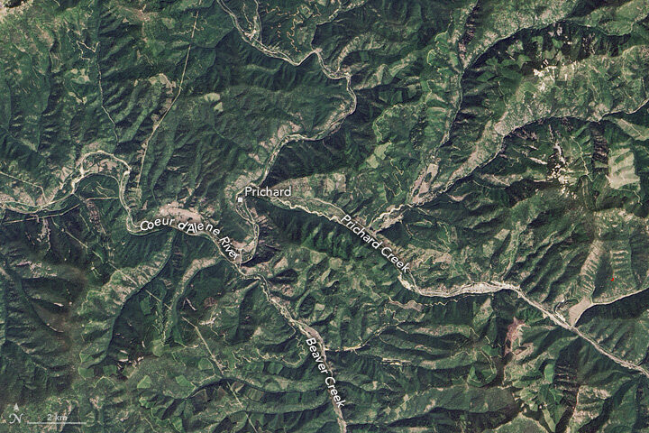
Land cover–such as grass, pavement, or trees–influences the water and energy cycles and influences a community’s vulnerability to natural disasters. NASA studies land cover changes from space as part of its mission to better understand our planet and improve lives.

To participate in the “GO on a Trail” challenge, download the free GLOBE Observer app from the Apple App Store or Google Play. Use the Land Cover tool to make observations of the landscape. Any observation made along the 5,000-mile-long Lewis & Clark trail from Pittsburgh to the mouth of the Columbia River earns points. The top participants will receive recognition and GO on a Trail commemorative material.
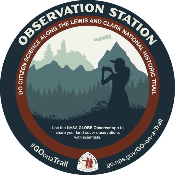
A good place to get started is at an observation station marked with a large sticker (image above) at Lewis and Clark visitor centers and museums. To navigate to sites of interest along the trail, the Lewis and Clark National Historic Trail and GLOBE Observer teams have provided an online map.
“We hope that by becoming involved with this project, people will care about the trail and become its stewards,” said Dan Wiley, chief of integrated resource stewardship for the Lewis and Clark National Historic Trail. Wiley notes that the challenge will both spark a general interest in science and show the public how it can be involved in collecting vital information for decision makers.

GLOBE Observer is an app-based citizen science program active in more than 120 countries. The program invites citizens to contribute land cover, cloud, mosquito, and tree height observations to NASA and the science community. NASA-funded scientists are eager to see citizen science observations of land cover along this trail because of its wide range of ecological regions. Data collected during the challenge could help improve satellite-based mapping of land cover across the continent.
“We are observing and monitoring our changing home planet from space to better understand how it is changing and what are the main drivers of change,” said Eric Brown de Colstoun, a scientist at NASA Goddard Space Flight Center. “The view from the ground provided by the challenge participants is one component that helps us verify the space-based data.”

Even if you are not able to visit the Lewis and Clark Trail this summer, you can still join the GO on a Trail challenge from any of the more than 120 countries where GLOBE Observer is active. Just get outdoors and map the land cover around you. The top participants from beyond the trail will also receive recognition and commemorative material.
“Lewis and Clark and their team were exploring a totally new environment to them,” said Brown de Colstoun. “We invite you to get out and explore, and document the places you know and care about. Go on a trail and do science along with us.”
NASA GLOBE Observer and Lewis and Clark National Historic Trail will provide regular updates about the GO on a Trail challenge via social media throughout the summer with the hashtag #GOonaTrail. Follow GLOBE Observer on Facebook @nasa.globeobserver or Twitter @NASAGO. Follow the Lewis and Clark National Historic Trail on Facebook @lewisandclarknht, Twitter @lewisclarktrail, and Instagram @lewisandclarknht or visit the website at: https://www.nps.gov/lecl/index.htm.


