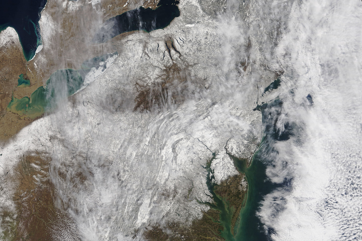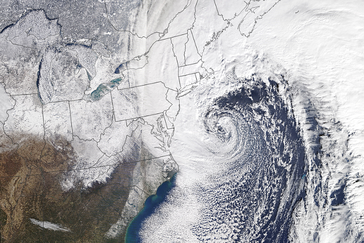
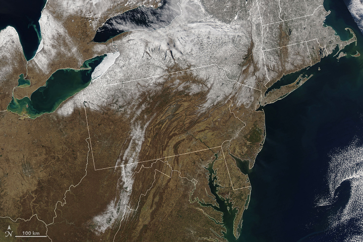
A blanket of snow gave the northeastern United States a wintery appearance for the first few days of spring.
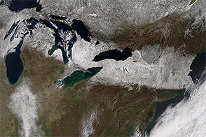
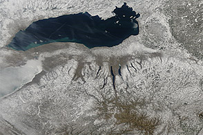
The band of snow is visible in a natural-color image (top), acquired on March 22, 2018, by the Moderate Resolution Imaging Spectroradiometer (MODIS) on NASA’s Terra satellite. The second image shows the area before the storm, on March 18, as observed by MODIS on the Aqua satellite.
According to news reports, widespread accumulations of a foot of snow were reported across five states. Outside of the Washington D.C. area, Frederick County, Maryland, reported 42 centimeters (16.5 inches) of accumulation; Suffolk County, New York, reported 51 centimeters (20.1 inches).
The storm marks the fourth nor’easter to hit the region in three weeks. According to Weather Underground’s Bob Henson: “Such storms aren’t unheard of in late winter and even early spring, but four in a row of this caliber don’t occur every winter.”
NASA Earth Observatory images by Joshua Stevens, using MODIS data from LANCE/EOSDIS Rapid Response. Text by Kathryn Hansen.