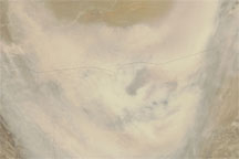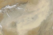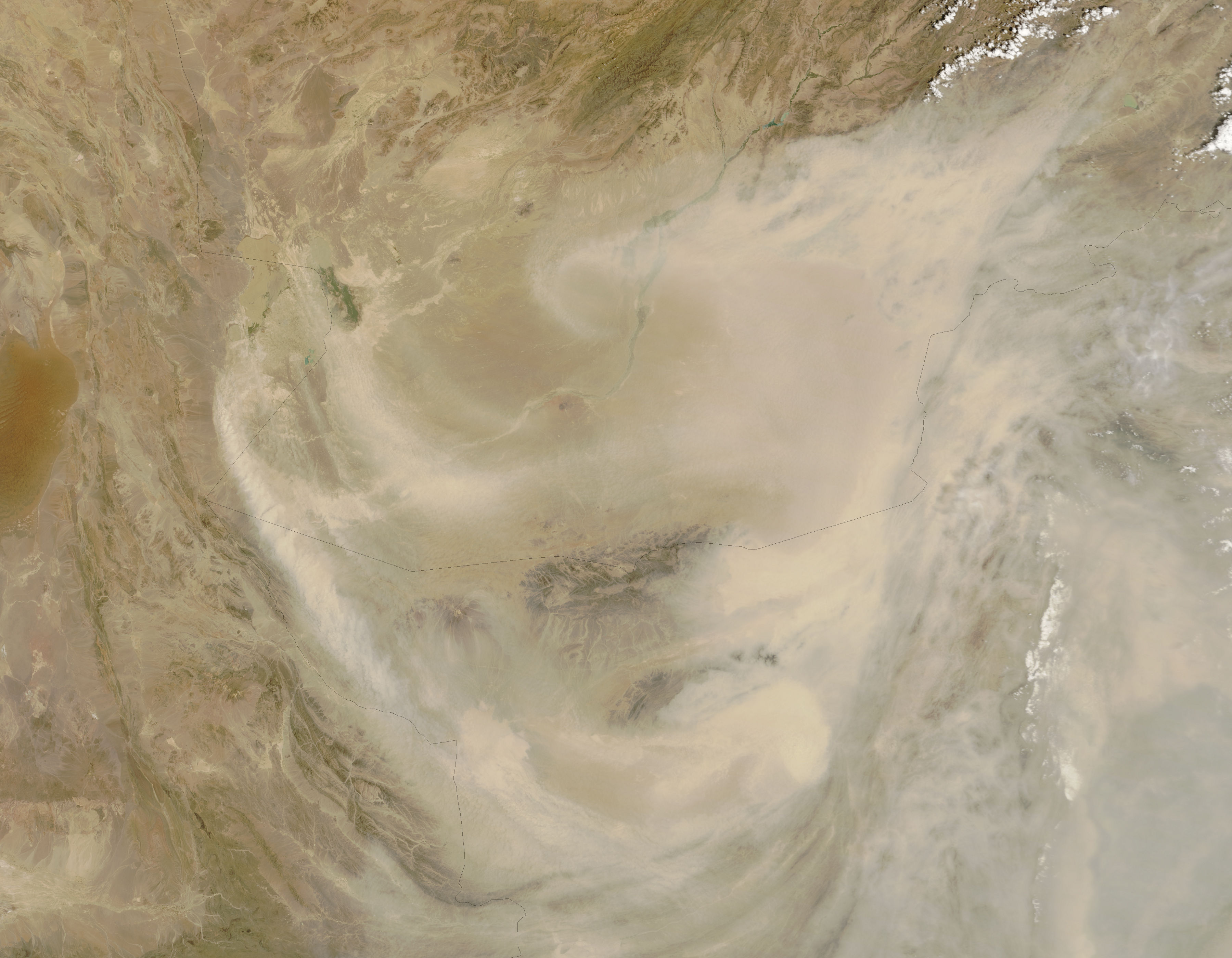
On July 21, 2007, a dust plume several hundred kilometers across swept through Afghanistan and Pakistan, largely missing neighboring Iran. The Moderate Resolution Imaging Spectroradiometer (MODIS) flying on NASA’s Terra satellite took this picture the same day. In this image, the dust appears as a beige swirl over the arid landscape. A break in the plume allows a relatively clear view of the land surface along the border between southern Afghanistan and Pakistan. Otherwise, dust obscures much of the view, although the dust thins somewhat in the southeast.
Although dust mostly misses Iran, at least some of the storm appears to originate along the Iran-Afghanistan border. Source points for the storm appear in an area known as the Hamoun wetlands, once an oasis for people and wildlife. By the start of the twenty-first century, a combination of expanded irrigation and severe drought had sucked the region dry, and winds that had once been cooled by wetland water began blowing dust. The pale color of this dust plume is consistent with that of dried wetland soils. For more information on the Hamoun wetlands, see the Earth Observatory feature story From Wetland to Wasteland.
NASA image courtesy Jeff Schmaltz, MODIS Rapid Response Team, Goddard Space Flight Center