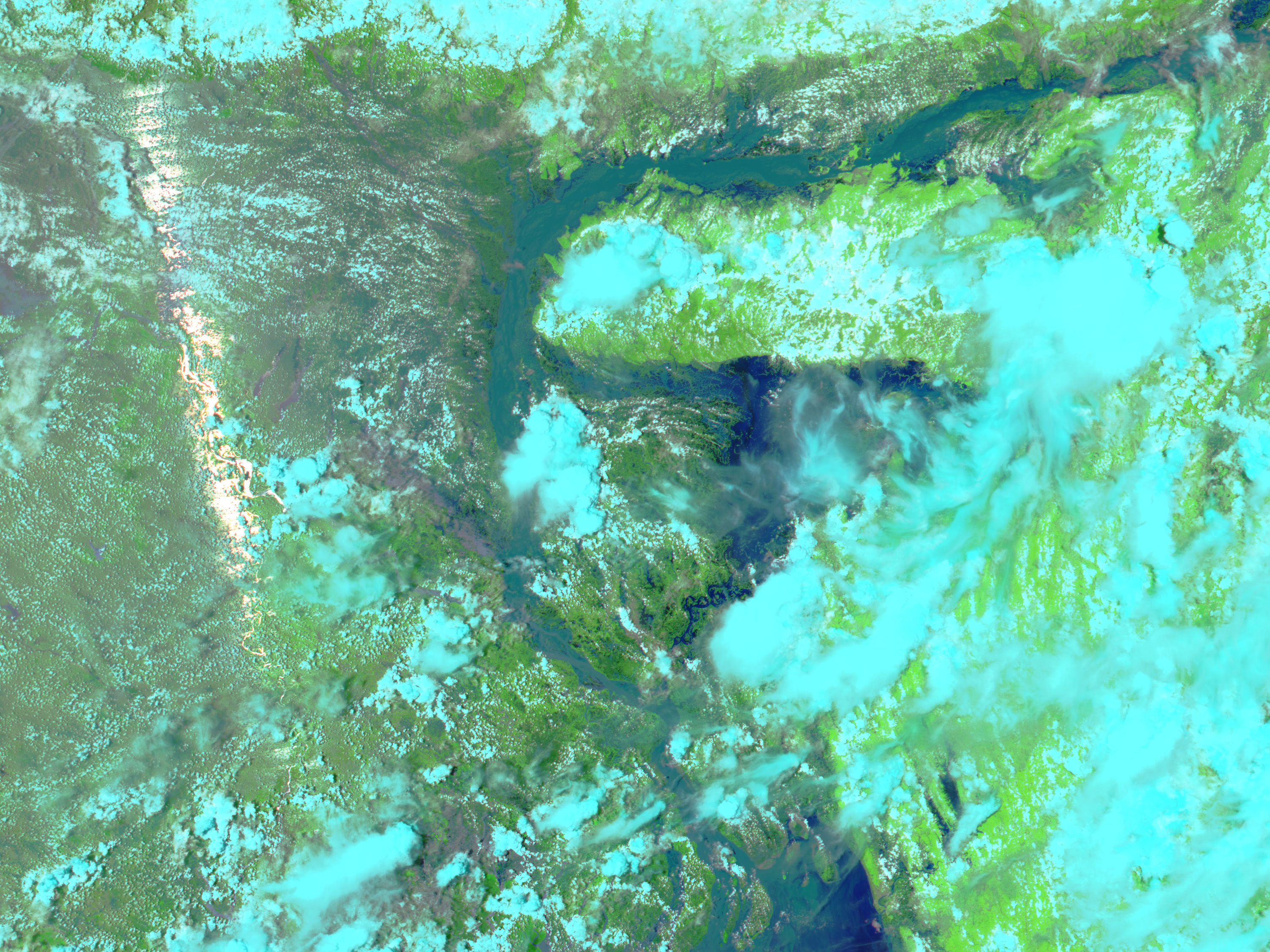
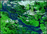
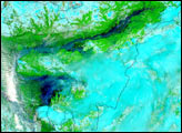
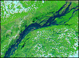
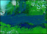
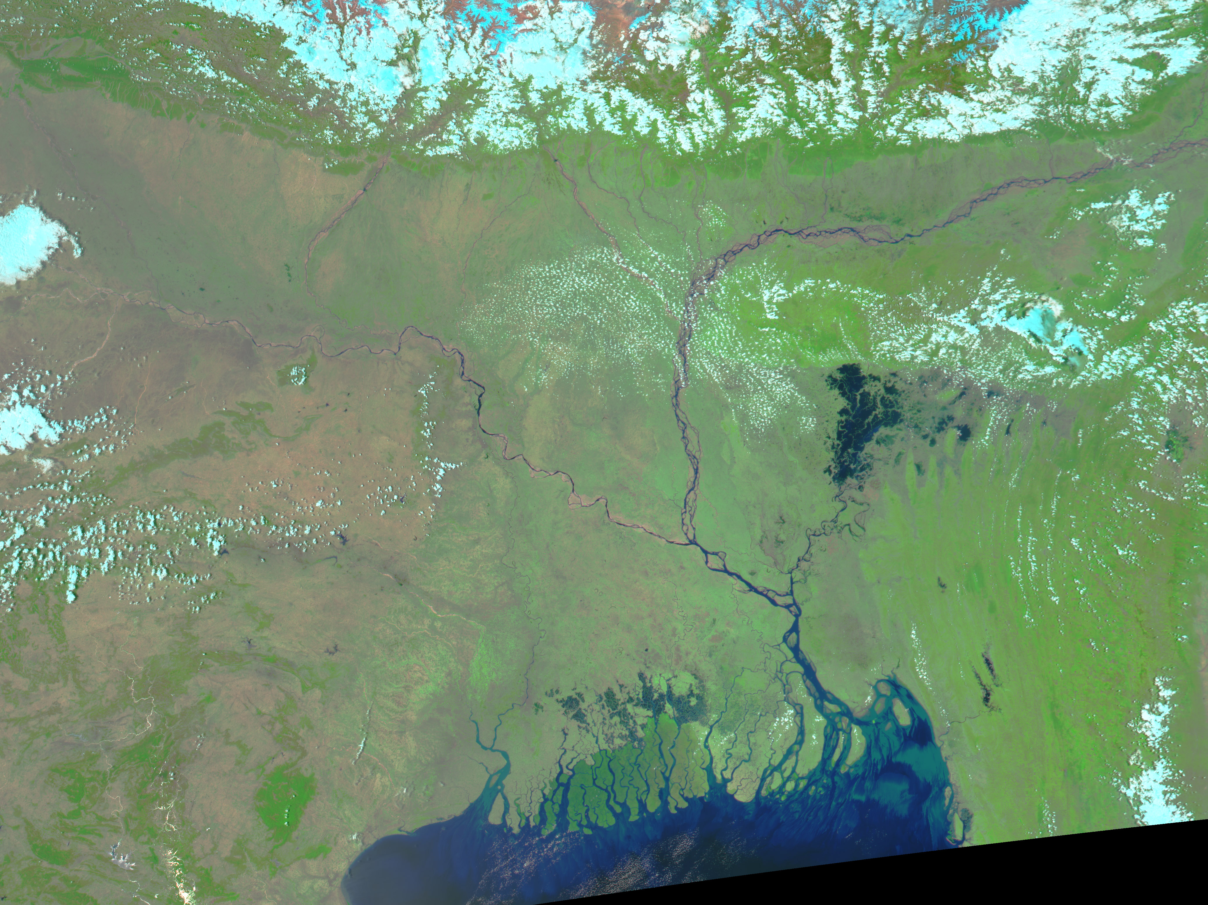
Heavy monsoon rains have filled the rivers of India and Bangladesh past capacity, affecting over ten million people in the densely populated countries. In the top image, taken by the Moderate Resolution Imaging Spectroradiometer (MODIS) on NASA’s Aqua satellite on July 13, 2004, the massively swollen Brahmaputra River flows through India’s Assam state and turns south into Bangladesh. Much of the flood damage is along this river. In Assam, an estimated 3,200 villages are under water, according to news reports, and one-third of Bangladesh has been affected. Officials are calling this year’s floods the worst in a decade. So far, nearly 170 people have died in the floods.
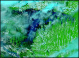
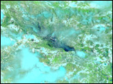
This false-color image pair provides a dramatic contrasting view of the flooded river on July 13, and the river during the dry season on May 8, 2004. In both images, water is dark blue, clouds are light blue, and vegetation is green. A bright white streak running across the flood image is caused by sunlight reflecting into MODIS’ “eye.” The high resolution images provided above are at MODIS’ maximum resolution of 250 meters per pixel.
Image courtesy Jesse Allen, based on data from the MODIS Rapid Response Team at NASA GSFC


