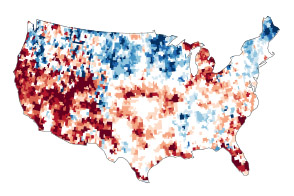
Scour the web and you might conclude Earth scientists have learned—and mapped—pretty much everything they possibly could about the world’s forests. You’ll find detailed maps of forest type and
But talk to forest experts, and they’ll remind you there is still plenty more to learn. “Take Alaska,” said Doug Morton, a scientist based at NASA’s Goddard Space Flight Center in Maryland. “The U.S. Forest Service Inventory and Analysis program—the largest network of forest inventory plots in the world—does not include 450,000 square kilometers (174,000 square miles) of forest in the interior of Alaska simply because it is so difficult to reach.” That’s an area larger than the entire state of California, which is about 404,000 square kilometers.
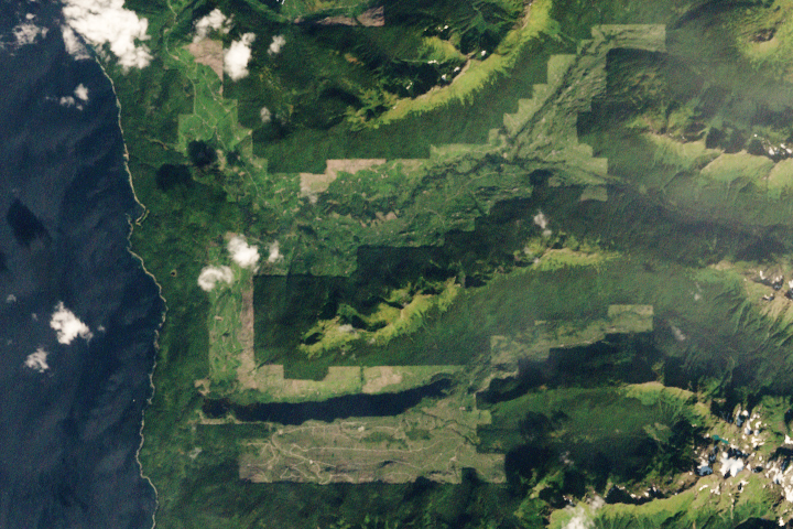
However, Morton is part of a team of scientists who hope to shed some light on these remote forests. Their current tool of choice: a Piper Cherokee PA-32. During a six-week field campaign this July and August, Morton and colleagues at NASA and the U.S. Forest Service are cruising low over Alaskan forests in the small airplane. The plane has a portable, airborne imaging system known as G-LiHT on board. In addition to capturing detailed aerial photos, G-LiHT is collecting lidar, hyperspectral, and thermal data that will make it possible for the scientists to pick up on details that are not visible to the naked eye. When they get back to their labs and offices, they plan to integrate the new data from G-LiHT with field measurements to make more detailed maps of Alaska’s forests.
By flying at just 335 meters (1,100 feet), they are collecting data and imagery that resolves details satellites orbiting much higher in the atmosphere simply cannot see. “We are getting photographs at ten centimeter resolution and science data from G-LiHT at one meter resolution,” said Morton. For comparison, the most detailed commercial satellite imagery that appears on Google Maps generally has one meter resolution. The Landsat 8 satellite, which carries some of NASA’s highest-resolution sensors, has instruments with 15-to-30 meter resolution. In other words, whereas forests generally look like broad swaths of green in Landsat images, it is possible to pick out the crowns of individual trees in G-LIHT data.
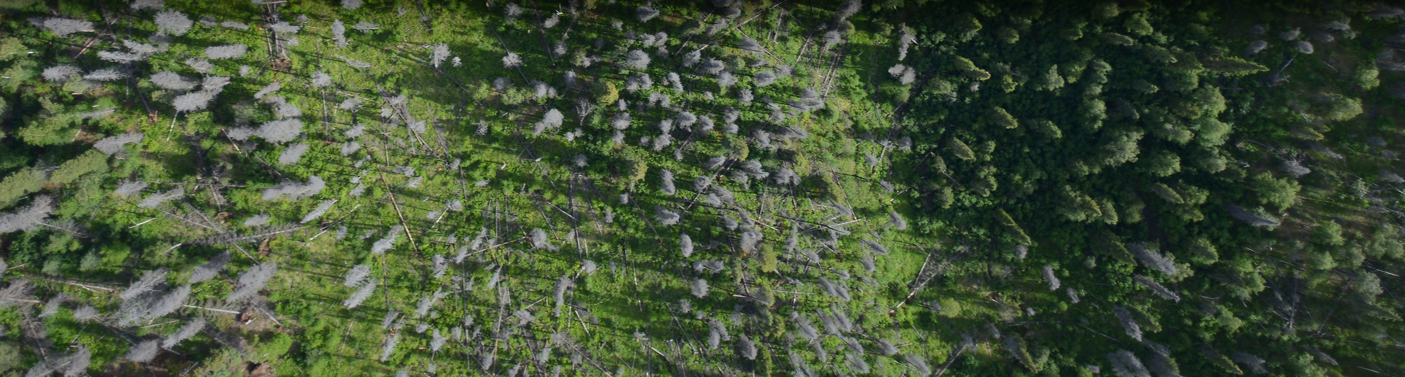
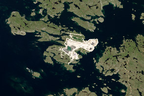
The researchers, for instance, captured the top image of forest and lakes near the Tetlin National Wildlife Refuge east of Tok, Alaska, on July 10, 2014. The stand of tall trees surrounding the lake is black spruce. The bright green vegetation surrounding the lakes is primarily sphagnum moss. The image below shows a dense forest of black spruce. In a blog post, Morton described the view from the Piper Cherokee:
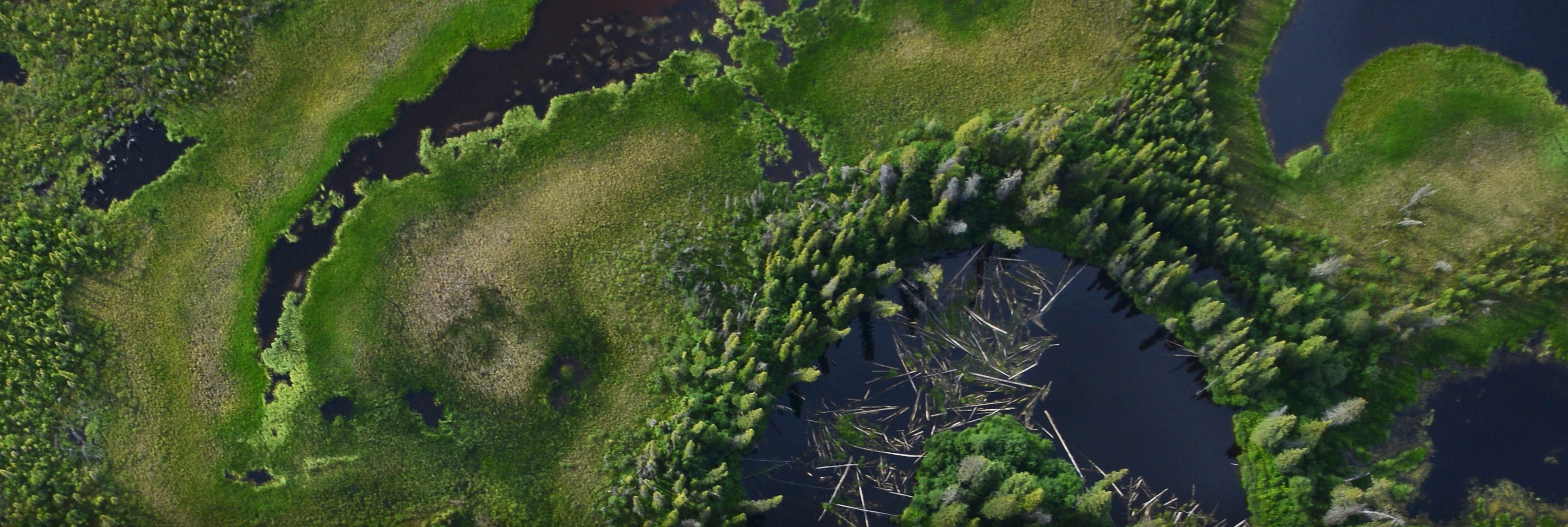
"At 1,100 feet above ground level, the view from above is stunning. Looking down, you see individual trees, small polygons formed by permafrost, and subtle changes in topography that allow vegetation to flourish on dry ground or wallow in the wetlands of the Tanana Flats. Small black spruce trees, barely head high and the width of a dinner plate, are packed together in stands too thick to walk through. Looking out, you can see the vast expanse of the Tanana Valley, a lush green carpet of forest."
G-LiHT data support a wide range of research activities on the structure and composition of forests in interior Alaska. “Probably the most important thing is that they provide crucial context for the satellite imagery,” said Morton. For example, Morton and his colleagues are interested in measuring how Alaska’s forests are responding to global warming and an increase in wildfire activity, but they need a solid understanding of what’s growing on the ground in order to do that. “As the planet warms, we may see generalized greening in low-resolution satellite imagery, but what’s driving the greening? Are mosses replacing forests as wetlands dry out, or are woody plants increasing in abundance? These are the kinds of questions we can answer with a combination of satellite data and high-res aerial imagery,” he said.
To read more about this campaign, read the NASA in Alaska blog.
Photographs courtesy of the G-LiHT team. Caption by Adam Voiland.