

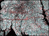
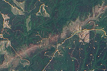
This pair of images from the Multi-angle Imaging Spectroradiometer (MISR) shows the strip of flattened and possibly denuded vegetation left by the F4 tornado (winds from 207 to 260 miles per hour, causing “devastating damage”) that struck La Plata, Maryland on April 28, 2002.
Published May 8, 2002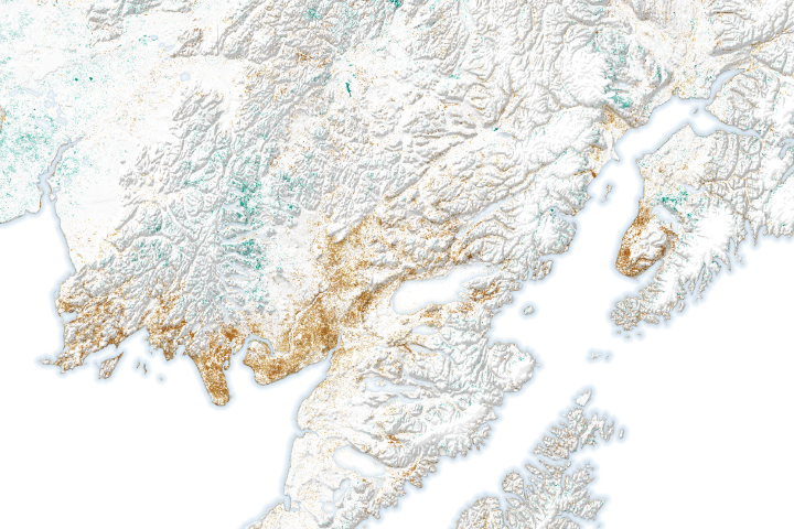
Tree and plant cover has deteriorated considerably in some areas, while advancing in other areas that previously burned or used to be frozen.
Published Jul 27, 2020
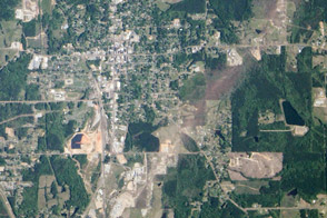
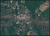
An EF4 tornado tore through this small town, leaving a trail of damaged buildings and trees.
Published May 9, 2014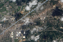
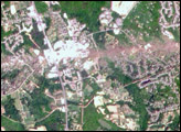
Acquired May 2, 2011, this natural-color image shows a tornado track through Tuscaloosa, Alabama, in the wake of a series of violent storms in the U.S. Southeast.
Published May 5, 2011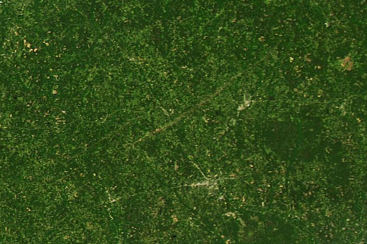
One of the more intense tornados to raze the ground in April 2020 left a scar visible from space.
Published Apr 15, 2020Image of the Day Atmosphere Land Severe Storms Human Presence Remote Sensing
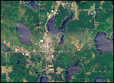
Acquired May 7, 2011, this natural-color image shows part of a tornado track near the town of Berry, Alabama.
Published May 13, 2011alert message
