
A wildfire burning in Los Padres National Park charred more than 500 acres—including the home of Big Sur’s fire chief.
Published Dec 17, 2013
The blaze is the largest in Arizona this year and the largest in the United States right now.
Published Jun 16, 2020Image of the Day Heat Land Fires Human Presence Remote Sensing

A wildfire in Fresno County, California has burned more than 28,000 acres.
Published Jul 20, 2020
An expansive, destructive wildfire north of Los Angeles is visible from space by day and night.
Published Jun 28, 2016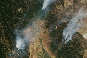
The 2012 wildfire season has proven to be one of the most aggressive in the last decade.
Published Aug 24, 2012
The Thomas fire has set new records while ravaging several communities.
Published Dec 24, 2017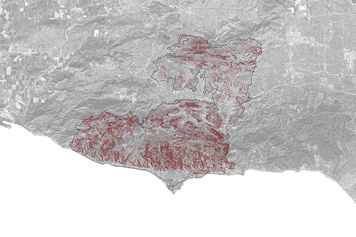
A NASA project is providing maps of satellite data to emergency response teams during the Woolsey Fire.
Published Nov 16, 2018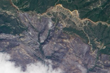
This natural-color image from May 10, 2009, shows the northern part of the area burned by the Jesusita Fire, in the Los Padres National Forest north of Santa Barbara, California.
Published May 12, 2009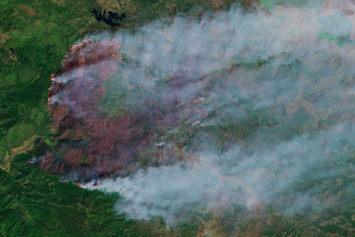
The wildfire has burned more than 50,000 acres, making it the state’s largest blaze in 2019.
Published Sep 13, 2019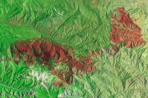
Little heat remained, but the California fire left behind a burn scar spanning almost 50 square miles.
Published Jul 7, 2015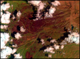
This false-color image shows the brick-red burn scar left behind by the Guiberson Fire in Ventura County, California, on September 26, 2009.
Published Sep 28, 2009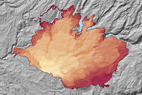
At 369 square miles in size, the Rim Fire is the largest in the United States in 2013.
Published Sep 4, 2013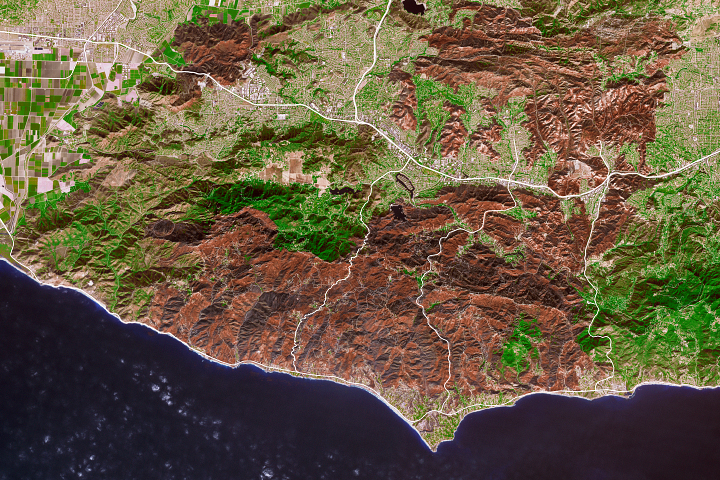
As the destructive California fire nears full containment, it has left behind an expanse of charred land.
Published Nov 19, 2018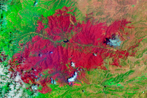
The EO-1 satellite observed the burn scar from the Little Bear Fire.
Published Jun 14, 2012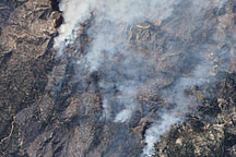
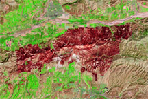
This false-color image illustrates the extent of the Station Fire in southern California.
Published Sep 15, 2009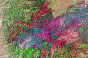
The Whitewater-Baldy Fire is the largest on record in New Mexico.
Published Jun 14, 2012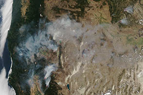
In August 2012, lightning sparked numerous wildfires that burned throughout the western United States.
Published Aug 15, 2012alert message
