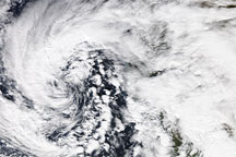
Acquired January 20, 2010, this true-color image shows an apostrophe-shaped storm, looking slightly like a hurricane without most of its center, over the California coast. Isolated areas of clear sky show the Central Valley and Baja Peninsula.
Published Jan 21, 2010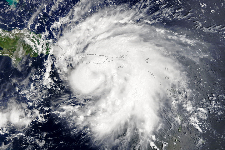
Fiona and Nanmadol dropped several feet of rain on the islands on opposite sides of the world.
Published Sep 19, 2022
The increase around the wettest regions of Earth comes from a rise in large, well-organized thunderstorms.
Published Mar 26, 2015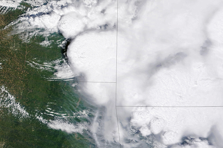
Overshooting tops and above-anvil cirrus plumes are clues that an especially destructive thunderstorm is brewing below.
Published May 19, 2022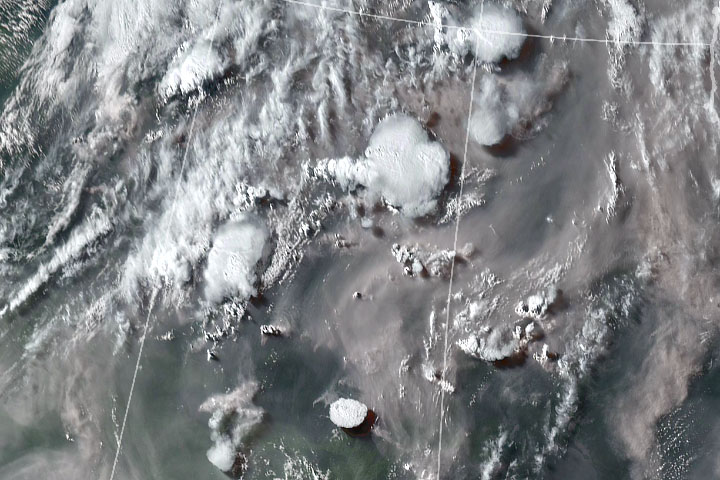
For decades, scientists have been tracking extreme thunderstorms created by wildfires. However, the ferocity of the storms that have popped up in Canada in 2021 has surprised them.
Published Jul 29, 2021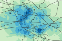
Between May and October 2009, 12 tropical cyclones poured rain over the Philippine Islands. This image illustrates how much rain fell over the islands when the storms were active.
Published Dec 5, 2009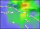
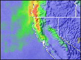
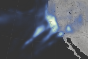
Parts of Northern California and the Sierra Nevada have not seen this much rain and snow since 2005.
Published Jan 12, 2017alert message
