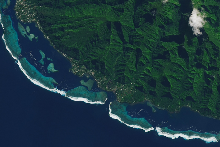
The waves off the coast of Teahupo’o can heave a crushing amount of water toward the shore and onto unlucky surfers.
Published Jul 14, 2022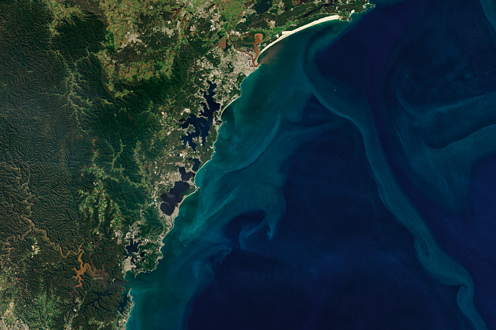
Yet another extreme precipitation event sent rivers out of their banks, inundating coastal towns and prompting evacuations.
Published Apr 8, 2022Image of the Day Land Water Drought Fires Floods Severe Storms Human Presence Temperature Extremes
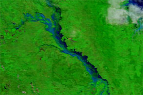
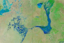
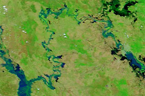
Acquired in late March 2012 and 2011, these images compare conditions along the Isaac River, a tributary of Queensland’s Fitzroy River.
Published Mar 29, 2012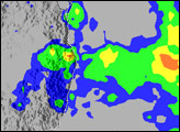
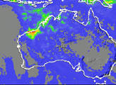
Acquired March 26, 2010 (top), and March 14, 2010 (bottom), these false-color images track the movement of floodwaters in Australia’s Channel Country.
Published Mar 29, 2010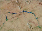
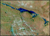
Acquired January 17 and 30, 2013, these images compare conditions along the Mackenzie-Fitzroy River system.
Published Jan 31, 2013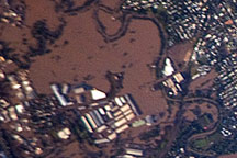
Acquired January 13, 2011 by astronauts aboard the ISS, this photograph shows extensive flooding in the Brisbane suburb of Rocklea.
Published Jan 18, 2011alert message
