The unexpected discovery of a whale skeleton hundreds of miles from the sea and more than 200 feet above sea level in 1849 is a reminder of how much sea level can change.
Published May 19, 2021
While scientists have grown more confident about projections of sea level rise for the next few decades, many competing factors make it hard to see far into the coastal future.
Published Jul 8, 2021Image of the Day Heat Land Water Human Presence Remote Sensing
The acceleration has been driven mainly by increased ice melting in Greenland and Antarctica, and it has the potential to double the total sea level rise projected by 2100.
Published Feb 20, 2018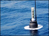
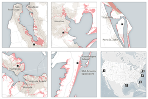
The nation’s problem is also NASA’s problem: Half to two-thirds of our space infrastructure and assets stand within 5 meters of sea level.
Published Sep 8, 2015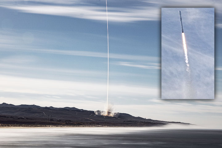
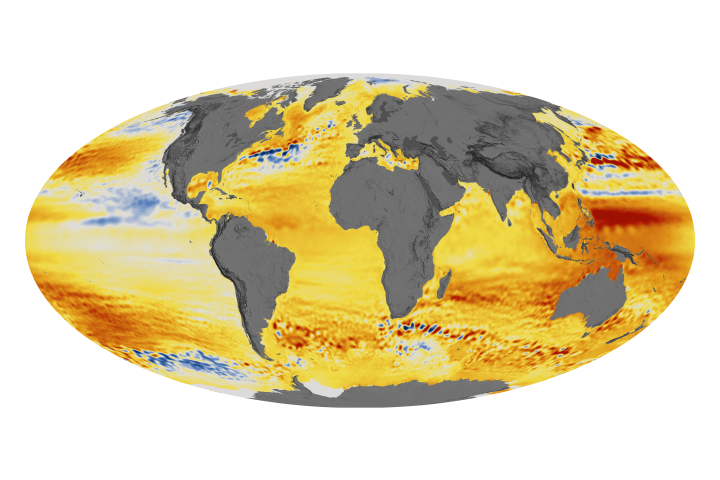
Sentinel-6 Michael Freilich will extend a nearly 30-year continuous dataset on sea surface height.
Published Nov 24, 2020Image of the Day Atmosphere Land Human Presence Remote Sensing
Global sea level rise poses very local challenges for the many NASA centers situated on U.S. coasts.
Published Sep 30, 2015
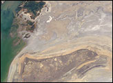
The arrow-shaped island in the Aral Sea used to be a 35-kilometer-long visual marker, indicating the Aral Sea to astronauts. An image from the present International Space Station increment shows how much the coastline has changed as the sea level has dropped during the last three decades.
Published Aug 15, 2005
Scientists measure ice’s gravitational pull on a pair of satellites, allowing them to estimate ice loss and its contribution to sea level rise.
Published Nov 5, 2020alert message
