The amount of carbon that is being stored by trees and how it has changed over time is the least understood aspect of the global carbon cycle.
Published Jan 27, 2020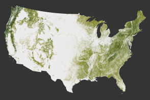
The National Biomass and Carbon Dataset reveals the location and the carbon storage of forests in the United States.
Published Jan 11, 2012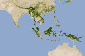
New maps show an estimate of the carbon stored in tropical forests and how sure scientists are about those estimates.
Published Jan 18, 2012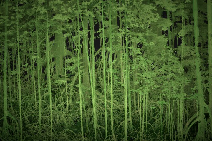
Scientists use lasers and cameras to characterize the 3D structure of mangrove forests in Gabon.
Published Jun 1, 2017
Differences in how international and national institutions classify forests can lead to large discrepancies in measurements of land cover.
Published Nov 17, 2015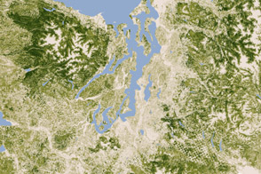
A new map of the biomass in the United States allows scientists and land managers to see tree cover down to the scale of individual plots of land.
Published Feb 17, 2012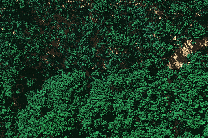
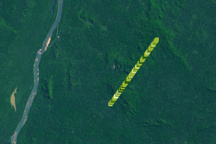
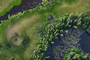
A research team has found that 40 to 60 percent of the tall trees surveyed on the island either lost large branches, were snapped in half, or were uprooted by strong winds from Hurricane Maria.
Published Feb 1, 2019Image of the Day Atmosphere Land Severe Storms Remote Sensing
A small plane flying low over remote forests is sending back eye-popping aerial photography—as well as scientific measurements that will improve understanding of how Alaska’s forests are responding to global warming.
Published Jul 25, 2014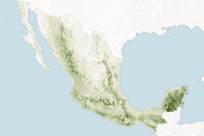
Mapping the density and location of tree cover can help the nation reduce deforestation and offset carbon emissions.
Published Nov 5, 2015
Forests in drylands are much more extensive than previously reported.
Published Aug 10, 2017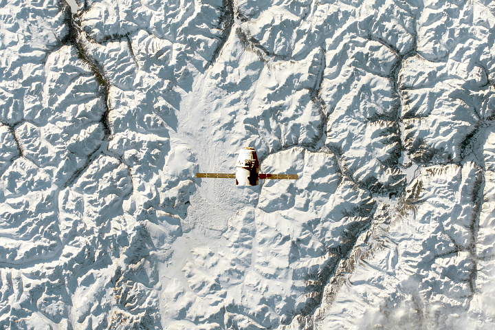
As NASA's latest care package heads toward the International Space Station, it traveled over beautiful Earth landscapes—from scenic snowscapes to desolate deserts.
Published Dec 21, 2018alert message
