The typhoon grew from a tropical storm to a category 5 storm in less than a day.
Published Oct 8, 2019
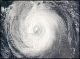
On July 15, 2011, the MODIS instrument on NASA's Aqua satellite captured this view of Typhoon Ma-on.
Published Jul 16, 2011
Though downgraded from a super typhoon, the storm was expected to pound Japan with several days of intense rainfall.
Published Jun 20, 2012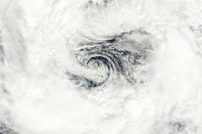
Acquired September 2, 2011, this natural-color image shows Tropical Storm Talas over Japan.
Published Sep 2, 2011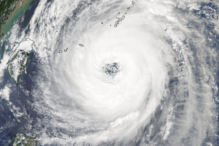
As the storm turns toward Japan, the country’s meteorological agency warns of the potential for heavy winds, rain, landslides, and flooding.
Published Sep 29, 2018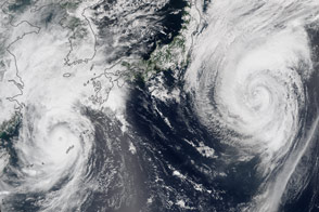
Two typhoons spun over the western North Pacific near Japan.
Published Aug 25, 2015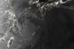
As the typhoon churned the East China Sea and pounded Okinawa with flooding rains, the larger Japanese islands braced for landfall.
Published Jul 10, 2014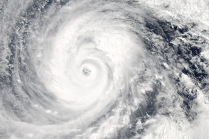
The second massive storm of October 2014 barrels down on Japan.
Published Oct 10, 2014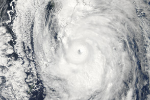
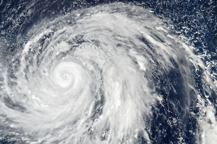
Poised to go ashore over Japan, Typhoon Roke is a large, well-developed storm in this image from September 20, 2011.
Published Sep 21, 2011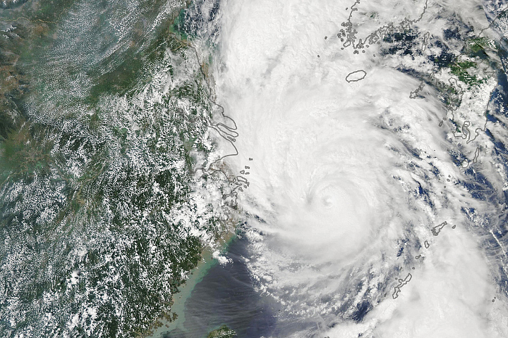
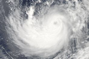
Typhoon Lingling is the thirteenth tropical cyclone in the North Pacific this year.
Published Sep 6, 2019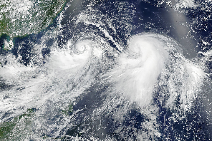
Dual storms marched across the Western Pacific Ocean in early August 2019.
Published Aug 7, 2019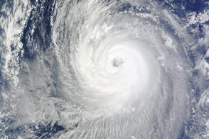
A storm spinning off the coast of Japan promises widespread rain.
Published Oct 4, 2014