Images related to Amazon Deforestation, Mato Grosso, Brazil

NASA Satellite Measures Deforestation
Image

NASA Satellite Measures Deforestation

MODIS sensors view the Amazon multiple times a day, so they can provide a rapid assessment of forest change that is not possible with high-resolution sensors.

Published Sep 14, 2005

Image of the Day Land Life

Fires and Deforestation in Brazil
Image

Fires and Deforestation in Brazil

Published Jun 8, 2002

Fires

Tracking Amazon Deforestation from Above
Image

Tracking Amazon Deforestation from Above

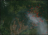
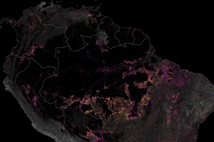
Satellites have played a key role in monitoring and reducing the rate of deforestation in the rainforest.

Published Dec 19, 2019

Image of the Day Land Fires Remote Sensing

Deforestation in Mato Grosso, Brazil
Image

Deforestation in Mato Grosso, Brazil

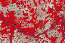
The most conspicuous difference between the images is the widespread forest clearing—visible as rectangles of gray-beige—that had occurred by 2006.

Published Nov 14, 2008

Image of the Day Land Life Human Presence

Deforestation in Brazil
Image

Deforestation in Brazil

Published Apr 30, 2002

Unique Imagery

Making Sense of Amazon Deforestation Patterns
Image

Making Sense of Amazon Deforestation Patterns

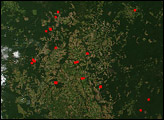
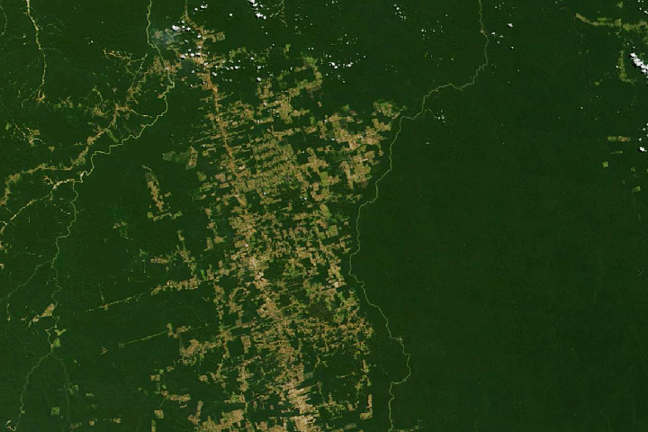
Decades of satellite data make it possible to map how deforestation has evolved over time.

Published Nov 21, 2019

Image of the Day Land Fires Human Presence Remote Sensing

Fires and Deforestation in the Amazon
Image

Fires and Deforestation in the Amazon

Published Aug 6, 2007

Fires

Fires and Deforestation in the Amazon
Image

Fires and Deforestation in the Amazon

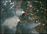
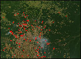
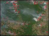
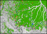
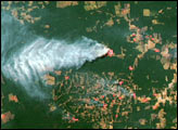
The Amazon Rainforest of South America is rapidly falling as people colonize and develop a new frontier. Where there was once no such thing as an “Amazon fire season,” fires are now widespread in the dry season as people clear forest or manage already cleared plots of crop or grazing land.

Published Aug 16, 2007

Land Fires